
| Memorials | : | 0 |
| Location | : | Mount Gilead, Morrow County, USA |
| Coordinate | : | 40.5794710, -82.6631770 |
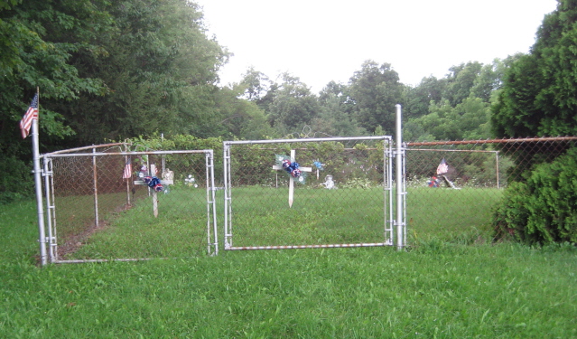
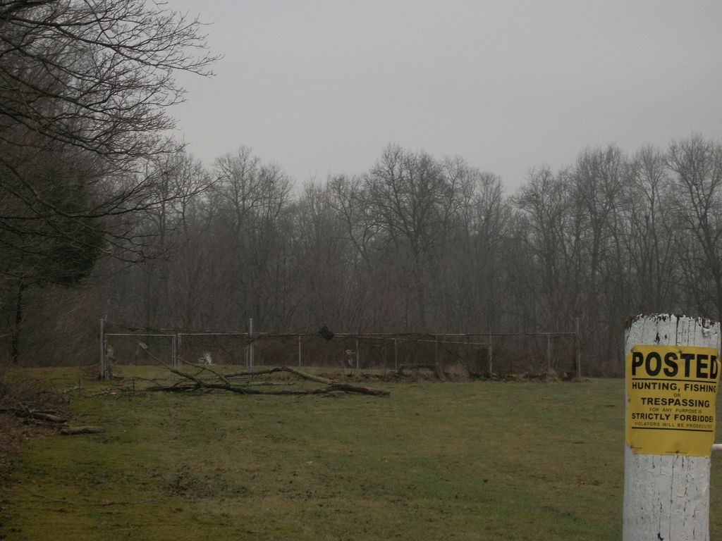
| Description | : | The cemetery is located on the west side of Chesterville-Shelby Road (Ohio State Route 314) behind the North Woodbury Freewill Baptist Church. The cemetery is located in Perry Township, Morrow County, Ohio, and is # 8686 (Franks Cemetery) in “Ohio Cemeteries 1803-2003”, compiled by the Ohio Genealogical Society. |
frequently asked questions (FAQ):
-
Where is Franks Cemetery?
Franks Cemetery is located at 6186 Chesterville-Shelby Road (Ohio State Route 314) Mount Gilead, Morrow County ,Ohio , 43338USA.
-
Franks Cemetery cemetery's updated grave count on graveviews.com?
0 memorials
-
Where are the coordinates of the Franks Cemetery?
Latitude: 40.5794710
Longitude: -82.6631770
Nearby Cemetories:
1. Bufmer Cemetery
North Woodbury, Morrow County, USA
Coordinate: 40.6010970, -82.6633520
2. Woodbury Cemetery
North Woodbury, Morrow County, USA
Coordinate: 40.6011800, -82.6629440
3. Singrey Cemetery
Morrow County, USA
Coordinate: 40.5730200, -82.6287500
4. Lucas Family Cemetery
Perry Township, Morrow County, USA
Coordinate: 40.6071760, -82.6427490
5. Old Center Cemetery
Darlington, Richland County, USA
Coordinate: 40.6011700, -82.6240600
6. North Fork Cemetery
Chesterville, Morrow County, USA
Coordinate: 40.5443800, -82.6475200
7. Levering Cemetery
Waterford, Knox County, USA
Coordinate: 40.5479460, -82.6196770
8. Perry Cemetery
Bellville, Richland County, USA
Coordinate: 40.5862060, -82.5953830
9. Shauck Cemetery
Shauck, Morrow County, USA
Coordinate: 40.6310997, -82.6492004
10. Pulaskiville Cemetery
Pulaskiville, Morrow County, USA
Coordinate: 40.5356200, -82.7112900
11. Yankee Street Presbyterian Cemetery
Chesterville, Morrow County, USA
Coordinate: 40.5192270, -82.6690611
12. Culp Cemetery
Perry Township, Richland County, USA
Coordinate: 40.5656013, -82.5836029
13. Pleasant Grove Cemetery
Bangorville, Richland County, USA
Coordinate: 40.6083305, -82.5866719
14. Walters Cemetery
Morrow County, USA
Coordinate: 40.6478004, -82.6639023
15. Oak Grove Memorial Park
Lexington, Richland County, USA
Coordinate: 40.6454380, -82.6261340
16. Pleasant Grove Cemetery
West Point, Morrow County, USA
Coordinate: 40.6170000, -82.7474000
17. Strong Cemetery
Knox County, USA
Coordinate: 40.5155983, -82.6113968
18. Center Corners Cemetery
Chesterville, Morrow County, USA
Coordinate: 40.5030000, -82.6725600
19. Bowser Cemetery
Lexington, Richland County, USA
Coordinate: 40.6305510, -82.5828100
20. Haldeman Cemetery
Morrow County, USA
Coordinate: 40.6591988, -82.6667023
21. Mount Tabor Methodist Episcopal Cemetery
Mount Gilead, Morrow County, USA
Coordinate: 40.5958900, -82.7662900
22. Ruhl Cemetery
Fredericktown, Knox County, USA
Coordinate: 40.5167270, -82.5968350
23. Bryn Zion Cemetery
Mount Gilead, Morrow County, USA
Coordinate: 40.5567300, -82.7682300
24. Baldwin Cemetery
Middlebury Township, Knox County, USA
Coordinate: 40.5499600, -82.5582700