
| Memorials | : | 0 |
| Location | : | Chesterville, Morrow County, USA |
| Coordinate | : | 40.5030000, -82.6725600 |
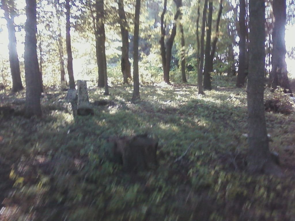
| Description | : | This cemetery is just east of state route 314 on county road 121. It is on the north side of the road in the trees. The cemetery is located in Franklin Township, Morrow County, Ohio, and is # 7343 (Center Corners Cemetery) in “Ohio Cemeteries 1803-2003”, compiled by the Ohio Genealogical Society. |
frequently asked questions (FAQ):
-
Where is Center Corners Cemetery?
Center Corners Cemetery is located at 43019 Chesterville, Morrow County ,Ohio ,USA.
-
Center Corners Cemetery cemetery's updated grave count on graveviews.com?
0 memorials
-
Where are the coordinates of the Center Corners Cemetery?
Latitude: 40.5030000
Longitude: -82.6725600
Nearby Cemetories:
1. Yankee Street Presbyterian Cemetery
Chesterville, Morrow County, USA
Coordinate: 40.5192270, -82.6690611
2. Chesterville Methodist Episcopal Cemetery
Chesterville, Morrow County, USA
Coordinate: 40.4798000, -82.6799780
3. Chesterville Presbyterian Cemetery
Chesterville, Morrow County, USA
Coordinate: 40.4798000, -82.6799780
4. Maple Grove Cemetery
Chesterville, Morrow County, USA
Coordinate: 40.4761009, -82.6782990
5. Salem Methodist Episcopal Cemetery
Fredericktown, Knox County, USA
Coordinate: 40.4842300, -82.6257300
6. Pulaskiville Cemetery
Pulaskiville, Morrow County, USA
Coordinate: 40.5356200, -82.7112900
7. North Fork Cemetery
Chesterville, Morrow County, USA
Coordinate: 40.5443800, -82.6475200
8. Strong Cemetery
Knox County, USA
Coordinate: 40.5155983, -82.6113968
9. George Family Cemetery
Franklin Township, Morrow County, USA
Coordinate: 40.5164420, -82.7447810
10. Wayne Baptist Cemetery
Knox County, USA
Coordinate: 40.4667358, -82.6142654
11. Blackbird Methodist Episcopal Church Cemetery
Harmony Township, Morrow County, USA
Coordinate: 40.4964500, -82.7482300
12. Chester Baptist Cemetery
Morrow County, USA
Coordinate: 40.4483900, -82.6979500
13. Ruhl Cemetery
Fredericktown, Knox County, USA
Coordinate: 40.5167270, -82.5968350
14. Levering Cemetery
Waterford, Knox County, USA
Coordinate: 40.5479460, -82.6196770
15. Franks Cemetery
Mount Gilead, Morrow County, USA
Coordinate: 40.5794710, -82.6631770
16. Singrey Cemetery
Morrow County, USA
Coordinate: 40.5730200, -82.6287500
17. Kelly Family Cemetery #2
Chesterville, Morrow County, USA
Coordinate: 40.5328050, -82.7670350
18. Bethel Cemetery
Chesterville, Morrow County, USA
Coordinate: 40.4236723, -82.6998950
19. Kenney Cemetery
Cardington, Morrow County, USA
Coordinate: 40.4895048, -82.7879549
20. Bryn Zion Cemetery
Mount Gilead, Morrow County, USA
Coordinate: 40.5567300, -82.7682300
21. Culp Cemetery
Perry Township, Richland County, USA
Coordinate: 40.5656013, -82.5836029
22. Quaker Cemetery
Fredericktown, Knox County, USA
Coordinate: 40.5113000, -82.5495000
23. Forest Cemetery
Fredericktown, Knox County, USA
Coordinate: 40.4785995, -82.5528030
24. McDaniel Cemetery
Middlebury Township, Knox County, USA
Coordinate: 40.5211517, -82.5493273