
| Memorials | : | 33 |
| Location | : | Adair County, USA |
| Coordinate | : | 37.0723680, -85.1820340 |
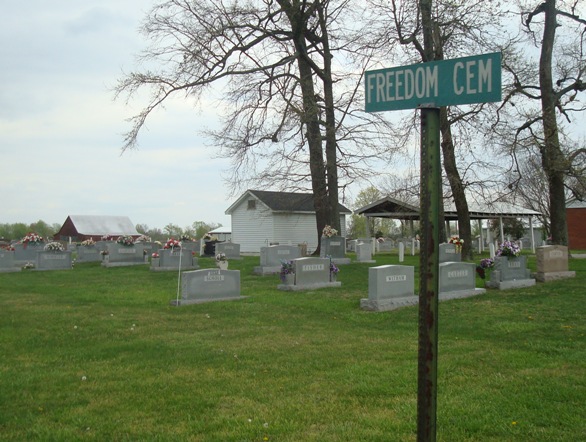
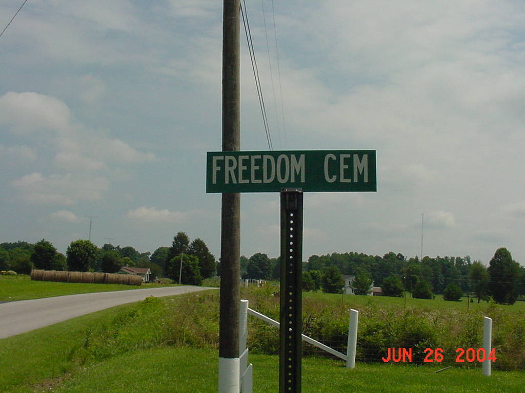
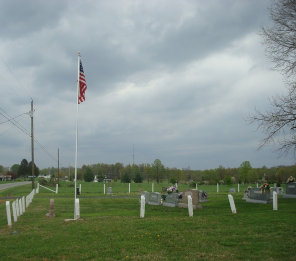
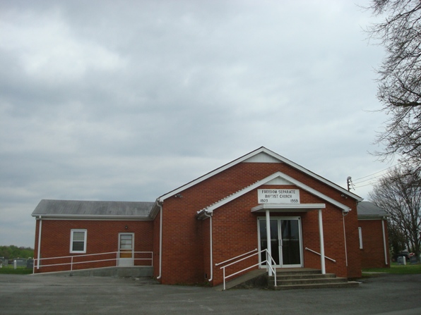
| Description | : | The names of the Freedom Separate Baptist Church, Freedom Church of God, and Freedom Cemetery are derived from an elevation of land there known as Freedom Ridge. From November 7, 1907 to June 15, 1935, the area was serviced by an Adair County post office located in what was known as Roy. It is no longer identified on present-day maps, but the Roy post office building was located less than a mile south of the cemetery on what is now called Columbia Lane. The present mailing address for the church is Russell Springs which is in... Read More |
frequently asked questions (FAQ):
-
Where is Freedom Cemetery?
Freedom Cemetery is located at 576 Freedom Church Road in the Freedom community Adair County ,Kentucky , 42642USA.
-
Freedom Cemetery cemetery's updated grave count on graveviews.com?
32 memorials
-
Where are the coordinates of the Freedom Cemetery?
Latitude: 37.0723680
Longitude: -85.1820340
Nearby Cemetories:
1. Bailey Cemetery
Gentrys Mill, Adair County, USA
Coordinate: 37.0718498, -85.1826935
2. Conover Cemetery
Gentrys Mill, Adair County, USA
Coordinate: 37.0793020, -85.1630950
3. Perryman Cemetery
Gentrys Mill, Adair County, USA
Coordinate: 37.0693170, -85.1608500
4. Conover Cemetery
Adair County, USA
Coordinate: 37.0561100, -85.1893910
5. Taylor Cemetery
Columbia, Adair County, USA
Coordinate: 37.0634210, -85.2031370
6. Franklin Bryant Cemetery
Columbia, Adair County, USA
Coordinate: 37.0706110, -85.2089720
7. Acree Cemetery
Columbia, Adair County, USA
Coordinate: 37.0495600, -85.1675000
8. Murrell Cemetery
Craycraft, Adair County, USA
Coordinate: 37.0942700, -85.2008000
9. Womack Cemetery
Gentrys Mill, Adair County, USA
Coordinate: 37.0634613, -85.1489029
10. Gentry Cemetery
Gentrys Mill, Adair County, USA
Coordinate: 37.0844193, -85.1502991
11. Combest Family Cemetery
Ozark, Adair County, USA
Coordinate: 37.0694200, -85.2173670
12. Cravens Cemetery
Craycraft, Adair County, USA
Coordinate: 37.1028404, -85.1978912
13. Sparks Cemetery
Ozark, Adair County, USA
Coordinate: 37.0485900, -85.2133000
14. Haynes Cemetery
Montpelier, Adair County, USA
Coordinate: 37.0383900, -85.1682500
15. Grider Cemetery
New Concord, Adair County, USA
Coordinate: 37.0941670, -85.2176170
16. Shiloh Christian Church Cemetery
Ozark, Adair County, USA
Coordinate: 37.0766830, -85.2283170
17. Grider Cemetery
Columbia, Adair County, USA
Coordinate: 37.1093990, -85.1938390
18. Reeves Family Cemetery
Ozark, Adair County, USA
Coordinate: 37.0689700, -85.2317100
19. Lander Bryant Cemetery
Ozark, Adair County, USA
Coordinate: 37.0819283, -85.2305679
20. Concord Cemetery
New Concord, Adair County, USA
Coordinate: 37.0973700, -85.2221100
21. William J Montgomery Cemetery
Ozark, Adair County, USA
Coordinate: 37.0728560, -85.2353780
22. Montgomery Cemetery
Ozark, Adair County, USA
Coordinate: 37.0720170, -85.2364000
23. White Family Cemetery
Ozark, Adair County, USA
Coordinate: 37.0874390, -85.2356460
24. Pleasant Hill Cemetery
Montpelier, Adair County, USA
Coordinate: 37.0312930, -85.2075790