
| Memorials | : | 54 |
| Location | : | Montpelier, Adair County, USA |
| Coordinate | : | 37.0383900, -85.1682500 |
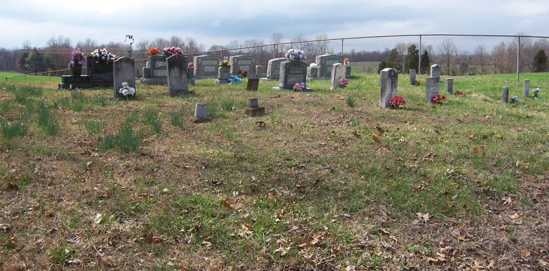
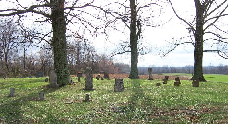
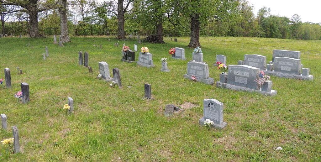
| Description | : | To drive to the Haynes Cemetery from Columbia, Kentucky, drive from Columbia on Jamestown Street to Russell Road (East Highway 80). Turn left on Russell Road. Drive about six miles to Powell Road. Turn right on Powell Road; the road turns sharply and suddenly, right. Proceed on Powell Road over the Louie B. Nunn Cumberland Parkway overpass. Immediately turn left on White Oak Church Road. Proceed near the boundary of Adair and Russell Counties. Before reaching Russell County, the Haynes Cemetery will be on the left. Turn left on a gravel roadway.... Read More |
frequently asked questions (FAQ):
-
Where is Haynes Cemetery?
Haynes Cemetery is located at White Oak Church Road Montpelier, Adair County ,Kentucky , 42728USA.
-
Haynes Cemetery cemetery's updated grave count on graveviews.com?
53 memorials
-
Where are the coordinates of the Haynes Cemetery?
Latitude: 37.0383900
Longitude: -85.1682500
Nearby Cemetories:
1. Acree Cemetery
Columbia, Adair County, USA
Coordinate: 37.0495600, -85.1675000
2. Leach Cemetery
Montpelier, Adair County, USA
Coordinate: 37.0254810, -85.1880910
3. Old Bethel Cemetery
Montpelier, Adair County, USA
Coordinate: 37.0252160, -85.1879190
4. Pleasant Grove Cemetery
Montpelier, Adair County, USA
Coordinate: 37.0250320, -85.1884710
5. Conover Cemetery
Adair County, USA
Coordinate: 37.0561100, -85.1893910
6. Womack Cemetery
Gentrys Mill, Adair County, USA
Coordinate: 37.0634613, -85.1489029
7. Perryman Cemetery
Gentrys Mill, Adair County, USA
Coordinate: 37.0693170, -85.1608500
8. Pleasant Hill Cemetery
Montpelier, Adair County, USA
Coordinate: 37.0312930, -85.2075790
9. Bailey Cemetery
Gentrys Mill, Adair County, USA
Coordinate: 37.0718498, -85.1826935
10. Freedom Cemetery
Adair County, USA
Coordinate: 37.0723680, -85.1820340
11. Sparks Cemetery
Ozark, Adair County, USA
Coordinate: 37.0485900, -85.2133000
12. Taylor Cemetery
Columbia, Adair County, USA
Coordinate: 37.0634210, -85.2031370
13. Conover Cemetery
Gentrys Mill, Adair County, USA
Coordinate: 37.0793020, -85.1630950
14. Franklin Bryant Cemetery
Columbia, Adair County, USA
Coordinate: 37.0706110, -85.2089720
15. Gentry Cemetery
Gentrys Mill, Adair County, USA
Coordinate: 37.0844193, -85.1502991
16. Combest Family Cemetery
Ozark, Adair County, USA
Coordinate: 37.0694200, -85.2173670
17. Bradshaw Cemetery
Glens Fork, Adair County, USA
Coordinate: 36.9971400, -85.2068900
18. Reeves Family Cemetery
Ozark, Adair County, USA
Coordinate: 37.0689700, -85.2317100
19. Abrel Cemetery
Glens Fork, Adair County, USA
Coordinate: 37.0110738, -85.2355640
20. Andrew Cemetery
Glens Fork, Adair County, USA
Coordinate: 37.0107100, -85.2355300
21. Cross Family Cemetery
Joppa, Adair County, USA
Coordinate: 37.0516701, -85.2422180
22. Shiloh Christian Church Cemetery
Ozark, Adair County, USA
Coordinate: 37.0766830, -85.2283170
23. Murrell Cemetery
Craycraft, Adair County, USA
Coordinate: 37.0942700, -85.2008000
24. Ragan Cemetery
Crocus, Adair County, USA
Coordinate: 36.9860992, -85.2093964