
| Memorials | : | 0 |
| Location | : | Harbine, Jefferson County, USA |
| Coordinate | : | 40.1826480, -96.9540828 |
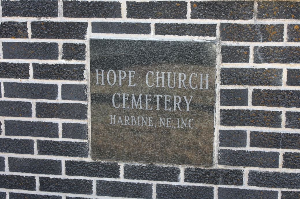
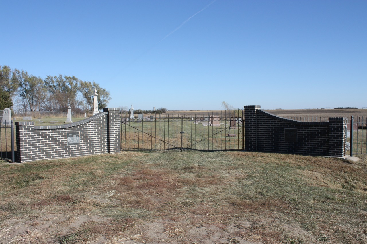
| Description | : | Hope Church Cemetery was established in 1883 and was affiliated with the Hope Reformed Church (later named the Hope United Church of Christ.) The cemetery is located on the east side of 580th Avenue. |
frequently asked questions (FAQ):
-
Where is Hope Church Cemetery?
Hope Church Cemetery is located at Harbine, Jefferson County ,Nebraska ,USA.
-
Hope Church Cemetery cemetery's updated grave count on graveviews.com?
0 memorials
-
Where are the coordinates of the Hope Church Cemetery?
Latitude: 40.1826480
Longitude: -96.9540828
Nearby Cemetories:
1. Harbine Cemetery
Harbine, Jefferson County, USA
Coordinate: 40.2042007, -96.9717026
2. Prairie Home Cemetery
Diller, Jefferson County, USA
Coordinate: 40.1328011, -96.9321976
3. Zion Lutheran Cemetery
Harbine, Jefferson County, USA
Coordinate: 40.2346610, -96.9350780
4. Ellis Cemetery
Beatrice, Gage County, USA
Coordinate: 40.2260017, -96.8785019
5. Sparks Cemetery
Beatrice, Gage County, USA
Coordinate: 40.2485180, -96.8984970
6. Hildebrandt Cemetery
Jansen, Jefferson County, USA
Coordinate: 40.2225750, -97.0476330
7. Thiessen Cemetery
Jansen, Jefferson County, USA
Coordinate: 40.1899650, -97.0640780
8. Old Plymouth Cemetery
Plymouth, Jefferson County, USA
Coordinate: 40.2621994, -97.0235977
9. Jansen Cemetery
Jansen, Jefferson County, USA
Coordinate: 40.1903000, -97.0958023
10. Kilpatrick Cemetery
Plymouth, Jefferson County, USA
Coordinate: 40.2919006, -96.9338989
11. Anyon Cemetery
Beatrice, Gage County, USA
Coordinate: 40.1548600, -96.8128800
12. Reserve Cemetery
Odell, Gage County, USA
Coordinate: 40.0888700, -96.8641400
13. Saint Pauls Church of Christ Cemetery
Jefferson County, USA
Coordinate: 40.2478480, -97.0808630
14. Woodlawn Cemetery
Plymouth, Jefferson County, USA
Coordinate: 40.2991982, -96.9906006
15. Bartel Cemetery
Jansen, Jefferson County, USA
Coordinate: 40.1903000, -97.1141968
16. Immanuel Lutheran Cemetery
Plymouth, Jefferson County, USA
Coordinate: 40.3075430, -96.9529750
17. Emmanuel Cemetery
Jefferson County, USA
Coordinate: 40.2910995, -97.0466995
18. Saint Pauls Evangelical Lutheran Cemetery
Plymouth, Jefferson County, USA
Coordinate: 40.3074989, -97.0085983
19. First Trinity Lutheran Cemetery
Beatrice, Gage County, USA
Coordinate: 40.3053600, -96.8794400
20. Grandy Cemetery
Jansen, Jefferson County, USA
Coordinate: 40.1897011, -97.1324997
21. Freeman Cemetery
Beatrice, Gage County, USA
Coordinate: 40.2966933, -96.8435666
22. Homestead National Historical Park
Beatrice, Gage County, USA
Coordinate: 40.2864800, -96.8271100
23. Megli-Yost Cemetery
Jefferson County, USA
Coordinate: 40.3064003, -97.0466995
24. Steele City Cemetery
Steele City, Jefferson County, USA
Coordinate: 40.0456009, -97.0093994