
| Memorials | : | 21 |
| Location | : | Frenchtown, El Dorado County, USA |
| Coordinate | : | 38.6421585, -120.9132309 |
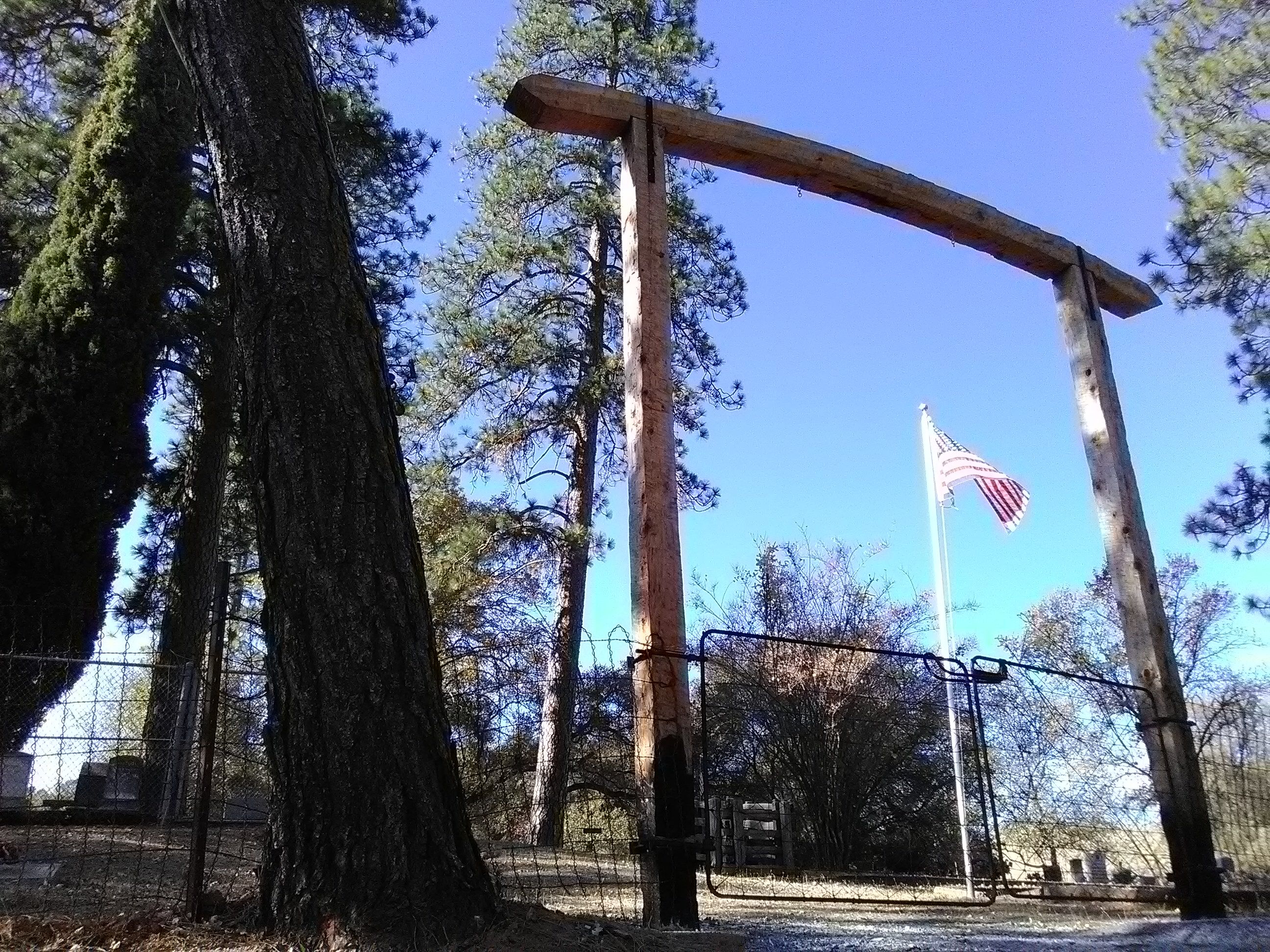
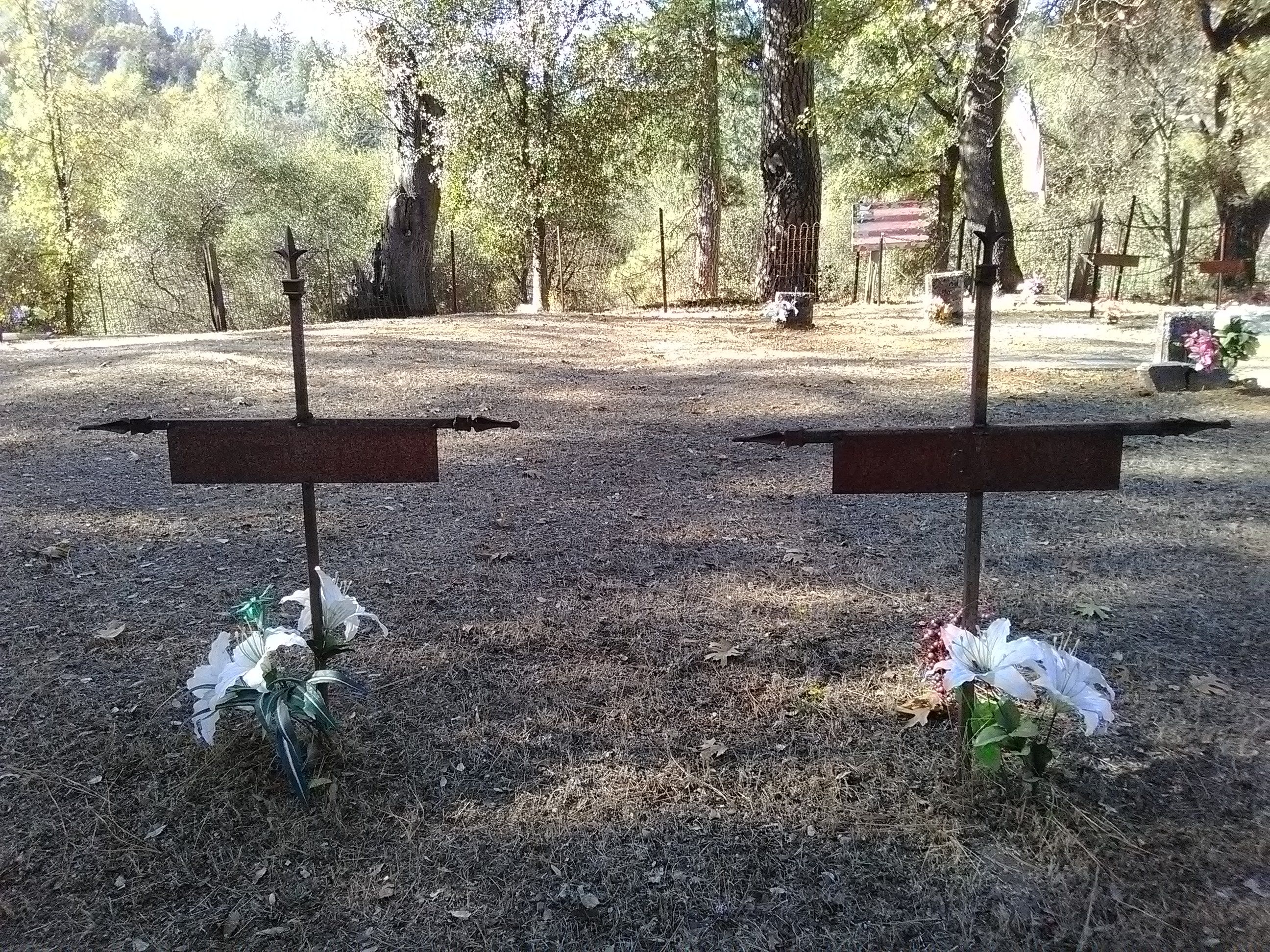
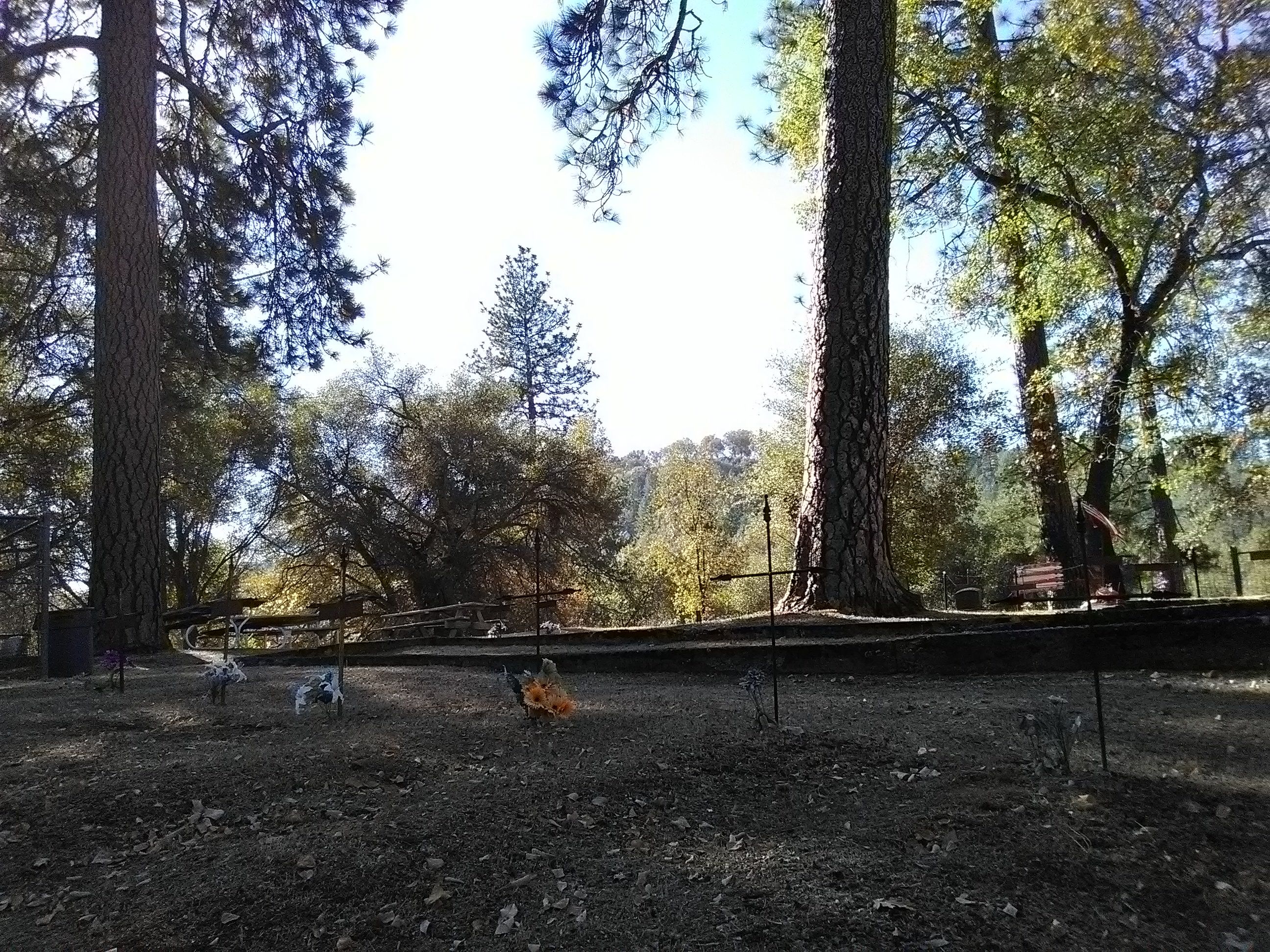
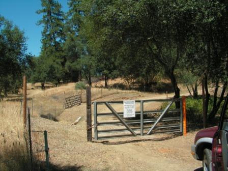
| Description | : | Frenchtown Cemetery is a gold rush era cemetery located on a knoll just west of the old Frenchtown area. First burial was that of L. T. Waters in 1850. Due to a fire that went through the cemetery many years ago, many of the wooden markers were burned and the occupants of the grave are therefore unknown. The cemetery is well maintained by a local cemetery association made up of local residents and pioneer family members. Directions for getting there: French Town Cemetery is located on the north side of French Creek Rd., just west of Old... Read More |
frequently asked questions (FAQ):
-
Where is Frenchtown Cemetery?
Frenchtown Cemetery is located at Frenchtown, El Dorado County ,California ,USA.
-
Frenchtown Cemetery cemetery's updated grave count on graveviews.com?
21 memorials
-
Where are the coordinates of the Frenchtown Cemetery?
Latitude: 38.6421585
Longitude: -120.9132309
Nearby Cemetories:
1. Shingle Springs Cemetery
Shingle Springs, El Dorado County, USA
Coordinate: 38.6648903, -120.9270325
2. Heusner Ranch Family Cemetery
Buckeye, El Dorado County, USA
Coordinate: 38.6675770, -120.9135260
3. Planters House Cemetery
Shingle Springs, El Dorado County, USA
Coordinate: 38.6645820, -120.9321300
4. Meyer-Zentgraf Cemetery
Shingle Springs, El Dorado County, USA
Coordinate: 38.6710620, -120.9158490
5. Greenstone Cemetery
Shingle Springs, El Dorado County, USA
Coordinate: 38.6749020, -120.8869240
6. Duroc House Cemetery
Shingle Springs, El Dorado County, USA
Coordinate: 38.6528860, -120.9701690
7. Schenck Ranch Cemetery
Frenchtown, El Dorado County, USA
Coordinate: 38.5961120, -120.9281020
8. El Dorado Cemetery
El Dorado, El Dorado County, USA
Coordinate: 38.6804085, -120.8490067
9. Fanny Creek Cemetery
El Dorado County, USA
Coordinate: 38.5837700, -120.8816900
10. Chinese Cemetery
Placerville, El Dorado County, USA
Coordinate: 38.5836700, -120.8817100
11. Bryant Cemetery
Latrobe, El Dorado County, USA
Coordinate: 38.5830383, -120.9679184
12. Kingsville Cemetery
El Dorado, El Dorado County, USA
Coordinate: 38.6993870, -120.8516060
13. Rose Springs Cemetery
Rescue, El Dorado County, USA
Coordinate: 38.7146150, -120.9398390
14. Litten-McDonald Cemetery
Rescue, El Dorado County, USA
Coordinate: 38.7078750, -120.9628310
15. Skinner Ranch Cemetery
Cameron Park, El Dorado County, USA
Coordinate: 38.6981812, -120.9972763
16. Saint Michaels Catholic Cemetery
Cameron Park, El Dorado County, USA
Coordinate: 38.6995010, -120.9985886
17. Carpenter Family Residence Burial Plot
Diamond Springs, El Dorado County, USA
Coordinate: 38.6941590, -120.8187750
18. Diamond Springs Cemetery
Diamond Springs, El Dorado County, USA
Coordinate: 38.6940960, -120.8186620
19. Missouri Flat Cemetery
Placerville, El Dorado County, USA
Coordinate: 38.7157360, -120.8403400
20. Green Valley Cemetery
Rescue, El Dorado County, USA
Coordinate: 38.6993790, -121.0081406
21. Odd Fellows Cemetery
Diamond Springs, El Dorado County, USA
Coordinate: 38.6963882, -120.8151932
22. Jayhawk Cemetery
Rescue, El Dorado County, USA
Coordinate: 38.7308006, -120.9627991
23. Morrison Ranch Family Cemetery
Clarksville, El Dorado County, USA
Coordinate: 38.6552887, -121.0368500
24. Latrobe Cemetery
Latrobe, El Dorado County, USA
Coordinate: 38.5613518, -120.9903412