
| Memorials | : | 7 |
| Location | : | Diamond Springs, El Dorado County, USA |
| Website | : | www.edcgov.us/Government/Cemetery/Pages/diamond_springs.aspx |
| Coordinate | : | 38.6940960, -120.8186620 |
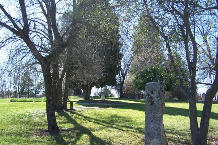
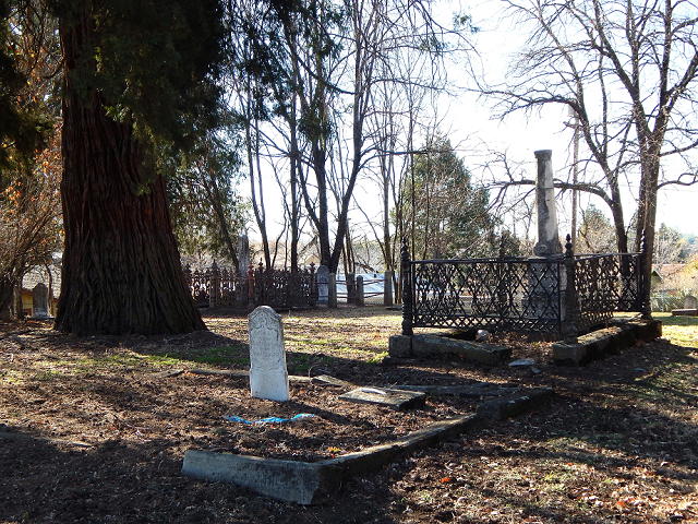
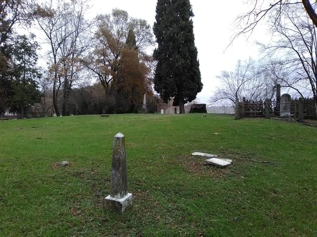
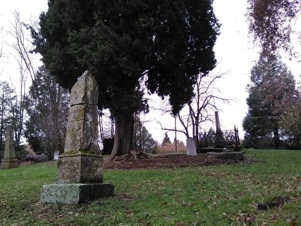
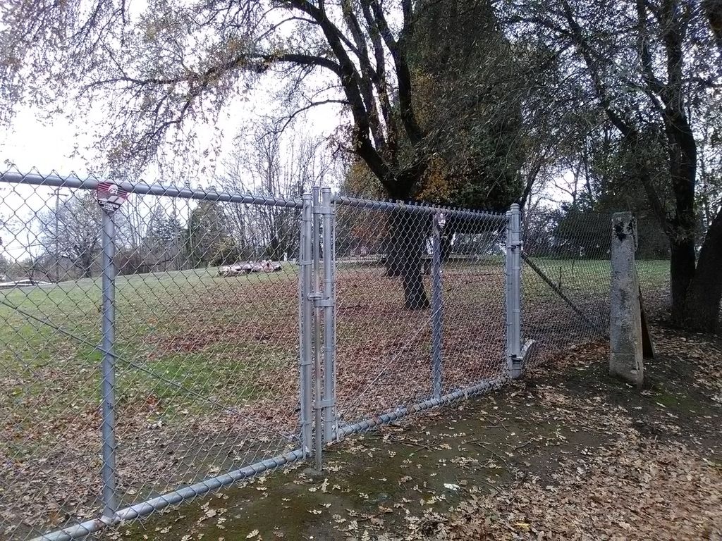
| Description | : | The Diamond Springs Cemetery, aka Diamond Springs Public Cemetery, is located in the center of town in Diamond Springs on Highway 49. The 2/3 of an acre parcel sits on the side of a hill with the main gate on Highway 49. The oldest existing headstone is Maryett Jackson who died in 1850 at the age of 2 years, 7 months, and 22 days. The people buried here died from the hard times; accidents, childbirth, and infant diseases. The cemetery is still in use today. |
frequently asked questions (FAQ):
-
Where is Diamond Springs Cemetery?
Diamond Springs Cemetery is located at 481 Pleasant Valley Road Diamond Springs, El Dorado County ,California ,USA.
-
Diamond Springs Cemetery cemetery's updated grave count on graveviews.com?
7 memorials
-
Where are the coordinates of the Diamond Springs Cemetery?
Latitude: 38.6940960
Longitude: -120.8186620


Nearby Cemetories:
1. Carpenter Family Residence Burial Plot
Diamond Springs, El Dorado County, USA
Coordinate: 38.6941590, -120.8187750
2. Odd Fellows Cemetery
Diamond Springs, El Dorado County, USA
Coordinate: 38.6963882, -120.8151932
3. Weberville Cemetery
Placerville, El Dorado County, USA
Coordinate: 38.7024170, -120.7901000
4. Kingsville Cemetery
El Dorado, El Dorado County, USA
Coordinate: 38.6993870, -120.8516060
5. El Dorado Cemetery
El Dorado, El Dorado County, USA
Coordinate: 38.6804085, -120.8490067
6. Missouri Flat Cemetery
Placerville, El Dorado County, USA
Coordinate: 38.7157360, -120.8403400
7. Old Saint Patricks Cemetery
Placerville, El Dorado County, USA
Coordinate: 38.7249107, -120.8024673
8. Old Placerville City Cemetery
Placerville, El Dorado County, USA
Coordinate: 38.7258987, -120.8059464
9. Jewish Pioneer Cemetery
Placerville, El Dorado County, USA
Coordinate: 38.7299500, -120.8091965
10. Boles Family Cemetery
Placerville, El Dorado County, USA
Coordinate: 38.7309860, -120.8069580
11. Placerville Union Cemetery
Placerville, El Dorado County, USA
Coordinate: 38.7317390, -120.8084106
12. Methodist Episcopal Federated Cemetery
Placerville, El Dorado County, USA
Coordinate: 38.7283287, -120.7942200
13. Saint Patrick Cemetery
Placerville, El Dorado County, USA
Coordinate: 38.7327995, -120.8047638
14. County Hospital Cemetery
Placerville, El Dorado County, USA
Coordinate: 38.7342796, -120.8028488
15. Middletown Cemetery
Placerville, El Dorado County, USA
Coordinate: 38.7358704, -120.8301010
16. Westwood Hills Memorial Park Pet Cemetery
Placerville, El Dorado County, USA
Coordinate: 38.7365210, -120.8323130
17. Westwood Hills Memorial Park
Placerville, El Dorado County, USA
Coordinate: 38.7367363, -120.8326035
18. Uppertown Cemetery
Placerville, El Dorado County, USA
Coordinate: 38.7320900, -120.7890625
19. Greenstone Cemetery
Shingle Springs, El Dorado County, USA
Coordinate: 38.6749020, -120.8869240
20. Oak Hill Cemetery
Placerville, El Dorado County, USA
Coordinate: 38.6768990, -120.7481003
21. Smiths Flat Cemetery
Placerville, El Dorado County, USA
Coordinate: 38.7325287, -120.7552414
22. Cold Springs Cemetery
Cold Springs, El Dorado County, USA
Coordinate: 38.7441444, -120.8721619
23. Jacquier Family Cemetery
Placerville, El Dorado County, USA
Coordinate: 38.7424420, -120.7602750
24. Chili Bar Toll House Cemetery
Placerville, El Dorado County, USA
Coordinate: 38.7700530, -120.8177660