| Memorials | : | 6 |
| Location | : | Latrobe, El Dorado County, USA |
| Coordinate | : | 38.5830383, -120.9679184 |
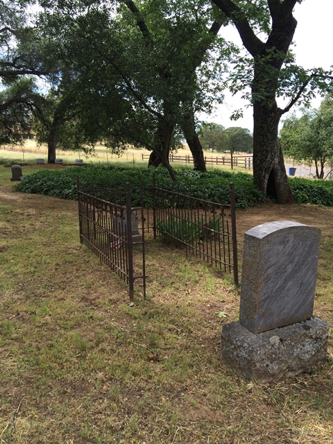
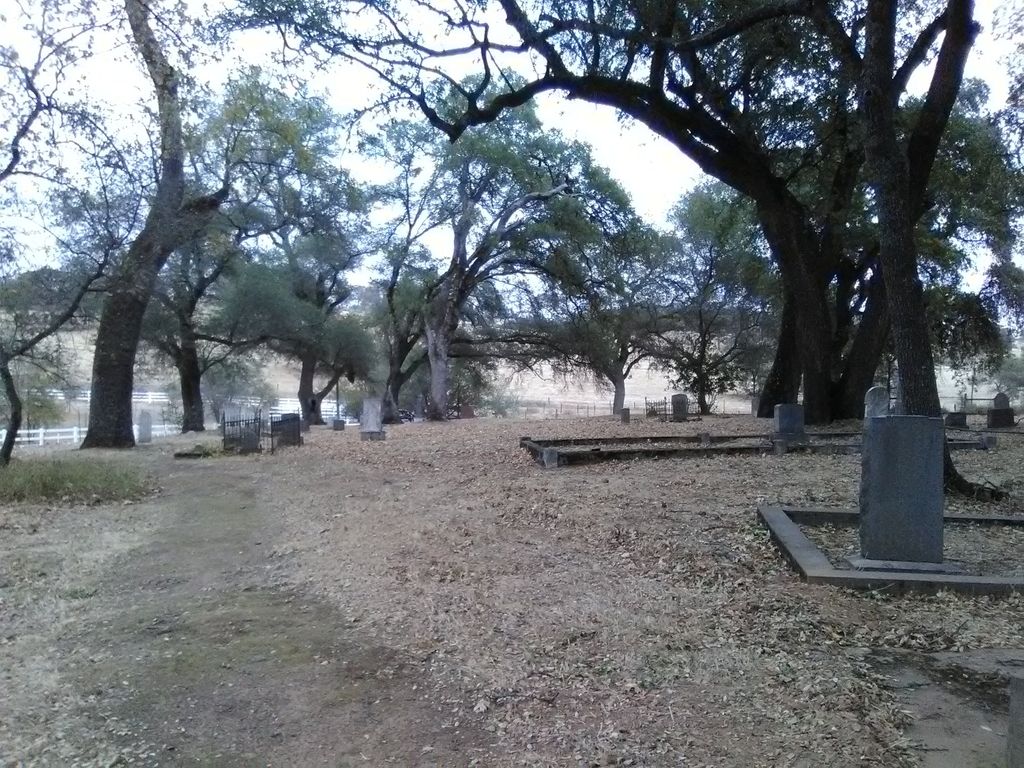
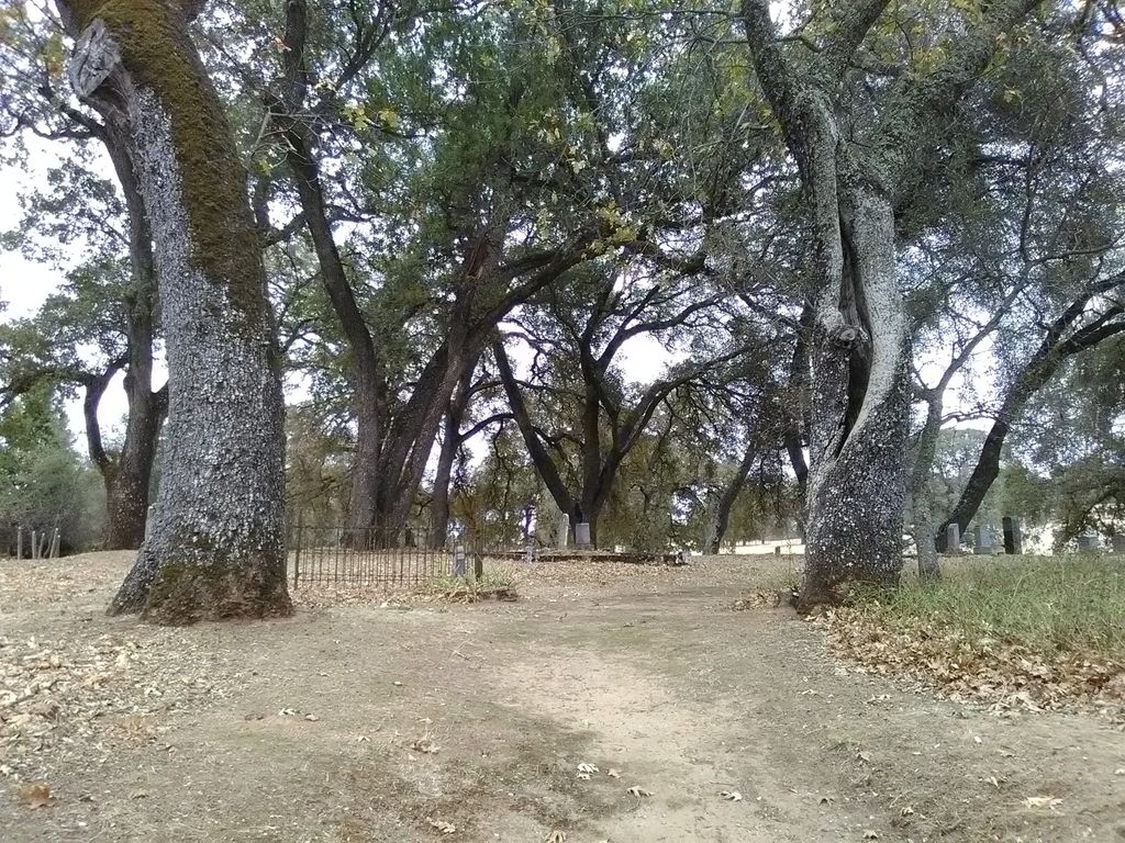
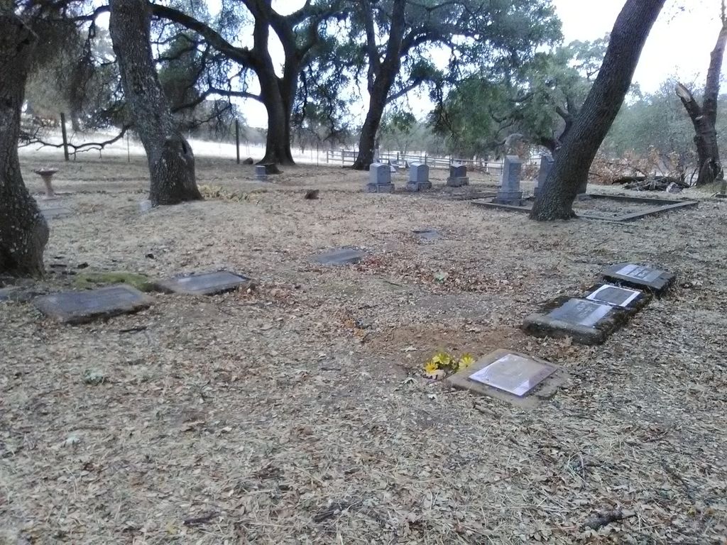
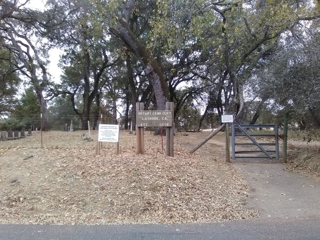
| Description | : | History: Bryant Cemetery was established in 1848 and is still in use today. It is located between Shingle Springs and Latrobe. Directions for Getting There: Take Hwy 50 to Shingle Springs. Take the Ponderosa Rd. off-ramp and head south, this is South Shingle Road. Go south about 7 miles until you come to Heffren Drive on your right. Take Heffren Drive for about a block and the cemetery will be on your left. |
frequently asked questions (FAQ):
-
Where is Bryant Cemetery?
Bryant Cemetery is located at Latrobe, El Dorado County ,California ,USA.
-
Bryant Cemetery cemetery's updated grave count on graveviews.com?
5 memorials
-
Where are the coordinates of the Bryant Cemetery?
Latitude: 38.5830383
Longitude: -120.9679184
Nearby Cemetories:
1. Latrobe Cemetery
Latrobe, El Dorado County, USA
Coordinate: 38.5613518, -120.9903412
2. Schenck Ranch Cemetery
Frenchtown, El Dorado County, USA
Coordinate: 38.5961120, -120.9281020
3. Chinese Cemetery
Placerville, El Dorado County, USA
Coordinate: 38.5836700, -120.8817100
4. Fanny Creek Cemetery
El Dorado County, USA
Coordinate: 38.5837700, -120.8816900
5. Duroc House Cemetery
Shingle Springs, El Dorado County, USA
Coordinate: 38.6528860, -120.9701690
6. Frenchtown Cemetery
Frenchtown, El Dorado County, USA
Coordinate: 38.6421585, -120.9132309
7. Planters House Cemetery
Shingle Springs, El Dorado County, USA
Coordinate: 38.6645820, -120.9321300
8. Shingle Springs Cemetery
Shingle Springs, El Dorado County, USA
Coordinate: 38.6648903, -120.9270325
9. Morrison Ranch Family Cemetery
Clarksville, El Dorado County, USA
Coordinate: 38.6552887, -121.0368500
10. Heusner Ranch Family Cemetery
Buckeye, El Dorado County, USA
Coordinate: 38.6675770, -120.9135260
11. Meyer-Zentgraf Cemetery
Shingle Springs, El Dorado County, USA
Coordinate: 38.6710620, -120.9158490
12. Railroad House Cemetery
Clarksville, El Dorado County, USA
Coordinate: 38.6575699, -121.0516129
13. Clarksville Cemetery
Clarksville, El Dorado County, USA
Coordinate: 38.6546707, -121.0615387
14. White Family Cemetery
Plymouth, Amador County, USA
Coordinate: 38.4915200, -120.9002200
15. Moriah Heights Cemetery
Plymouth, Amador County, USA
Coordinate: 38.4797300, -121.0111300
16. Greenstone Cemetery
Shingle Springs, El Dorado County, USA
Coordinate: 38.6749020, -120.8869240
17. Skinner Ranch Cemetery
Cameron Park, El Dorado County, USA
Coordinate: 38.6981812, -120.9972763
18. Fay-Perry Cemetery
Rancho Murieta, Sacramento County, USA
Coordinate: 38.4995330, -121.0737910
19. Saint Michaels Catholic Cemetery
Cameron Park, El Dorado County, USA
Coordinate: 38.6995010, -120.9985886
20. Live Oak Cemetery
Sacramento County, USA
Coordinate: 38.4780998, -121.0408020
21. Green Valley Cemetery
Rescue, El Dorado County, USA
Coordinate: 38.6993790, -121.0081406
22. Rust Family Gravesite
Cameron Park, El Dorado County, USA
Coordinate: 38.6980160, -121.0207130
23. Litten-McDonald Cemetery
Rescue, El Dorado County, USA
Coordinate: 38.7078750, -120.9628310
24. Michigan Bar Cemetery
Rancho Murieta, Sacramento County, USA
Coordinate: 38.4850006, -121.0783005


