
| Memorials | : | 99 |
| Location | : | Freshford, Bath and North East Somerset Unitary Authority, England |
| Website | : | www.freshford.org.uk/parish-council/services/freshford-cemetery/ |
| Coordinate | : | 51.3379620, -2.3082970 |
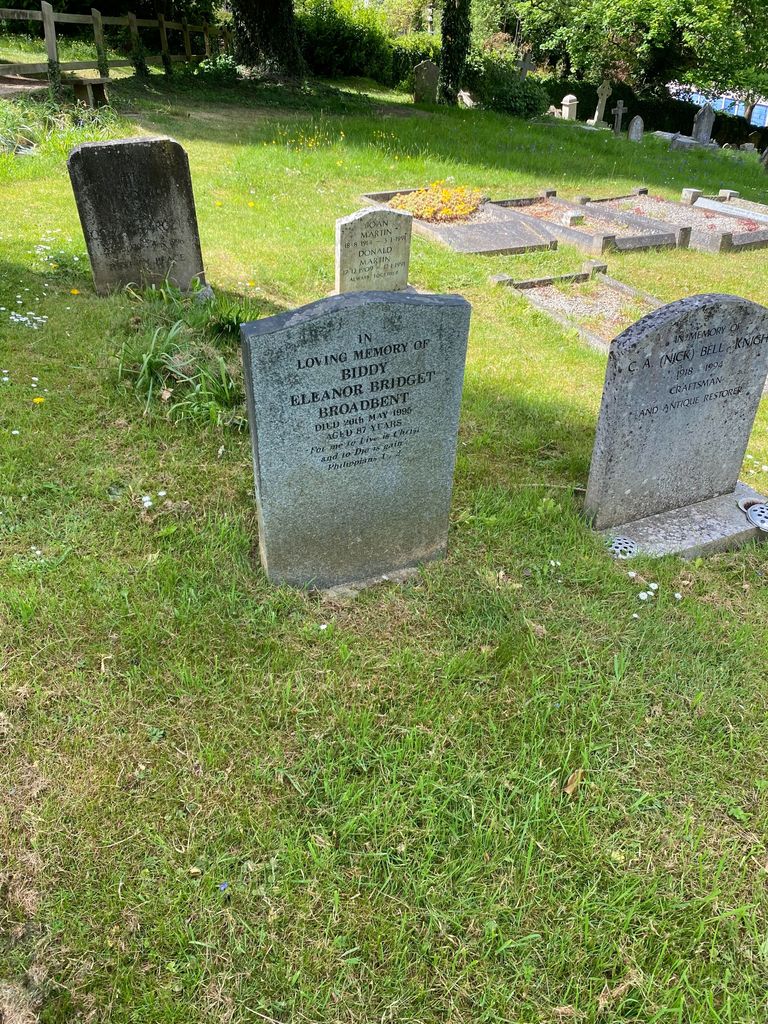
| Description | : | In addition to the graveyard at St Peter’s church, there is also a separate cemetery which is administered by Freshford Parish Council. The cemetery is an roughly rectangular plot (60m x 45m) between the The Tyning and Freshford Lane about 200m west of High Street. The land slopes down from the south to the north. There are two gates on the southern side and a gate in Freshford Lane. The area is divided into consecrated and unconsecrated sections with, along the southern fence, a line of cremation plaques. Outside the southeastern gate is the village's war memorial. (https://www.batharchives.co.uk/cemeteries/freshford) |
frequently asked questions (FAQ):
-
Where is Freshford Cemetery?
Freshford Cemetery is located at Freshford, Bath and North East Somerset Unitary Authority ,Somerset ,England.
-
Freshford Cemetery cemetery's updated grave count on graveviews.com?
98 memorials
-
Where are the coordinates of the Freshford Cemetery?
Latitude: 51.3379620
Longitude: -2.3082970
Nearby Cemetories:
1. Saint Peters Churchyard
Freshford, Bath and North East Somerset Unitary Authority, England
Coordinate: 51.3400570, -2.3033340
2. St. John the Baptist Churchyard
Hinton Charterhouse, Bath and North East Somerset Unitary Authority, England
Coordinate: 51.3233330, -2.3219440
3. Midford Burial Ground
Bath, Bath and North East Somerset Unitary Authority, England
Coordinate: 51.3394360, -2.3391424
4. St. Michael's Churchyard
Monkton Combe, Bath and North East Somerset Unitary Authority, England
Coordinate: 51.3559540, -2.3285700
5. Farleigh Hungerford Castle
Farleigh Hungerford, Mendip District, England
Coordinate: 51.3173500, -2.2869590
6. St Leonard Churchyard
Farleigh Hungerford, Mendip District, England
Coordinate: 51.3155390, -2.2884820
7. Union Chapel
Combe Down, Bath and North East Somerset Unitary Authority, England
Coordinate: 51.3594751, -2.3443662
8. Prior Park College
Bath, Bath and North East Somerset Unitary Authority, England
Coordinate: 51.3645990, -2.3442400
9. Holy Trinity Churchyard
Bradford-on-Avon, Wiltshire Unitary Authority, England
Coordinate: 51.3465927, -2.2538147
10. Jewish Burial Ground
Combe Down, Bath and North East Somerset Unitary Authority, England
Coordinate: 51.3599170, -2.3534670
11. St. James' Churchyard
South Stoke, Bath and North East Somerset Unitary Authority, England
Coordinate: 51.3497220, -2.3652780
12. St. Mary's Churchyard
Claverton, Bath and North East Somerset Unitary Authority, England
Coordinate: 51.3757560, -2.3061500
13. Claverton Cemetery
Bath, Bath and North East Somerset Unitary Authority, England
Coordinate: 51.3758190, -2.3060720
14. Christ Church Churchyard
Bradford-on-Avon, Wiltshire Unitary Authority, England
Coordinate: 51.3507000, -2.2493360
15. Norton St. Philip Churchyard
Norton St Philip, Mendip District, England
Coordinate: 51.3001680, -2.3279700
16. All Saints Churchyard
Tellisford, Mendip District, England
Coordinate: 51.2997270, -2.2877180
17. St John the Evangelist Cemetery
Bath, Bath and North East Somerset Unitary Authority, England
Coordinate: 51.3696700, -2.3487400
18. Bath Abbey Cemetery
Widcombe, Bath and North East Somerset Unitary Authority, England
Coordinate: 51.3712850, -2.3483060
19. St Julian's Churchyard
Wellow, Bath and North East Somerset Unitary Authority, England
Coordinate: 51.3240160, -2.3717630
20. St Thomas à Becket's Church
Widcombe, Bath and North East Somerset Unitary Authority, England
Coordinate: 51.3734250, -2.3465560
21. St. Mary The Virgin Churchyard
Bathwick, Bath and North East Somerset Unitary Authority, England
Coordinate: 51.3759930, -2.3411930
22. Unitarian Chapel Burial Ground
Widcombe, Bath and North East Somerset Unitary Authority, England
Coordinate: 51.3704650, -2.3539270
23. Smallcombe Vale Cemetery
Bathwick, Bath and North East Somerset Unitary Authority, England
Coordinate: 51.3757400, -2.3429400
24. Bath Union Workhouse Graveyard
Bath, Bath and North East Somerset Unitary Authority, England
Coordinate: 51.3584160, -2.3711140