
| Memorials | : | 75 |
| Location | : | Wellow, Bath and North East Somerset Unitary Authority, England |
| Coordinate | : | 51.3240160, -2.3717630 |
frequently asked questions (FAQ):
-
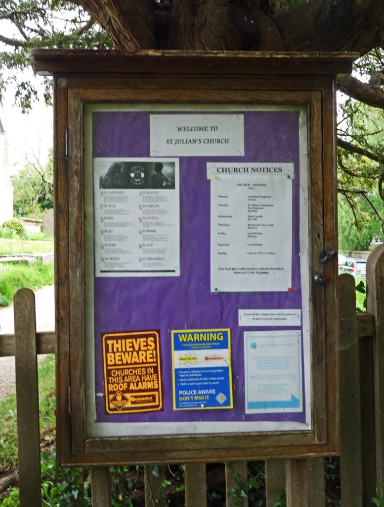
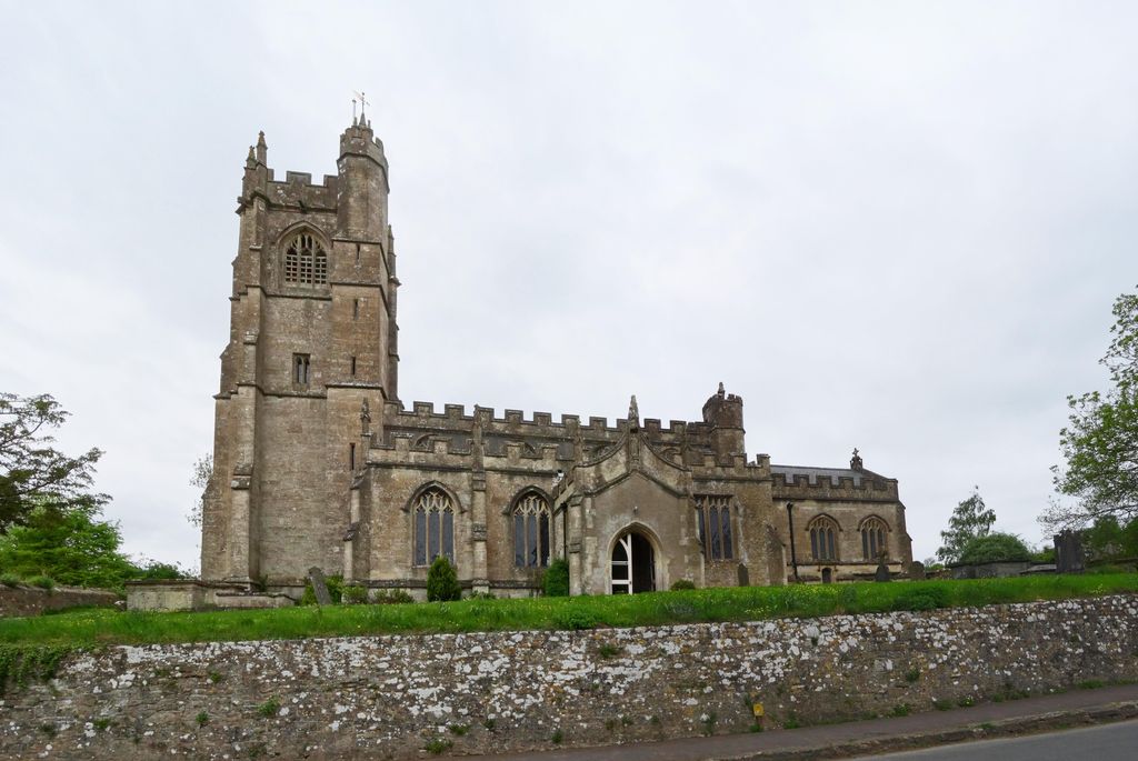
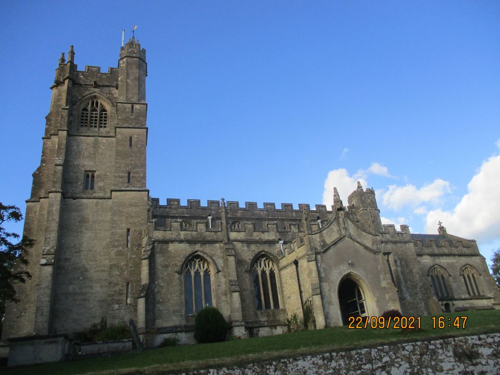
Where is St Julian's Churchyard?
St Julian's Churchyard is located at Wellow, Bath and North East Somerset Unitary Authority ,Somerset ,England.
-
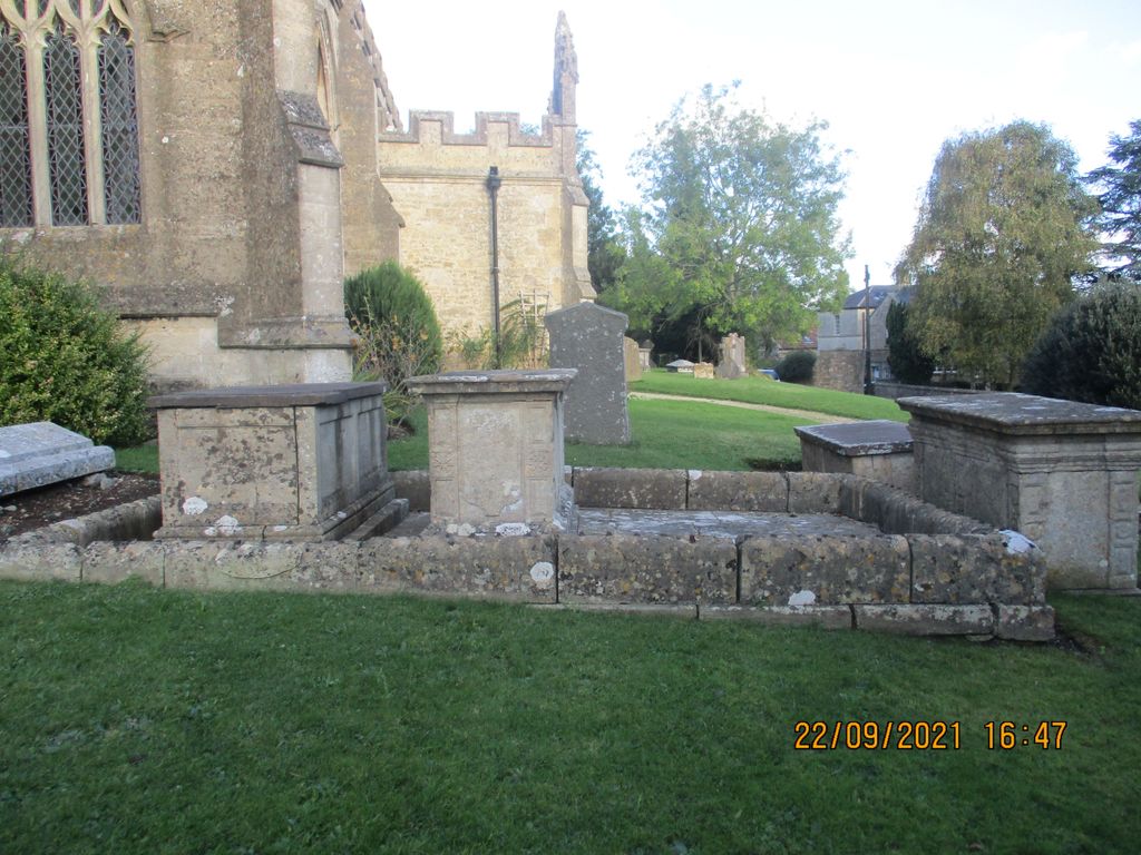
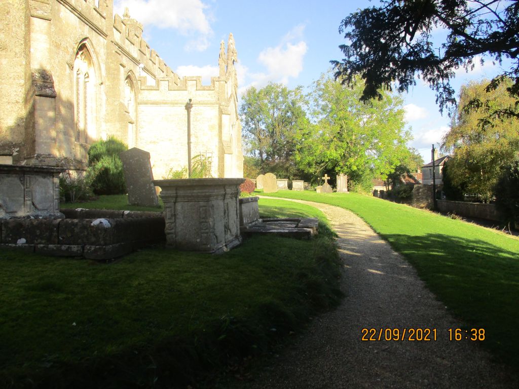
St Julian's Churchyard cemetery's updated grave count on graveviews.com?
70 memorials
-
Where are the coordinates of the St Julian's Churchyard?
Latitude: 51.3240160
Longitude: -2.3717630
Nearby Cemetories:
1. Combe Hay Parish Churchyard
Combe Hay, Bath and North East Somerset Unitary Authority, England
Coordinate: 51.3371120, -2.3817390
2. Wellow & Shoscombe Cemetery
Wellow, Bath and North East Somerset Unitary Authority, England
Coordinate: 51.3165527, -2.3916632
3. Combe Hay Cemetery
Combe Hay, Bath and North East Somerset Unitary Authority, England
Coordinate: 51.3397819, -2.3814323
4. Midford Burial Ground
Bath, Bath and North East Somerset Unitary Authority, England
Coordinate: 51.3394360, -2.3391424
5. St. James' Churchyard
South Stoke, Bath and North East Somerset Unitary Authority, England
Coordinate: 51.3497220, -2.3652780
6. Ashgrove Cemetery
Peasedown St John, Bath and North East Somerset Unitary Authority, England
Coordinate: 51.3181600, -2.4150760
7. All Saints Church
Dunkerton, Bath and North East Somerset Unitary Authority, England
Coordinate: 51.3320390, -2.4158600
8. St. John the Baptist Churchyard
Hinton Charterhouse, Bath and North East Somerset Unitary Authority, England
Coordinate: 51.3233330, -2.3219440
9. Bath Union Workhouse Burial Ground
Bath, Bath and North East Somerset Unitary Authority, England
Coordinate: 51.3570889, -2.3773370
10. Bath Union Workhouse Graveyard
Bath, Bath and North East Somerset Unitary Authority, England
Coordinate: 51.3584160, -2.3711140
11. Foxcote St James' The Less Churchyard
Shoscombe, Bath and North East Somerset Unitary Authority, England
Coordinate: 51.2985762, -2.4092987
12. St. James the Less Churchyard
Foxcote, Mendip District, England
Coordinate: 51.2985540, -2.4093370
13. Withyditch Baptist Chapel
Bath, Bath and North East Somerset Unitary Authority, England
Coordinate: 51.3328833, -2.4273859
14. Norton St. Philip Churchyard
Norton St Philip, Mendip District, England
Coordinate: 51.3001680, -2.3279700
15. Jewish Burial Ground
Combe Down, Bath and North East Somerset Unitary Authority, England
Coordinate: 51.3599170, -2.3534670
16. St. John the Baptist Churchyard
Peasedown St John, Bath and North East Somerset Unitary Authority, England
Coordinate: 51.3164630, -2.4327370
17. Union Chapel
Combe Down, Bath and North East Somerset Unitary Authority, England
Coordinate: 51.3594751, -2.3443662
18. St. Michael's Churchyard
Monkton Combe, Bath and North East Somerset Unitary Authority, England
Coordinate: 51.3559540, -2.3285700
19. Freshford Cemetery
Freshford, Bath and North East Somerset Unitary Authority, England
Coordinate: 51.3379620, -2.3082970
20. Prior Park College
Bath, Bath and North East Somerset Unitary Authority, England
Coordinate: 51.3645990, -2.3442400
21. St. Mary Magdalene Churchyard
Writhlington, Bath and North East Somerset Unitary Authority, England
Coordinate: 51.2938240, -2.4262230
22. Saint Peters Churchyard
Freshford, Bath and North East Somerset Unitary Authority, England
Coordinate: 51.3400570, -2.3033340
23. St Peter Churchyard
Englishcombe, Bath and North East Somerset Unitary Authority, England
Coordinate: 51.3640600, -2.4088700
24. Saint Luke & Saint Andrew
Priston, Bath and North East Somerset Unitary Authority, England
Coordinate: 51.3419170, -2.4421910