
| Memorials | : | 0 |
| Location | : | Blankenfelde, Pankow, Germany |
| Coordinate | : | 52.6188084, 13.3898162 |
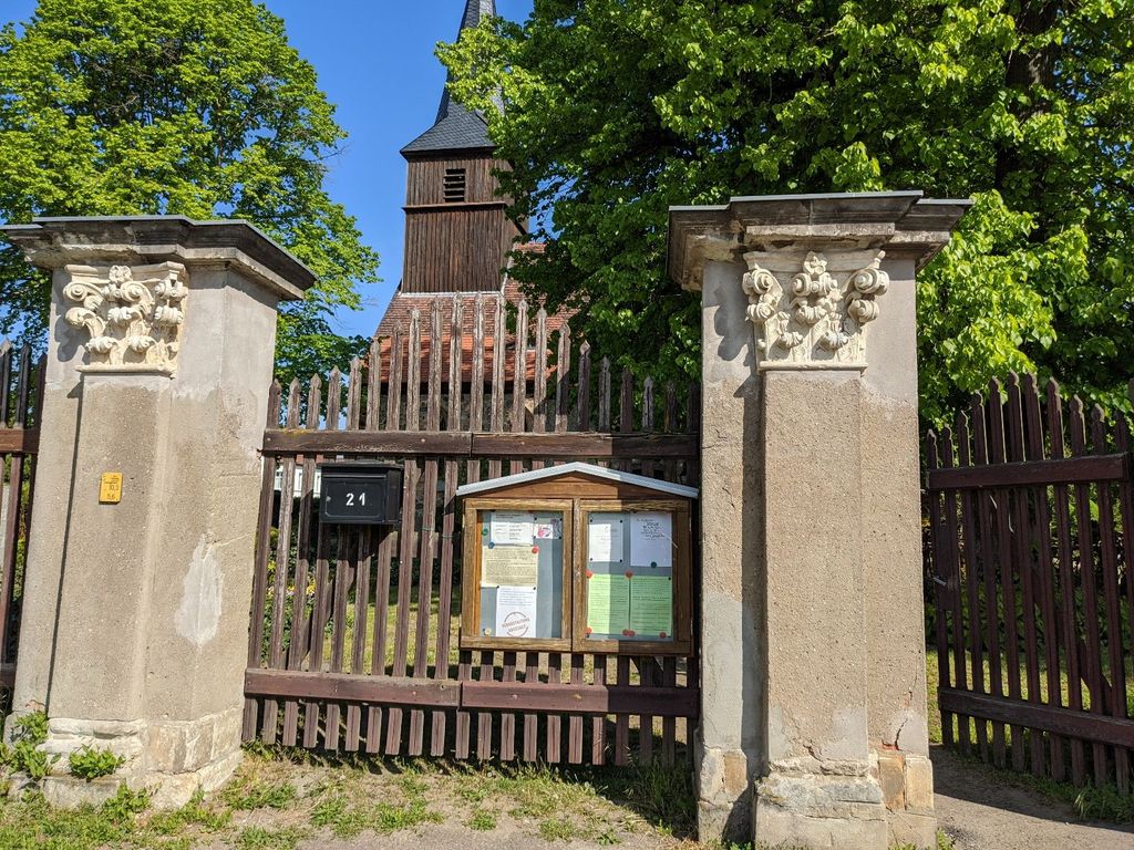
| Description | : | This Lutheran cemetery and its medieval church date back to the 14th century. The village of Blankenfelde became part of Berlin in 1920. Underneath the old field stone church (Dorfkirche Blankenfelde) used to be a crypt, but that is now empty and used for storage. Please note that the graves in Germany are not perpetual. After a certain period of repose (20-30 years) the graves are being leveled and re-used. There is no toxic embalming being done in Germany, so the coffin and the corpse can decompose naturally. If the family of the deceased decides to purchase another period the duration... Read More |
frequently asked questions (FAQ):
-
Where is Friedhof Blankenfelde?
Friedhof Blankenfelde is located at Hauptstrasse 21 Blankenfelde, Pankow ,Berlin , 13159Germany.
-
Friedhof Blankenfelde cemetery's updated grave count on graveviews.com?
0 memorials
-
Where are the coordinates of the Friedhof Blankenfelde?
Latitude: 52.6188084
Longitude: 13.3898162
Nearby Cemetories:
1. Friedhof Pankow VIII
Blankenfelde, Pankow, Germany
Coordinate: 52.6171850, 13.3797330
2. Neuer Friedhof Rosenthal
Rosenthal, Pankow, Germany
Coordinate: 52.6054580, 13.3782160
3. Dorfkirchhof Alt-Lübars
Lubars, Reinickendorf, Germany
Coordinate: 52.6207230, 13.3573860
4. Dorfkirchhof Rosenthal
Rosenthal, Pankow, Germany
Coordinate: 52.5995010, 13.3780000
5. Friedhof Lübars
Lubars, Reinickendorf, Germany
Coordinate: 52.6153220, 13.3490750
6. Friedhof Nordend Bereich Frieden-Himmelfahrt
Pankow, Pankow, Germany
Coordinate: 52.5951090, 13.4041340
7. Friedhof Pankow IX
Franzosisch Buchholz, Pankow, Germany
Coordinate: 52.6086030, 13.4286500
8. Friedhof Nordend Bereich Gethsemane
Pankow, Pankow, Germany
Coordinate: 52.5934820, 13.4035420
9. Friedhof Pankow VII
Rosenthal, Pankow, Germany
Coordinate: 52.5941315, 13.3658123
10. Friedhof Pankow IV
Niederschonhausen, Pankow, Germany
Coordinate: 52.5835540, 13.4089620
11. Sowjetisches Ehrenmal Schönholzer Heide
Pankow, Germany
Coordinate: 52.5811581, 13.3733418
12. Friedhof Pankow V
Niederschonhausen, Pankow, Germany
Coordinate: 52.5777140, 13.3790730
13. Friedhof
Glienicke, Landkreis Oberhavel, Germany
Coordinate: 52.6300022, 13.3205898
14. Friedhof Pankow VI
Pankow, Pankow, Germany
Coordinate: 52.5746100, 13.3861380
15. Friedhof Pankow III
Niederschonhausen, Pankow, Germany
Coordinate: 52.5718994, 13.3874998
16. Dorfkirchhof Alt-Wittenau
Wittenau, Reinickendorf, Germany
Coordinate: 52.5922430, 13.3254560
17. Kriegsgräberstätte Reinickendorf
Reinickendorf, Reinickendorf, Germany
Coordinate: 52.5769726, 13.3512016
18. Friedhof Blankenburg
Blankenburg, Pankow, Germany
Coordinate: 52.5950360, 13.4592690
19. Dorfkirchhof Alt-Reinickendorf
Reinickendorf, Reinickendorf, Germany
Coordinate: 52.5750910, 13.3519580
20. Dorfkirchhof Pankow
Pankow, Pankow, Germany
Coordinate: 52.5708050, 13.4090580
21. Friedhof Pankow I
Pankow, Pankow, Germany
Coordinate: 52.5695390, 13.3979470
22. Friedhof Wittenau
Wittenau, Reinickendorf, Germany
Coordinate: 52.5907960, 13.3222960
23. Dorfkirchhof Heinersdorf
Pankow, Germany
Coordinate: 52.5748210, 13.4377322
24. Friedhof Hermsdorf I
Hermsdorf, Reinickendorf, Germany
Coordinate: 52.6108017, 13.3031292