
| Memorials | : | 0 |
| Location | : | Conweiler, Enzkreis, Germany |
| Website | : | www.straubenhardt.de/gemeindeleben/friedhoefe |
| Coordinate | : | 48.8458540, 8.5352830 |
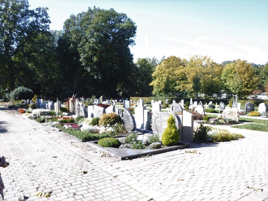
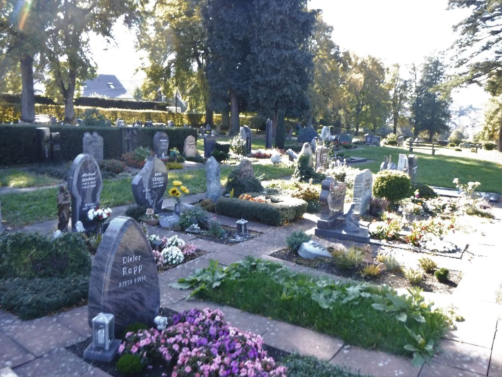
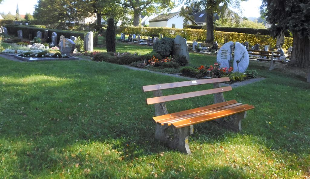
| Description | : | Friedhof des Ortsteils Conweiler der Gemeinde Straubenhardt. Fläche ca. 1,1 Hektar. Cemetery of the district Conweiler in the commune Straubenhardt. Area about 1.1 hectares. |
frequently asked questions (FAQ):
-
Where is Friedhof Conweiler?
Friedhof Conweiler is located at Hardtstraße 2, Straubenhardt Conweiler, Enzkreis ,Baden-Württemberg , 75334Germany.
-
Friedhof Conweiler cemetery's updated grave count on graveviews.com?
0 memorials
-
Where are the coordinates of the Friedhof Conweiler?
Latitude: 48.8458540
Longitude: 8.5352830
Nearby Cemetories:
1. Friedhof Schwann
Schwann, Enzkreis, Germany
Coordinate: 48.8484200, 8.5414000
2. Friedhof Feldrennach
Feldrennach, Enzkreis, Germany
Coordinate: 48.8553730, 8.5350730
3. Friedhof Pfinzweiler
Pfinzweiler, Enzkreis, Germany
Coordinate: 48.8559408, 8.5143178
4. Friedhof Ittersbach
Ittersbach, Landkreis Karlsruhe, Germany
Coordinate: 48.8639000, 8.5075000
5. Friedhof Langenalb
Langenalb, Enzkreis, Germany
Coordinate: 48.8431200, 8.4921100
6. Friedhof Ottenhausen
Ottenhausen, Enzkreis, Germany
Coordinate: 48.8752600, 8.5395600
7. Alter Friedhof Neuenbürg
Neuenbürg, Enzkreis, Germany
Coordinate: 48.8469897, 8.5900378
8. Friedhof Gräfenhausen
Gräfenhausen, Enzkreis, Germany
Coordinate: 48.8707150, 8.5796140
9. Friedhof Neuenbürg
Neuenbürg, Enzkreis, Germany
Coordinate: 48.8372000, 8.5960000
10. Friedhof Neusatz
Neusatz, Landkreis Calw, Germany
Coordinate: 48.8180165, 8.4760068
11. Friedhof Höfen an der Enz
Höfen an der Enz, Landkreis Calw, Germany
Coordinate: 48.8063229, 8.5854749
12. Friedhof Rotensol
Rotensol, Landkreis Calw, Germany
Coordinate: 48.8157209, 8.4661288
13. Friedhof Schielberg
Schielberg, Landkreis Karlsruhe, Germany
Coordinate: 48.8485703, 8.4488692
14. Waldfriedhof Dobel
Dobel, Landkreis Calw, Germany
Coordinate: 48.7941324, 8.4836293
15. Kloster Frauenalb
Frauenalb, Landkreis Karlsruhe, Germany
Coordinate: 48.8340000, 8.4410000
16. Friedhof Ellmendingen
Ellmendingen, Enzkreis, Germany
Coordinate: 48.9061000, 8.5722000
17. Friedhof Spielberg
Spielberg, Landkreis Karlsruhe, Germany
Coordinate: 48.8971000, 8.4736000
18. Friedhof Dietlingen
Dietlingen, Enzkreis, Germany
Coordinate: 48.8952600, 8.6051400
19. Waldfriedhof Birkenfeld
Birkenfeld, Enzkreis, Germany
Coordinate: 48.8648507, 8.6341041
20. Kriegsopferdenkmal Auerbach
Auerbach, Landkreis Karlsruhe, Germany
Coordinate: 48.9138351, 8.5313172
21. Friedhof Langensteinbach
Langensteinbach, Landkreis Karlsruhe, Germany
Coordinate: 48.9128000, 8.5110000
22. Friedhof Burbach
Burbach, Landkreis Karlsruhe, Germany
Coordinate: 48.8727000, 8.4362000
23. Friedhof Langenbrand
Langenbrand, Landkreis Calw, Germany
Coordinate: 48.8026940, 8.6381830
24. Waldfriedhof Bad Wildbad
Bad Wildbad, Landkreis Calw, Germany
Coordinate: 48.7664456, 8.5561592