
| Memorials | : | 0 |
| Location | : | Bünde, Kreis Herford, Germany |
| Coordinate | : | 52.2073900, 8.5508100 |
| Description | : | The cemeteries of Bünde are: Municipal Cemeteries in the city of Bünde • Stadt und Amtsfriedhof • Feldmarkfriedhof Municipal Cemeteries in the suburbs of Bünde • Friedhof Ahle • Friedhof Bustedt • Friedhof Dünne-Dorf • Friedhof Dünnerholz • Friedhof Ennigloh I (Wollfeldstr.) • Friedhof Ennigloh II (Holtackerweg) • Friedhof Habighorst • Friedhof Holsen • Friedhof Hunnebrock • Friedhof Muckum • Friedhof Spradow • Friedhof Südlengern Please note that the graves in Germany are not perpetual. After a certain period of repose (in Bünde it's 30 years) the graves are being leveled and re-used. There is no toxic embalming being done in Germany so the coffin and the corpse have decomposed naturally. If the family of the deceased... Read More |
frequently asked questions (FAQ):
-
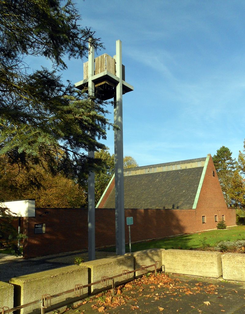
Where is Friedhof Ennigloh II?
Friedhof Ennigloh II is located at Holtackerweg Bünde, Kreis Herford ,Nordrhein-Westfalen , 32257Germany.
-
Friedhof Ennigloh II cemetery's updated grave count on graveviews.com?
0 memorials
-
Where are the coordinates of the Friedhof Ennigloh II?
Latitude: 52.2073900
Longitude: 8.5508100
Nearby Cemetories:
1. Friedhof Ennigloh I
Bünde, Kreis Herford, Germany
Coordinate: 52.2019800, 8.5638800
2. Friedhof Holsen
Bünde, Kreis Herford, Germany
Coordinate: 52.2055600, 8.5247600
3. Friedhof Muckum
Bünde, Kreis Herford, Germany
Coordinate: 52.2235300, 8.5445800
4. Friedhof Ahle
Bünde, Kreis Herford, Germany
Coordinate: 52.1955200, 8.5246100
5. Friedhof Habighorst
Bünde, Kreis Herford, Germany
Coordinate: 52.2276000, 8.5625100
6. Stadt-und Amtsfriedhof
Bünde, Kreis Herford, Germany
Coordinate: 52.1986100, 8.5832000
7. Friedhof Hunnebrock
Bünde, Kreis Herford, Germany
Coordinate: 52.1861500, 8.5741100
8. Friedhof Dünne-Dorf
Bünde, Kreis Herford, Germany
Coordinate: 52.2219400, 8.5886400
9. Feldmarkfriedhof
Bünde, Kreis Herford, Germany
Coordinate: 52.1915100, 8.5971000
10. Friedhof Bieren
Bieren, Kreis Herford, Germany
Coordinate: 52.2365700, 8.5267600
11. Friedhof Spradow
Bünde, Kreis Herford, Germany
Coordinate: 52.2154300, 8.6053400
12. Gestüt Auenquelle
Rödinghausen, Kreis Herford, Germany
Coordinate: 52.2473500, 8.5477800
13. Friedhof Dünnerholz
Bünde, Kreis Herford, Germany
Coordinate: 52.2456400, 8.5733100
14. Friedhof Südlengern
Bünde, Kreis Herford, Germany
Coordinate: 52.1916900, 8.6183800
15. Friedhof Bustedt
Bünde, Kreis Herford, Germany
Coordinate: 52.1719800, 8.5998300
16. Friedhof Westkilver
Westkilver, Kreis Herford, Germany
Coordinate: 52.2212360, 8.4666880
17. Jüdischer Friedhof Enger
Enger, Kreis Herford, Germany
Coordinate: 52.1491200, 8.5540000
18. Friedhof Hiddenhausen
Hiddenhausen, Kreis Herford, Germany
Coordinate: 52.1659960, 8.6189470
19. Friedhof Stift Quernheim
Stift Quernheim, Kreis Herford, Germany
Coordinate: 52.2426200, 8.6305800
20. Stiftskirche
Enger, Kreis Herford, Germany
Coordinate: 52.1394504, 8.5587147
21. Friedhof Herringhausen
Herringhausen, Kreis Herford, Germany
Coordinate: 52.1390021, 8.6089670
22. Friedhof Melle-Riemsloh
Riemsloh, Landkreis Osnabrück, Germany
Coordinate: 52.1795940, 8.4175620
23. Neuer Friedhof Melle-Buer
Buer, Landkreis Osnabrück, Germany
Coordinate: 52.2434254, 8.4094203
24. Friedhof Blasheim
Blasheim, Kreis Minden-Lübbecke, Germany
Coordinate: 52.3031140, 8.5644219