
| Memorials | : | 0 |
| Location | : | Enger, Kreis Herford, Germany |
| Coordinate | : | 52.1491200, 8.5540000 |
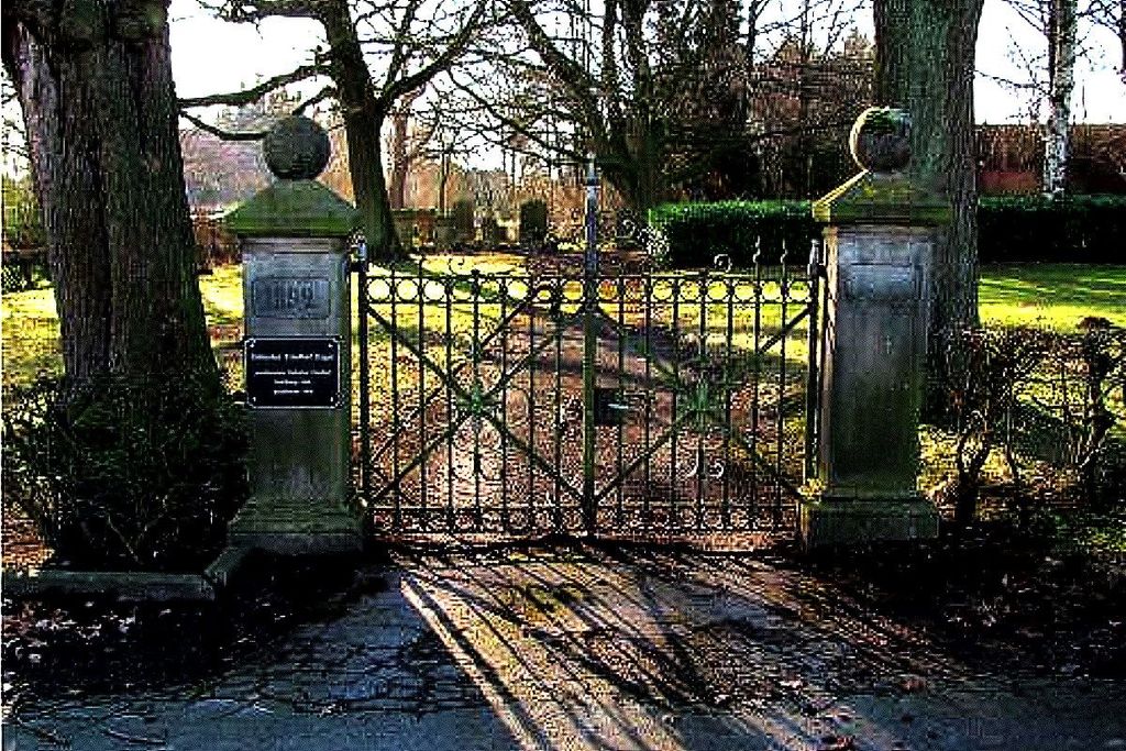
| Description | : | The Jewish cemetery in Enger was established in the mid-1820s. The last burial at the Jewish cemetery in Enger took place in 1938. Today there are still 56 gravestones. |
frequently asked questions (FAQ):
-
Where is Jüdischer Friedhof Enger?
Jüdischer Friedhof Enger is located at Ziegelstraße 23 Enger, Kreis Herford ,Nordrhein-Westfalen , D-32130Germany.
-
Jüdischer Friedhof Enger cemetery's updated grave count on graveviews.com?
0 memorials
-
Where are the coordinates of the Jüdischer Friedhof Enger?
Latitude: 52.1491200
Longitude: 8.5540000
Nearby Cemetories:
1. Stiftskirche
Enger, Kreis Herford, Germany
Coordinate: 52.1394504, 8.5587147
2. Friedhof Herringhausen
Herringhausen, Kreis Herford, Germany
Coordinate: 52.1390021, 8.6089670
3. Friedhof Bustedt
Bünde, Kreis Herford, Germany
Coordinate: 52.1719800, 8.5998300
4. Friedhof Hunnebrock
Bünde, Kreis Herford, Germany
Coordinate: 52.1861500, 8.5741100
5. Friedhof Hiddenhausen
Hiddenhausen, Kreis Herford, Germany
Coordinate: 52.1659960, 8.6189470
6. Friedhof Ahle
Bünde, Kreis Herford, Germany
Coordinate: 52.1955200, 8.5246100
7. Feldmarkfriedhof
Bünde, Kreis Herford, Germany
Coordinate: 52.1915100, 8.5971000
8. Stadt-und Amtsfriedhof
Bünde, Kreis Herford, Germany
Coordinate: 52.1986100, 8.5832000
9. Friedhof Ennigloh I
Bünde, Kreis Herford, Germany
Coordinate: 52.2019800, 8.5638800
10. Friedhof Jöllenbeck
Jöllenbeck, Stadtkreis Bielefeld, Germany
Coordinate: 52.0975166, 8.5240429
11. Friedhof Südlengern
Bünde, Kreis Herford, Germany
Coordinate: 52.1916900, 8.6183800
12. Friedhof Ennigloh II
Bünde, Kreis Herford, Germany
Coordinate: 52.2073900, 8.5508100
13. Friedhof Holsen
Bünde, Kreis Herford, Germany
Coordinate: 52.2055600, 8.5247600
14. Friedhof Spradow
Bünde, Kreis Herford, Germany
Coordinate: 52.2154300, 8.6053400
15. Friedhof Muckum
Bünde, Kreis Herford, Germany
Coordinate: 52.2235300, 8.5445800
16. Friedhof Dünne-Dorf
Bünde, Kreis Herford, Germany
Coordinate: 52.2219400, 8.5886400
17. Friedhof Habighorst
Bünde, Kreis Herford, Germany
Coordinate: 52.2276000, 8.5625100
18. Friedhof Hermannstraße
Herford, Kreis Herford, Germany
Coordinate: 52.1104633, 8.6661312
19. Frauenstift Herford
Herford, Kreis Herford, Germany
Coordinate: 52.1156940, 8.6711110
20. Jüdischer Friedhof Herford
Herford, Kreis Herford, Germany
Coordinate: 52.1105000, 8.6680100
21. Ewiger Frieden
Herford, Kreis Herford, Germany
Coordinate: 52.1364100, 8.6872200
22. Marienfriedhof
Herford, Kreis Herford, Germany
Coordinate: 52.1191278, 8.6819349
23. Friedhof Elverdissen
Elverdissen, Kreis Herford, Germany
Coordinate: 52.0820544, 8.6428304
24. Friedhof an der Marienkirche
Herford, Kreis Herford, Germany
Coordinate: 52.1160000, 8.6871300