| Memorials | : | 0 |
| Location | : | Gossersweiler-Stein, Landkreis Südliche Weinstraße, Germany |
| Coordinate | : | 49.1589200, 7.9275400 |
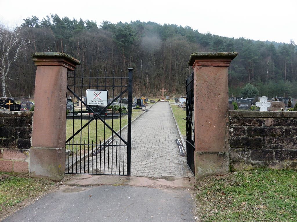
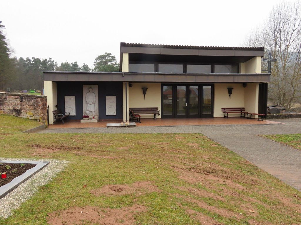
| Description | : | Gossersweiler-Stein ist eine Ortsgemeinde im Landkreis Südliche Weinstraße in Rheinland-Pfalz. Sie gehört der Verbandsgemeinde Annweiler am Trifels an, innerhalb der sie im Jahre 2015 mit 1.402 Einwohnern die drittgrößte Ortsgemeinde bildete. Der Friedhof wurde 2017 von Reiner Peter fotografiert. ----------------------------------------- Gossersweiler-Stein is a municipality in the Südliche Weinstraße administrative district in the German state of Rhineland-Palatinate. The cemetery is, as are all German cemeteries, well maintained and in excellent condition. Photos of gravestones were taken in 2017 by Reiner Peter. The re-use of grave plots in Germany is very common. You or your family rent the plot for a period of 20 to 25 years... Read More |
frequently asked questions (FAQ):
-
Where is Friedhof Gossersweiler?
Friedhof Gossersweiler is located at Alte Landstraße Gossersweiler-Stein, Landkreis Südliche Weinstraße ,Rheinland-Pfalz , 76857Germany.
-
Friedhof Gossersweiler cemetery's updated grave count on graveviews.com?
0 memorials
-
Where are the coordinates of the Friedhof Gossersweiler?
Latitude: 49.1589200
Longitude: 7.9275400
Nearby Cemetories:
1. Friedhof Stein
Gossersweiler-Stein, Landkreis Südliche Weinstraße, Germany
Coordinate: 49.1564600, 7.9338400
2. Friedhof Völkersweiler
Völkersweiler, Landkreis Südliche Weinstraße, Germany
Coordinate: 49.1677600, 7.9336300
3. Friedhof Silz
Silz, Landkreis Südliche Weinstraße, Germany
Coordinate: 49.1460700, 7.9431900
4. Friedhof Dimbach
Dimbach, Landkreis Südwestpfalz, Germany
Coordinate: 49.1676900, 7.8951850
5. Friedhof Münchweiler am Klingbach
Münchweiler am Klingbach, Landkreis Südliche Weinstraße, Germany
Coordinate: 49.1488400, 7.9645800
6. Friedhof Waldrohrbach
Waldrohrbach, Landkreis Südliche Weinstraße, Germany
Coordinate: 49.1676330, 7.9672260
7. Friedhof Darstein
Darstein, Landkreis Südwestpfalz, Germany
Coordinate: 49.1596200, 7.8823000
8. Friedhof Lug
Lug, Landkreis Südwestpfalz, Germany
Coordinate: 49.1846600, 7.8979300
9. Friedhof Schwanheim
Schwanheim, Landkreis Südwestpfalz, Germany
Coordinate: 49.1655200, 7.8786300
10. Friedhof Wernersberg
Wernersberg, Landkreis Südliche Weinstraße, Germany
Coordinate: 49.1918000, 7.9287280
11. Friedhof Blankenborn
Blankenborn, Landkreis Südliche Weinstraße, Germany
Coordinate: 49.1293300, 7.9564800
12. Naturbegräbnisstätte Trifelsruhe
Annweiler am Trifels, Landkreis Südliche Weinstraße, Germany
Coordinate: 49.1911800, 7.9503300
13. Friedhof Oberschlettenbach
Oberschlettenbach, Landkreis Südliche Weinstraße, Germany
Coordinate: 49.1455900, 7.8753200
14. Friedhof Waldhambach
Waldhambach, Landkreis Südliche Weinstraße, Germany
Coordinate: 49.1658200, 7.9871410
15. Friedhof Vorderweidenthal
Vorderweidenthal, Landkreis Südliche Weinstraße, Germany
Coordinate: 49.1284760, 7.8830630
16. Friedhof Birkenhördt
Birkenhördt, Landkreis Südliche Weinstraße, Germany
Coordinate: 49.1150600, 7.9242400
17. Friedhof Spirkelbach
Spirkelbach, Landkreis Südwestpfalz, Germany
Coordinate: 49.1969950, 7.8886470
18. Friedhof Lauterschwan
Lauterschwan, Landkreis Südwestpfalz, Germany
Coordinate: 49.1142400, 7.9052800
19. Friedhof Annweiler am Trifels
Annweiler am Trifels, Landkreis Südliche Weinstraße, Germany
Coordinate: 49.2049500, 7.9582000
20. Friedhof Hauenstein
Hauenstein, Landkreis Südwestpfalz, Germany
Coordinate: 49.1925800, 7.8573900
21. Friedhof Wilgartswiesen
Wilgartswiesen, Landkreis Südwestpfalz, Germany
Coordinate: 49.2074910, 7.8799790
22. Friedhof Wilgartswiesen
Wilgartswiesen, Landkreis Südwestpfalz, Germany
Coordinate: 49.2074910, 7.8799790
23. Friedhof Böllenborn
Böllenborn, Landkreis Südliche Weinstraße, Germany
Coordinate: 49.0995300, 7.9368800
24. Friedhof Erlenbach bei Dahn
Erlenbach bei Dahn, Landkreis Südwestpfalz, Germany
Coordinate: 49.1146900, 7.8646200


