
| Memorials | : | 0 |
| Location | : | Erlenbach bei Dahn, Landkreis Südwestpfalz, Germany |
| Coordinate | : | 49.1146900, 7.8646200 |
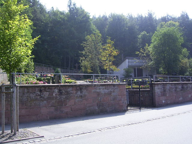
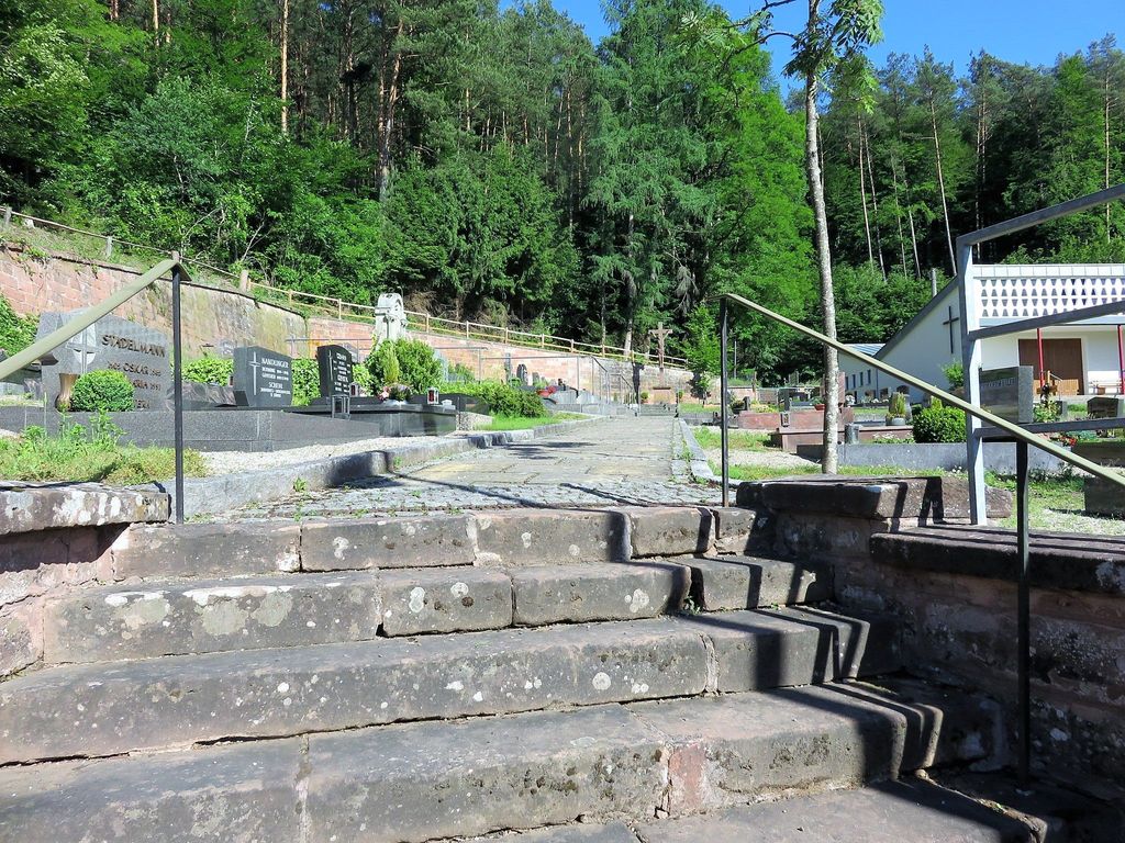
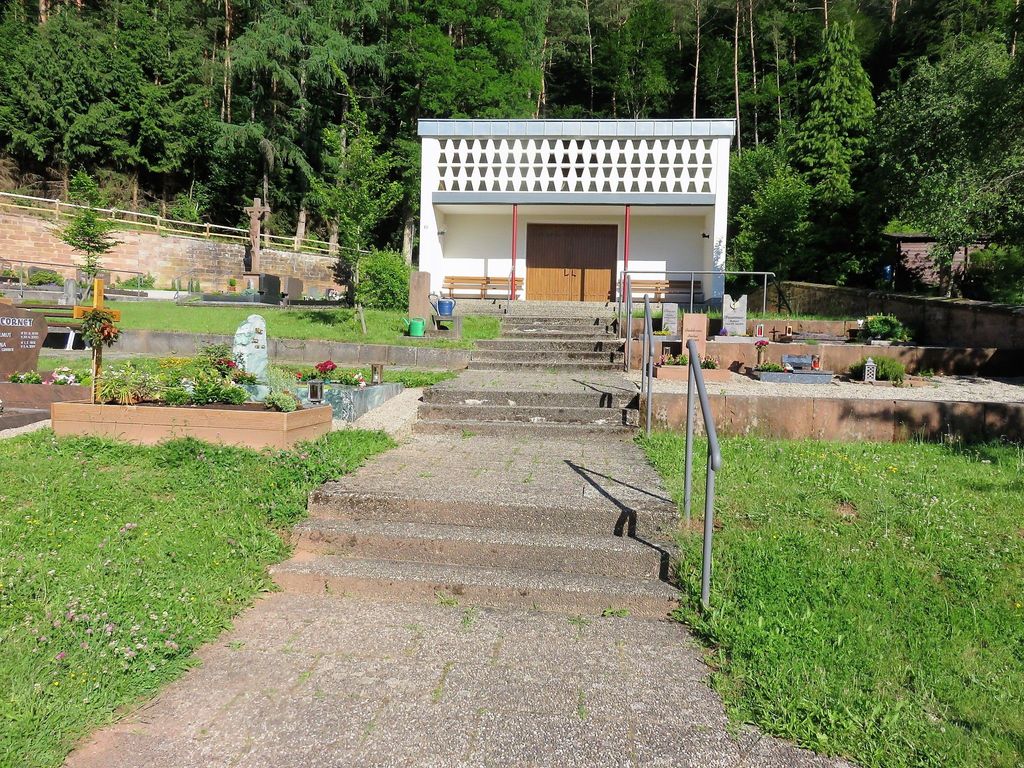
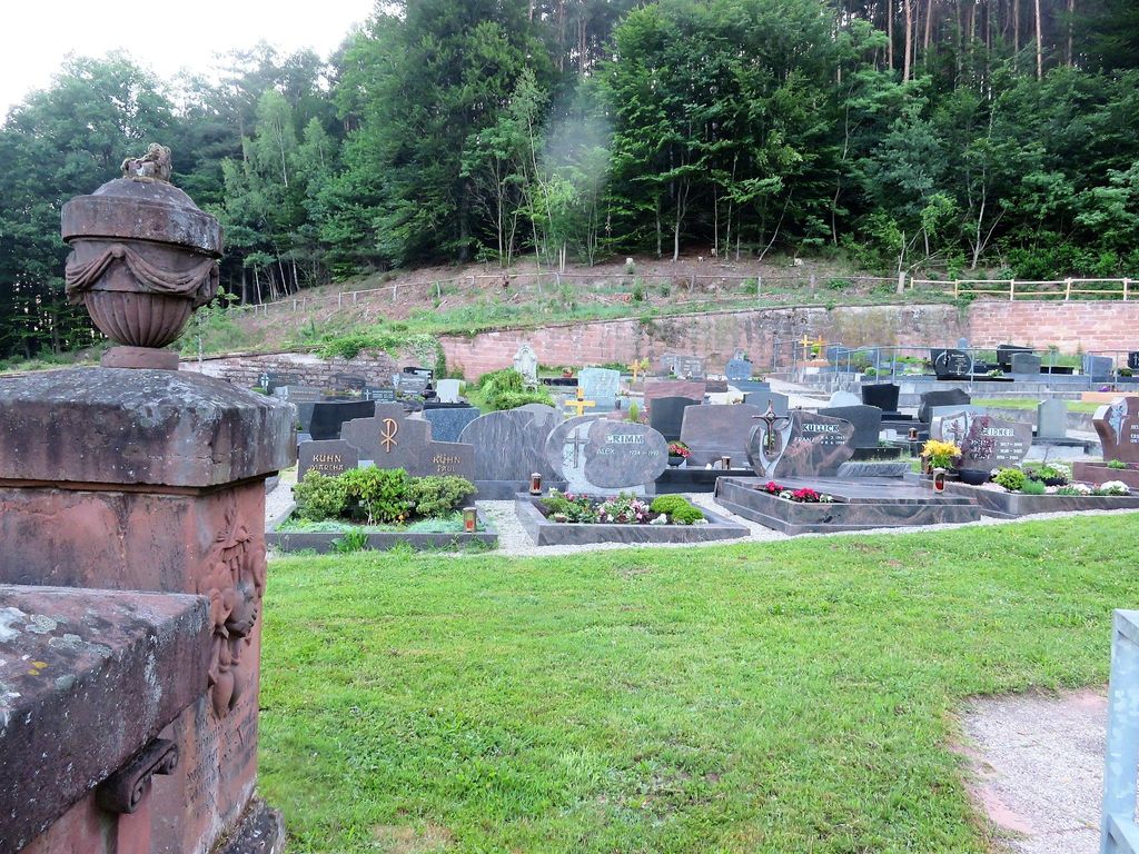
| Description | : | Erlenbach bei Dahn ist eine Ortsgemeinde im Landkreis Südwestpfalz in Rheinland-Pfalz. Sie gehört der Verbandsgemeinde Dahner Felsenland an, die ihren Verwaltungssitz in der Stadt Dahn hat. Erlenbach liegt nordwestlich von Karlsruhe - max. 1 Stunde mit dem Auto. Die größte Stadt in der Nähe von Erlenbach ist Bad Bergzabern. Im Jahre 2015 hatte Erlenbach 322 Einwohner. Die meisten Grabsteine wurden im Jahr 2004 von Andreas Drieß fotografiert. ------------------------------------------- Erlenbach bei Dahn is a municipality in the Südwestpfalz administrative district in the German state of Rhineland-Palatinate. Erlenbach is located northwest of Karlsruhe - max. 1 hour by car. The largest town closest to... Read More |
frequently asked questions (FAQ):
-
Where is Friedhof Erlenbach bei Dahn?
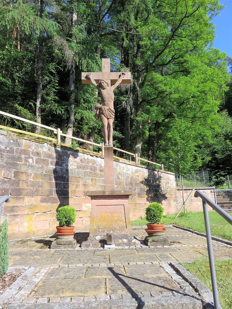
Friedhof Erlenbach bei Dahn is located at Hauptstraße Erlenbach bei Dahn, Landkreis Südwestpfalz ,Rheinland-Pfalz , 76891Germany.
-
Friedhof Erlenbach bei Dahn cemetery's updated grave count on graveviews.com?
0 memorials
-
Where are the coordinates of the Friedhof Erlenbach bei Dahn?
Latitude: 49.1146900
Longitude: 7.8646200
Nearby Cemetories:
1. Friedhof Vorderweidenthal
Vorderweidenthal, Landkreis Südliche Weinstraße, Germany
Coordinate: 49.1284760, 7.8830630
2. Jüdischer Friedhof Busenberg
Busenberg, Landkreis Südwestpfalz, Germany
Coordinate: 49.1262340, 7.8389840
3. Friedhof Lauterschwan
Lauterschwan, Landkreis Südwestpfalz, Germany
Coordinate: 49.1142400, 7.9052800
4. Friedhof Busenberg
Busenberg, Landkreis Südwestpfalz, Germany
Coordinate: 49.1311060, 7.8288170
5. Friedhof Oberschlettenbach
Oberschlettenbach, Landkreis Südliche Weinstraße, Germany
Coordinate: 49.1455900, 7.8753200
6. Friedhof Niederschlettenbach
Niederschlettenbach, Landkreis Südwestpfalz, Germany
Coordinate: 49.0838800, 7.8504800
7. Neuer Friedhof Bruchweiler-Bärenbach
Bruchweiler-Bärenbach, Landkreis Südwestpfalz, Germany
Coordinate: 49.1099200, 7.8122200
8. Friedhof Birkenhördt
Birkenhördt, Landkreis Südliche Weinstraße, Germany
Coordinate: 49.1150600, 7.9242400
9. Alter Friedhof Bruchweiler-Bärenbach
Bruchweiler-Bärenbach, Landkreis Südwestpfalz, Germany
Coordinate: 49.1152000, 7.8025100
10. Friedhof Bundenthal
Bundenthal, Landkreis Südwestpfalz, Germany
Coordinate: 49.0918000, 7.8114500
11. Friedhof Schindhard
Schindhard, Landkreis Südwestpfalz, Germany
Coordinate: 49.1469200, 7.8198700
12. Friedhof Darstein
Darstein, Landkreis Südwestpfalz, Germany
Coordinate: 49.1596200, 7.8823000
13. Friedhof Böllenborn
Böllenborn, Landkreis Südliche Weinstraße, Germany
Coordinate: 49.0995300, 7.9368800
14. Friedhof Bobenthal
Bobenthal, Landkreis Südwestpfalz, Germany
Coordinate: 49.0643900, 7.8576300
15. Friedhof Schwanheim
Schwanheim, Landkreis Südwestpfalz, Germany
Coordinate: 49.1655200, 7.8786300
16. Friedhof Rumbach
Rumbach, Landkreis Südwestpfalz, Germany
Coordinate: 49.0961000, 7.7835600
17. Friedhof Erfweiler
Erfweiler, Landkreis Südwestpfalz, Germany
Coordinate: 49.1575300, 7.8085500
18. Friedhof Dimbach
Dimbach, Landkreis Südwestpfalz, Germany
Coordinate: 49.1676900, 7.8951850
19. Ehrenfriedhof Dahn
Dahn, Landkreis Südwestpfalz, Germany
Coordinate: 49.1458330, 7.7869440
20. Friedhof Nothweiler
Nothweiler, Landkreis Südwestpfalz, Germany
Coordinate: 49.0702600, 7.8026500
21. Friedhof Silz
Silz, Landkreis Südliche Weinstraße, Germany
Coordinate: 49.1460700, 7.9431900
22. Friedhof Gossersweiler
Gossersweiler-Stein, Landkreis Südliche Weinstraße, Germany
Coordinate: 49.1589200, 7.9275400
23. Friedhof Stein
Gossersweiler-Stein, Landkreis Südliche Weinstraße, Germany
Coordinate: 49.1564600, 7.9338400
24. Friedhof Blankenborn
Blankenborn, Landkreis Südliche Weinstraße, Germany
Coordinate: 49.1293300, 7.9564800