
| Memorials | : | 0 |
| Location | : | Saal an der Donau, Landkreis Kelheim, Germany |
| Coordinate | : | 48.9008500, 11.9396400 |
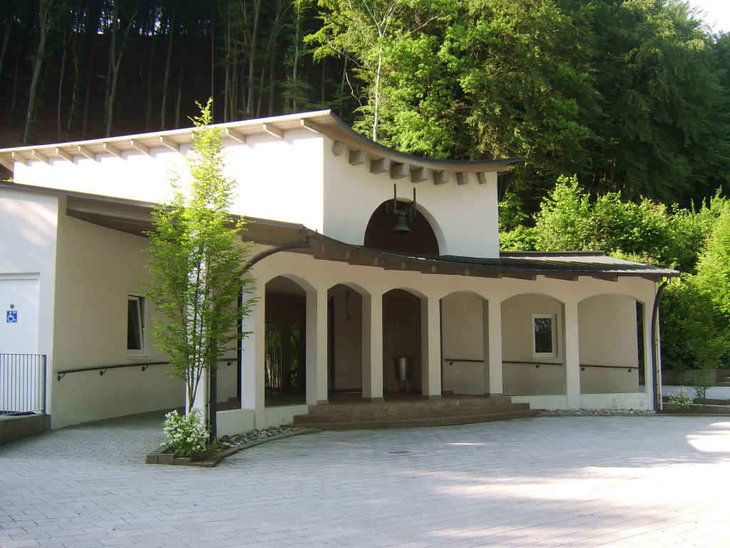
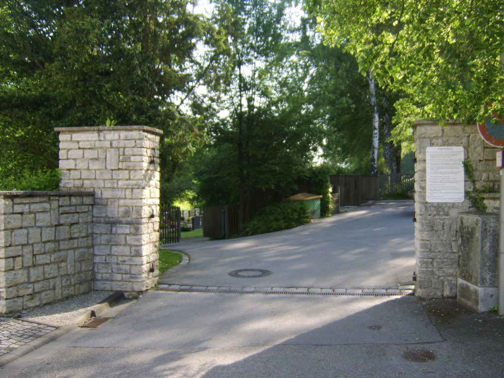
| Description | : | Saal is a municipality in the district of Kelheim, Bavaria. It lies along the Danube River about 25 km SW of Regensburg. During WWII, a subcamp of Flossenbürg concentration camp was located on the outskirts of the town. At peak times, more than 600 men were imprisoned there and after the war, 20 bodies and the ashes of approximately 360 people were found. There is a monument within the cemetery as a memorial to these victims. |
frequently asked questions (FAQ):
-
Where is Friedhof Saal Donau?
Friedhof Saal Donau is located at Friedhofstrasse Saal an der Donau, Landkreis Kelheim ,Bavaria (Bayern) , 93342Germany.
-
Friedhof Saal Donau cemetery's updated grave count on graveviews.com?
0 memorials
-
Where are the coordinates of the Friedhof Saal Donau?
Latitude: 48.9008500
Longitude: 11.9396400
Nearby Cemetories:
1. Friedhof Kelheimwinzer
Kelheimwinzer, Landkreis Kelheim, Germany
Coordinate: 48.9138000, 11.9085700
2. Friedhof Kapfelberg
Kapfelberg, Landkreis Kelheim, Germany
Coordinate: 48.9313645, 11.9841941
3. Alter Friedhof Kelheim
Kelheim, Landkreis Kelheim, Germany
Coordinate: 48.9200000, 11.8801800
4. Waldfriedhof Kelheim
Kelheim, Landkreis Kelheim, Germany
Coordinate: 48.9106500, 11.8587500
5. Friedhof Bergmatting
Bergmatting, Landkreis Regensburg, Germany
Coordinate: 48.9692808, 11.9813400
6. Friedhof Holzharlanden
Holzharlanden, Landkreis Kelheim, Germany
Coordinate: 48.8651500, 11.8368400
7. Kloster Weltenburg
Weltenburg, Landkreis Kelheim, Germany
Coordinate: 48.8989360, 11.8203130
8. Friedhof Viehhausen
Viehhausen, Landkreis Regensburg, Germany
Coordinate: 48.9799884, 11.9625860
9. Friedhof Abbach
Bad Abbach, Landkreis Kelheim, Germany
Coordinate: 48.9350284, 12.0521349
10. Friedhof Sandharlanden
Sandharlanden, Landkreis Kelheim, Germany
Coordinate: 48.8367800, 11.8244900
11. Friedhof Offenstetten
Abensberg, Landkreis Kelheim, Germany
Coordinate: 48.8033630, 11.9098060
12. St. Sebastian Kirche
Sandharlanden, Landkreis Kelheim, Germany
Coordinate: 48.8389500, 11.8208200
13. Kirchlicher Friedhof Eilsbrunn
Eilsbrunn, Landkreis Regensburg, Germany
Coordinate: 49.0044463, 11.9752872
14. Friedhof Abendsberg
Schwaighausen, Landkreis Regensburg, Germany
Coordinate: 48.8180238, 11.8380722
15. Friedhof Abensberg
Abensberg, Landkreis Kelheim, Germany
Coordinate: 48.8177900, 11.8382200
16. Friedhof Sinzing
Sinzing, Landkreis Regensburg, Germany
Coordinate: 48.9929001, 12.0343558
17. Kloster Biburg
Biburg, Landkreis Kelheim, Germany
Coordinate: 48.7921690, 11.8566110
18. Friedhof Nittendorf
Nittendorf, Landkreis Regensburg, Germany
Coordinate: 49.0252320, 11.9604270
19. Friedhof Ziegetsdorf
Regensburg, Stadtkreis Regensburg, Germany
Coordinate: 48.9924150, 12.0712360
20. Oberer Katholischer Friedhof Regensburg
Regensburg, Stadtkreis Regensburg, Germany
Coordinate: 49.0069900, 12.0950900
21. Cemetery of Saint Lazarus (Defunct)
Regensburg, Stadtkreis Regensburg, Germany
Coordinate: 49.0187710, 12.0792830
22. Evangelischer Zentralfriedhof
Regensburg, Stadtkreis Regensburg, Germany
Coordinate: 49.0098000, 12.0958800
23. Regensburg Evangelischer Zentralfriedhof
Regensburg, Stadtkreis Regensburg, Germany
Coordinate: 49.0098700, 12.0958200
24. Maria-Schutz Kirche
Regensburg, Stadtkreis Regensburg, Germany
Coordinate: 49.0190090, 12.0803710