
| Memorials | : | 0 |
| Location | : | Sylt, Kreis Nordfriesland, Germany |
| Coordinate | : | 54.9408940, 8.3279060 |
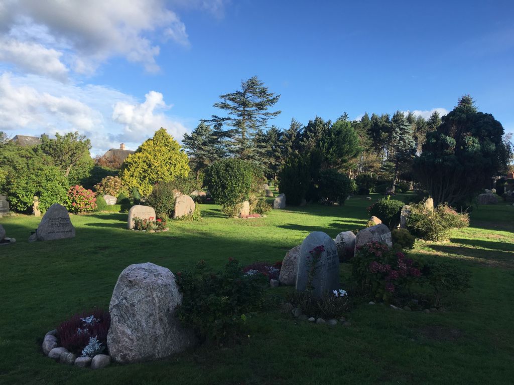
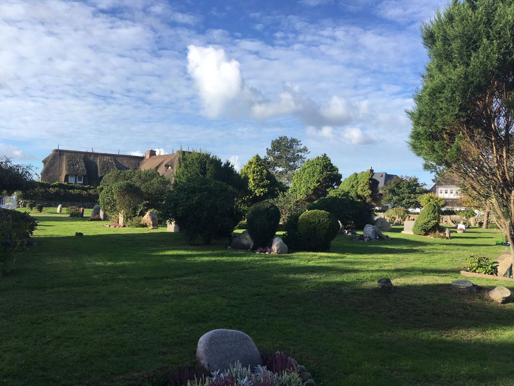
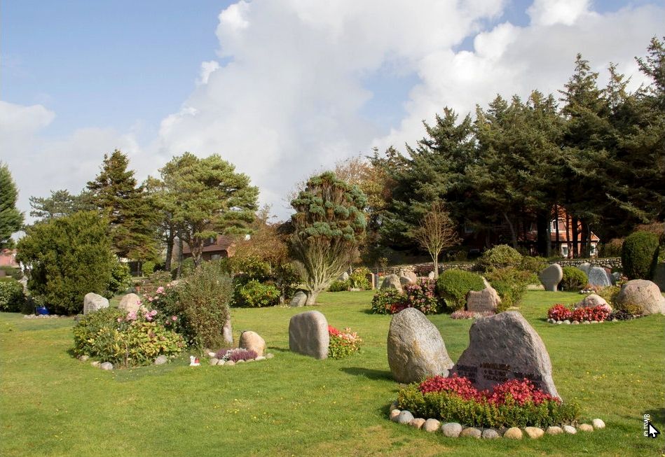
| Description | : | This is the communal cemetery of the village of Wenningstedt on the German island of Sylt. It is also known as the Friedhof an der Friesenkapelle. Please note that the graves in Germany are not perpetual. After a certain period of repose (20-30 years) the graves are being leveled and re-used. There is no toxic embalming being done in Germany, so the coffin and the corpse have decomposed naturally. If the family of the deceased decides to purchase another period the duration can be extended by another 30 years. War Graves are considered memorials and are kept up by the owner... Read More |
frequently asked questions (FAQ):
-
Where is Friedhof Sylt-Wenningstedt?
Friedhof Sylt-Wenningstedt is located at Wenningstedt, Bi Kiar 3 Sylt, Kreis Nordfriesland ,Schleswig-Holstein , 25996Germany.
-
Friedhof Sylt-Wenningstedt cemetery's updated grave count on graveviews.com?
0 memorials
-
Where are the coordinates of the Friedhof Sylt-Wenningstedt?
Latitude: 54.9408940
Longitude: 8.3279060
Nearby Cemetories:
1. Neuer Friedhof Sylt-Westerland
Westerland, Kreis Nordfriesland, Germany
Coordinate: 54.9087487, 8.3218693
2. St. Niels Cemetery
Westerland, Kreis Nordfriesland, Germany
Coordinate: 54.9093197, 8.3136138
3. Friedhof der Heimatlosen
Westerland, Kreis Nordfriesland, Germany
Coordinate: 54.9056500, 8.3006900
4. Friedhof Sankt Severin
Keitum, Kreis Nordfriesland, Germany
Coordinate: 54.9026700, 8.3636300
5. Friedhof Morsum
Morsum, Kreis Nordfriesland, Germany
Coordinate: 54.8677177, 8.4332085
6. Friedhof List
List, Kreis Nordfriesland, Germany
Coordinate: 55.0226600, 8.4176300
7. Kirkeby Churchyard
Romo Kirkeby, Tønder Kommune, Denmark
Coordinate: 55.1129800, 8.5426400
8. Friedhof Rodenäs
Rodenas, Kreis Nordfriesland, Germany
Coordinate: 54.8887661, 8.6998137
9. Friedhof Süderende auf Föhr
Suderende, Kreis Nordfriesland, Germany
Coordinate: 54.7162700, 8.4352300
10. Daler Cemetery
Tønder Kommune, Denmark
Coordinate: 54.9696400, 8.7461500
11. Friedhof Neukirchen
Rodenas, Kreis Nordfriesland, Germany
Coordinate: 54.8660878, 8.7355666
12. Friedhof Nieblum auf Föhr
Nieblum, Kreis Nordfriesland, Germany
Coordinate: 54.6934060, 8.4911330
13. Visby Cemetery
Visby, Tønder Kommune, Denmark
Coordinate: 55.0113000, 8.7763200
14. Møgeltønder Kirkegård
Mogeltonder, Tønder Kommune, Denmark
Coordinate: 54.9406590, 8.8031660
15. Friedhof Wyk auf Föhr
Boldixum, Kreis Nordfriesland, Germany
Coordinate: 54.6954900, 8.5510100
16. Friedhof Aventoft
Aventoft, Kreis Nordfriesland, Germany
Coordinate: 54.9003772, 8.8153899
17. Alter Friedhof Nebel
Nebel, Kreis Nordfriesland, Germany
Coordinate: 54.6529950, 8.3554090
18. Ubjerg kirkegård
Ubjerg, Tønder Kommune, Denmark
Coordinate: 54.9123677, 8.8548693
19. Friedhof Dagebüll
Dagebull, Kreis Nordfriesland, Germany
Coordinate: 54.7304200, 8.7235300
20. Brede Cemetery
Brede, Tønder Kommune, Denmark
Coordinate: 55.0582200, 8.8311000
21. Friedhof Humptrup
Humptrup, Kreis Nordfriesland, Germany
Coordinate: 54.8630646, 8.8652848
22. Friedhof Deezbüll
Deezbüll, Kreis Nordfriesland, Germany
Coordinate: 54.7776616, 8.8147038
23. Parkfriedhof Niebüll
Niebüll, Kreis Nordfriesland, Germany
Coordinate: 54.7904535, 8.8387020
24. Skærbæk Kirkegård
Skærbæk, Tønder Kommune, Denmark
Coordinate: 55.1597726, 8.7653944