
| Memorials | : | 0 |
| Location | : | Teltow, Landkreis Potsdam-Mittelmark, Germany |
| Phone | : | 03328 / 33 56 66 |
| Website | : | kirche-teltow.ekbo.de |
| Coordinate | : | 52.4008256, 13.2568985 |
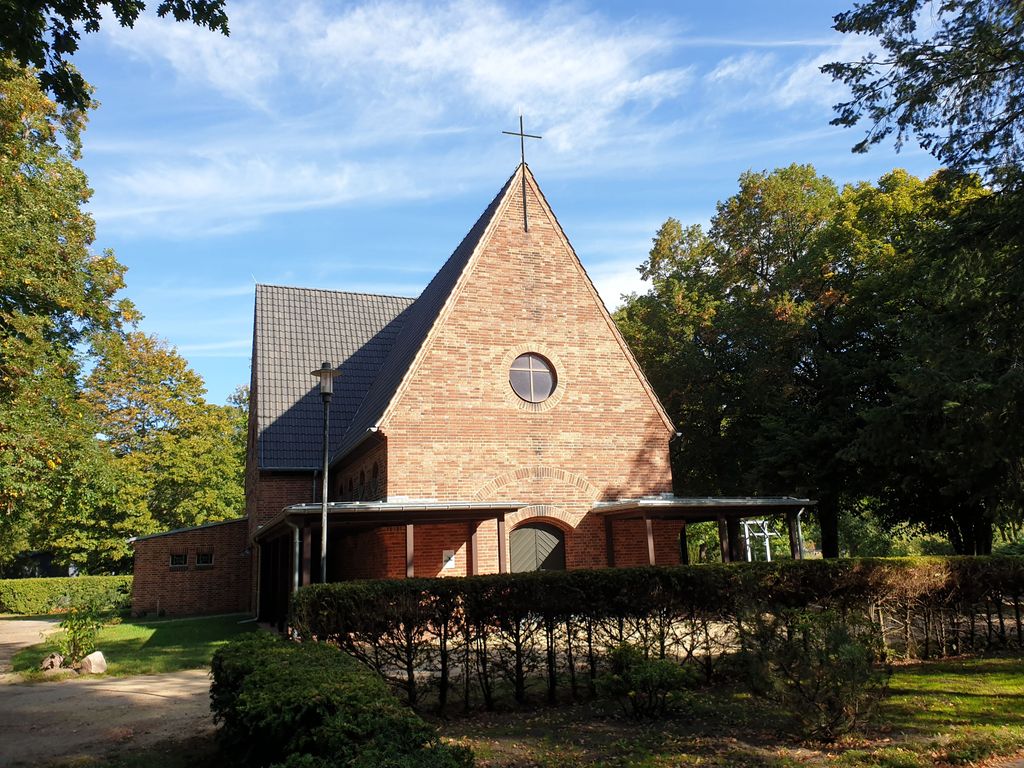
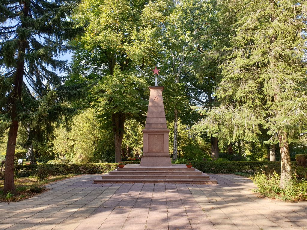
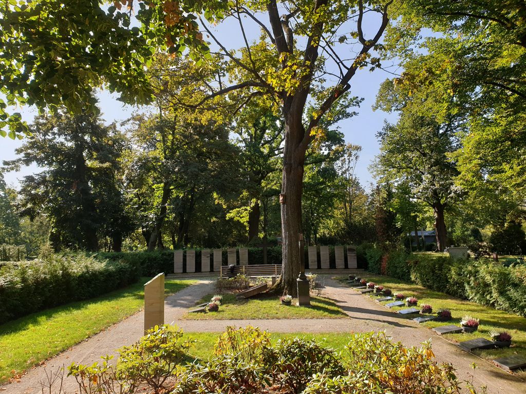
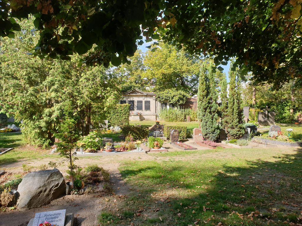
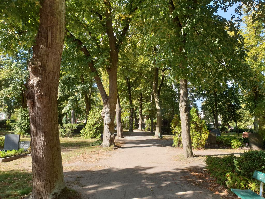
| Description | : | The Teltow Cemetery was inaugurated in 1805 on an area of 1,850 square meters, and the first burials took place there in 1806. In 1850 and 1867 the cemetery area was expanded to the north and west; also in 1867, the city council of Teltow decided to build a morgue, which is now the building of the cemetery administration. At the beginning of the 20th century, the cemetery area was expanded three more times to its current size of 3.5 hectares. The cemetery chapel was built between 1933 and 1934 based on a design by the architect Professor Winfried Wendland. At... Read More |
frequently asked questions (FAQ):
-
Where is Friedhof Teltow?
Friedhof Teltow is located at Weinbergsweg 1 Teltow, Landkreis Potsdam-Mittelmark ,Brandenburg , 14513Germany.
-
Friedhof Teltow cemetery's updated grave count on graveviews.com?
0 memorials
-
Where are the coordinates of the Friedhof Teltow?
Latitude: 52.4008256
Longitude: 13.2568985
Nearby Cemetories:
1. Friedhof Schönow - Zehlendorf
Zehlendorf, Steglitz-Zehlendorf, Germany
Coordinate: 52.4097149, 13.2666497
2. Dorfkirchhof Kleinmachnow
Kleinmachnow, Landkreis Potsdam-Mittelmark, Germany
Coordinate: 52.3950092, 13.2239098
3. Dorfkirche Stahnsdorf
Stahnsdorf, Landkreis Potsdam-Mittelmark, Germany
Coordinate: 52.3920802, 13.2163727
4. Privatfriedhof der Familie Dr. Heinrich Laehr
Zehlendorf, Steglitz-Zehlendorf, Germany
Coordinate: 52.4270392, 13.2644428
5. Friedhof Stahnsdorf
Stahnsdorf, Landkreis Potsdam-Mittelmark, Germany
Coordinate: 52.3868750, 13.2196840
6. Dorfkirchhof Ruhlsdorf, Teltow
Teltow, Landkreis Potsdam-Mittelmark, Germany
Coordinate: 52.3746670, 13.2679067
7. Parkfriedhof Lichterfelde
Lichterfelde, Steglitz-Zehlendorf, Germany
Coordinate: 52.4213890, 13.2908330
8. Friedhof Ruhlsdorf, Teltow
Teltow, Landkreis Potsdam-Mittelmark, Germany
Coordinate: 52.3706082, 13.2552694
9. Ehemaliger Gutsfriedhof Ruhlsdorf
Teltow, Landkreis Potsdam-Mittelmark, Germany
Coordinate: 52.3691003, 13.2709522
10. Dorffriedhof Zehlendorf
Zehlendorf, Steglitz-Zehlendorf, Germany
Coordinate: 52.4357600, 13.2595500
11. Waldfriedhof Zehlendorf
Nikolassee, Steglitz-Zehlendorf, Germany
Coordinate: 52.4241670, 13.2111110
12. Friedhof Zehlendorf
Zehlendorf, Steglitz-Zehlendorf, Germany
Coordinate: 52.4396900, 13.2540200
13. Dorfkirchhof Lichterfelde-Giesensdorf
Lichterfelde, Steglitz-Zehlendorf, Germany
Coordinate: 52.4210590, 13.3115809
14. Friedhof Nikolassee
Nikolassee, Steglitz-Zehlendorf, Germany
Coordinate: 52.4262900, 13.2045100
15. Friedhof Heinersdorf
Heinersdorf, Landkreis Teltow-Fläming, Germany
Coordinate: 52.3873801, 13.3275049
16. Wilmersdorfer Waldfriedhof Stahnsdorf
Landkreis Potsdam-Mittelmark, Germany
Coordinate: 52.3942100, 13.1808010
17. Südwestkirchhof Stahnsdorf
Stahnsdorf, Landkreis Potsdam-Mittelmark, Germany
Coordinate: 52.3888893, 13.1805563
18. Dorfkirche Lichterfelde
Lichterfelde, Steglitz-Zehlendorf, Germany
Coordinate: 52.4369350, 13.3147881
19. Südwestfriedhof Berliner Synode Italian Military
Stahnsdorf, Landkreis Potsdam-Mittelmark, Germany
Coordinate: 52.3828000, 13.1766600
20. Friedhof Lankwitz
Lankwitz, Steglitz-Zehlendorf, Germany
Coordinate: 52.4239950, 13.3342570
21. Gedenkstätte für die Opfer des Faschismus
Grossbeeren, Landkreis Teltow-Fläming, Germany
Coordinate: 52.3564975, 13.3034204
22. Südwestfriedhof der Berliner Synode Military
Stahnsdorf, Landkreis Potsdam-Mittelmark, Germany
Coordinate: 52.3833313, 13.1752081
23. Friedhof Großbeeren
Grossbeeren, Landkreis Teltow-Fläming, Germany
Coordinate: 52.3558200, 13.3026170
24. Friedhof Lichterfelde
Lichterfelde, Steglitz-Zehlendorf, Germany
Coordinate: 52.4438896, 13.3102779