
| Memorials | : | 0 |
| Location | : | Mifflin, Chester County, USA |
| Coordinate | : | 35.5133000, -88.5569900 |
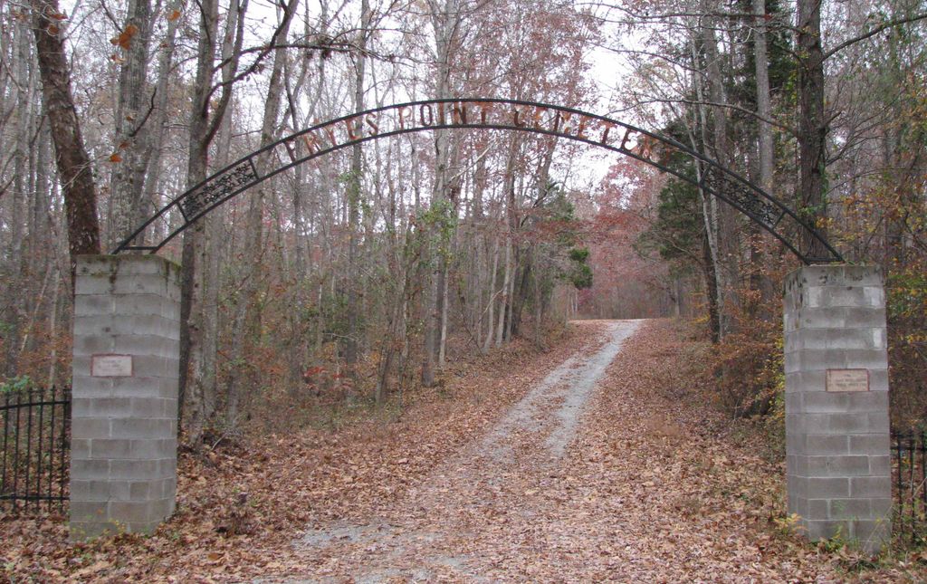
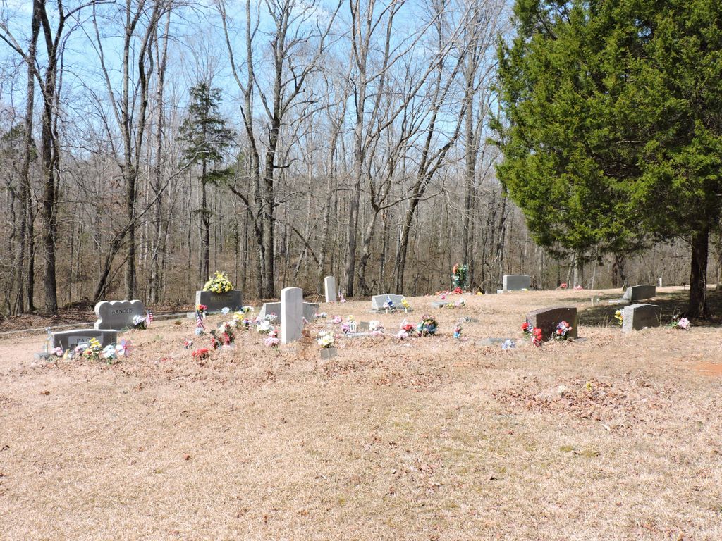
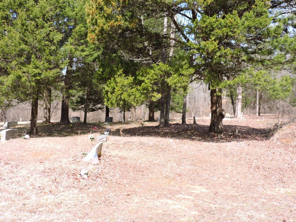
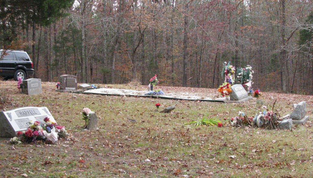
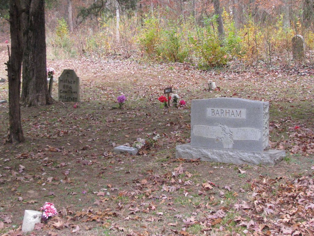
| Description | : | From Glendale Road turn onto Fryes Point Road. Drive .5 miles to the columned entrance into the cemetery. This currently used cemetery is at the end of the gravel drive. It is well maintained. The Fryes Point CME church is located about a half mile further east. The old antebellum cemetery located adjacent in the woods is Old Clarks Creek Cemetery and has a separate listing on Findagrave. |
frequently asked questions (FAQ):
-
Where is Frye's Point Cemetery?
Frye's Point Cemetery is located at Mifflin, Chester County ,Tennessee ,USA.
-
Frye's Point Cemetery cemetery's updated grave count on graveviews.com?
0 memorials
-
Where are the coordinates of the Frye's Point Cemetery?
Latitude: 35.5133000
Longitude: -88.5569900
Nearby Cemetories:
1. Old Clarks Creek Cemetery
Mifflin, Chester County, USA
Coordinate: 35.5138600, -88.5568300
2. Jones-Bond Cemetery
Chester County, USA
Coordinate: 35.4997820, -88.5654710
3. Clarks Creek Primitive Baptist Cemetery
Chester County, USA
Coordinate: 35.4939003, -88.5421982
4. Holly Springs Cemetery
Chester County, USA
Coordinate: 35.4986000, -88.5852966
5. Parrish Family Cemetery
Middle Fork, Henderson County, USA
Coordinate: 35.5396780, -88.5237750
6. Oak Grove Church of Christ Cemetery
Chester County, USA
Coordinate: 35.4756012, -88.5603027
7. Unity Cemetery
Chester County, USA
Coordinate: 35.5057983, -88.5111008
8. Brown Cemetery
Chester County, USA
Coordinate: 35.5527992, -88.5516968
9. New Mifflin Cemetery
Mifflin, Chester County, USA
Coordinate: 35.5494600, -88.5785900
10. Hamlett Cemetery
Jacks Creek, Chester County, USA
Coordinate: 35.4893990, -88.5168991
11. New Friendship Cemetery
Mifflin, Chester County, USA
Coordinate: 35.5185200, -88.6070850
12. Wheatley Cemetery
Chester County, USA
Coordinate: 35.4738000, -88.5742000
13. Hendrick Graveyard
Huron, Henderson County, USA
Coordinate: 35.5511000, -88.5320000
14. Middlefork Road Church Cemetery
Luray, Henderson County, USA
Coordinate: 35.5573190, -88.5344410
15. Jones Cemetery
Chester County, USA
Coordinate: 35.5000000, -88.4974976
16. Rhodes Cemetery
Jacks Creek, Chester County, USA
Coordinate: 35.4999310, -88.4971510
17. House of Prayer Church Cemetery
Henderson, Chester County, USA
Coordinate: 35.4674470, -88.5300870
18. Hurt Cemetery
Jacks Creek, Chester County, USA
Coordinate: 35.4853610, -88.5032620
19. Robertson Cemetery
Chester County, USA
Coordinate: 35.4616660, -88.5648800
20. Crook Cemetery
Huron, Henderson County, USA
Coordinate: 35.5536240, -88.5124970
21. Hart Cemetery
Chester County, USA
Coordinate: 35.4575005, -88.5552979
22. Old Frame Meetinghouse Cemetery
Jacks Creek, Chester County, USA
Coordinate: 35.4960740, -88.4904020
23. Jacks Creek Apostolic Cemetery
Jacks Creek, Chester County, USA
Coordinate: 35.4731070, -88.5052670
24. Beech Springs Cemetery
Jacks Creek, Chester County, USA
Coordinate: 35.4628110, -88.5159570