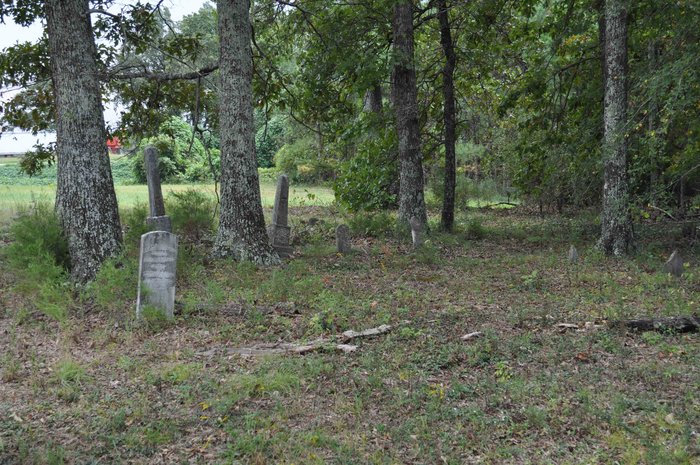
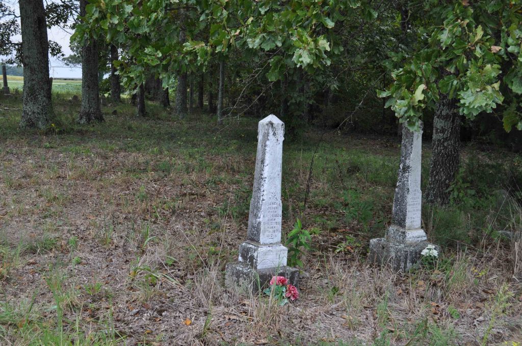
| Memorials | : | 1 |
| Location | : | Jacks Creek, Chester County, USA |
| Coordinate | : | 35.4999310, -88.4971510 |
| Description | : | From the intersection of TN-22 A & TN-100 in Jacks Creek, travel north on TN-22 Alt. for 1.7 mi., turning east (right) onto Nobles Rd., going 1.1 mi. to the cemetery in a wooded area on the south (right) side of the road about 1010 Nobles Rd., about 100 yards before the "T" intersection w/ Crissom Ln & Pipeline Rd. This Cemetery is known locally as Jones Cemetery. Lewis Jones in his 1982 book lists it as Jones Cemetery. The WPA project in 1928 list this as RHODES CEMETERY. The WPA Project showed 21... Read More |
frequently asked questions (FAQ):
-
Where is Rhodes Cemetery?
Rhodes Cemetery is located at Nobles Rd Jacks Creek, Chester County ,Tennessee ,USA.
-
Rhodes Cemetery cemetery's updated grave count on graveviews.com?
1 memorials
-
Where are the coordinates of the Rhodes Cemetery?
Latitude: 35.4999310
Longitude: -88.4971510
Nearby Cemetories:
1. Jones Cemetery
Chester County, USA
Coordinate: 35.5000000, -88.4974976
2. Old Frame Meetinghouse Cemetery
Jacks Creek, Chester County, USA
Coordinate: 35.4960740, -88.4904020
3. Unity Cemetery
Chester County, USA
Coordinate: 35.5057983, -88.5111008
4. Hurt Cemetery
Jacks Creek, Chester County, USA
Coordinate: 35.4853610, -88.5032620
5. Hamlett Cemetery
Jacks Creek, Chester County, USA
Coordinate: 35.4893990, -88.5168991
6. Laster Cemetery
Huron, Henderson County, USA
Coordinate: 35.5141770, -88.4801420
7. Johnson's Cross Roads Cemetery
Jacks Creek, Chester County, USA
Coordinate: 35.4824090, -88.4852410
8. Bailey Cemetery
Jacks Creek, Chester County, USA
Coordinate: 35.4818670, -88.4820990
9. Grider Cemetery
Huron, Henderson County, USA
Coordinate: 35.5127480, -88.4705640
10. Jacks Creek Apostolic Cemetery
Jacks Creek, Chester County, USA
Coordinate: 35.4731070, -88.5052670
11. Clarks Creek Primitive Baptist Cemetery
Chester County, USA
Coordinate: 35.4939003, -88.5421982
12. Beech Springs Cemetery
Jacks Creek, Chester County, USA
Coordinate: 35.4628110, -88.5159570
13. House of Prayer Church Cemetery
Henderson, Chester County, USA
Coordinate: 35.4674470, -88.5300870
14. Old Big Springs Cemetery
Huron, Henderson County, USA
Coordinate: 35.5394520, -88.4762550
15. Old Jacks Creek Church Cemetery
Huron, Henderson County, USA
Coordinate: 35.5254930, -88.4526830
16. Parrish Family Cemetery
Middle Fork, Henderson County, USA
Coordinate: 35.5396780, -88.5237750
17. Big Springs Cemetery
Henderson County, USA
Coordinate: 35.5456009, -88.4756012
18. Frye's Point Cemetery
Mifflin, Chester County, USA
Coordinate: 35.5133000, -88.5569900
19. Old Clarks Creek Cemetery
Mifflin, Chester County, USA
Coordinate: 35.5138600, -88.5568300
20. Barton Cemetery
Roby, Chester County, USA
Coordinate: 35.4683342, -88.4483871
21. Stewart Cemetery
Chester County, USA
Coordinate: 35.4700012, -88.4417038
22. Crook Cemetery
Huron, Henderson County, USA
Coordinate: 35.5536240, -88.5124970
23. Garrett Cemetery
Huron, Henderson County, USA
Coordinate: 35.5554150, -88.4938810
24. Jones-Bond Cemetery
Chester County, USA
Coordinate: 35.4997820, -88.5654710


