
| Memorials | : | 0 |
| Location | : | Mifflin, Chester County, USA |
| Coordinate | : | 35.5138600, -88.5568300 |
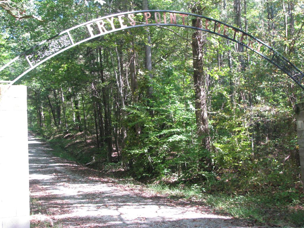
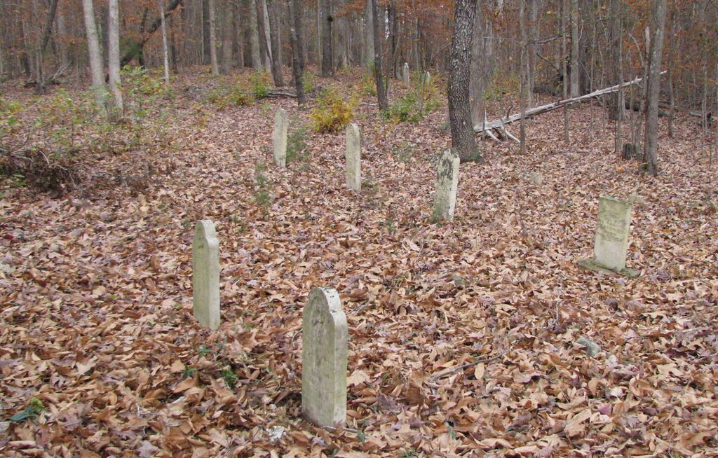
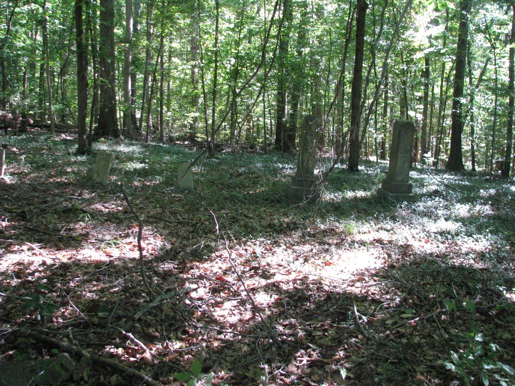
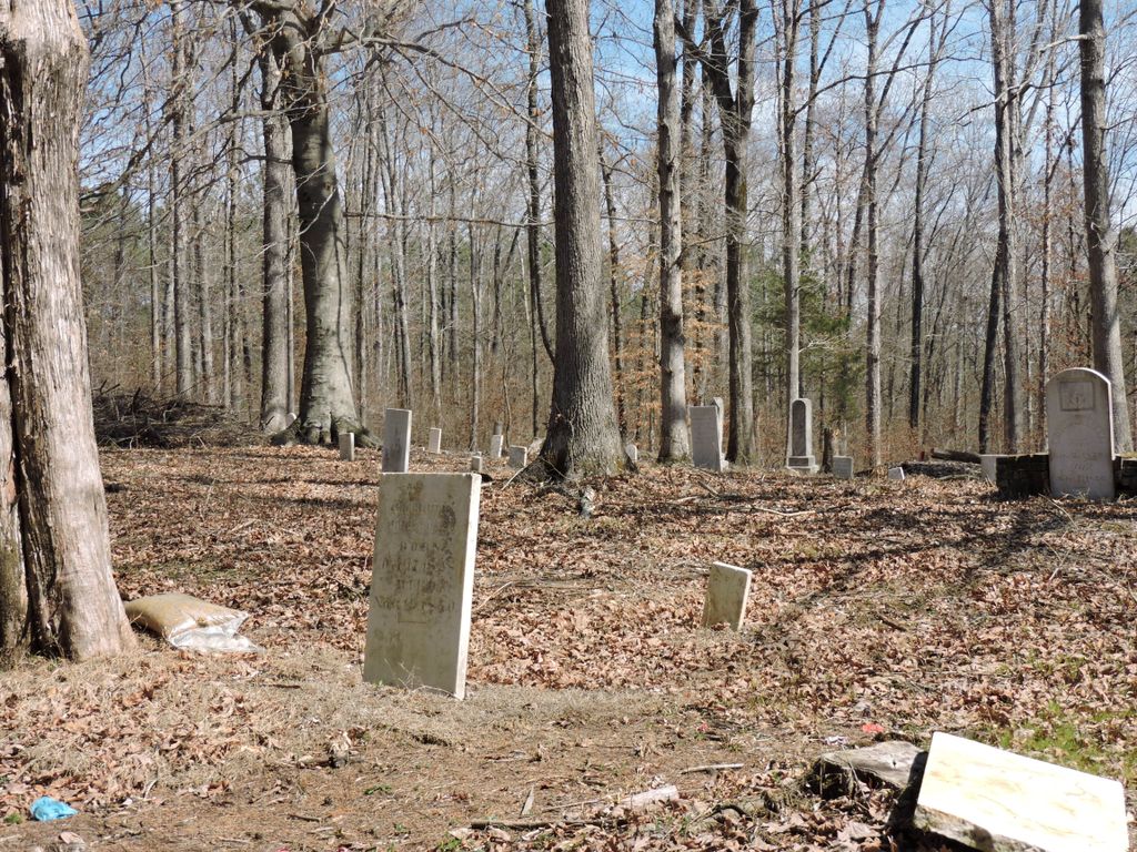
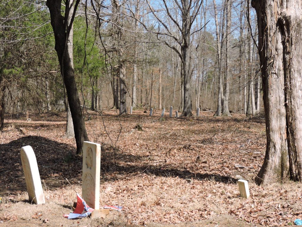
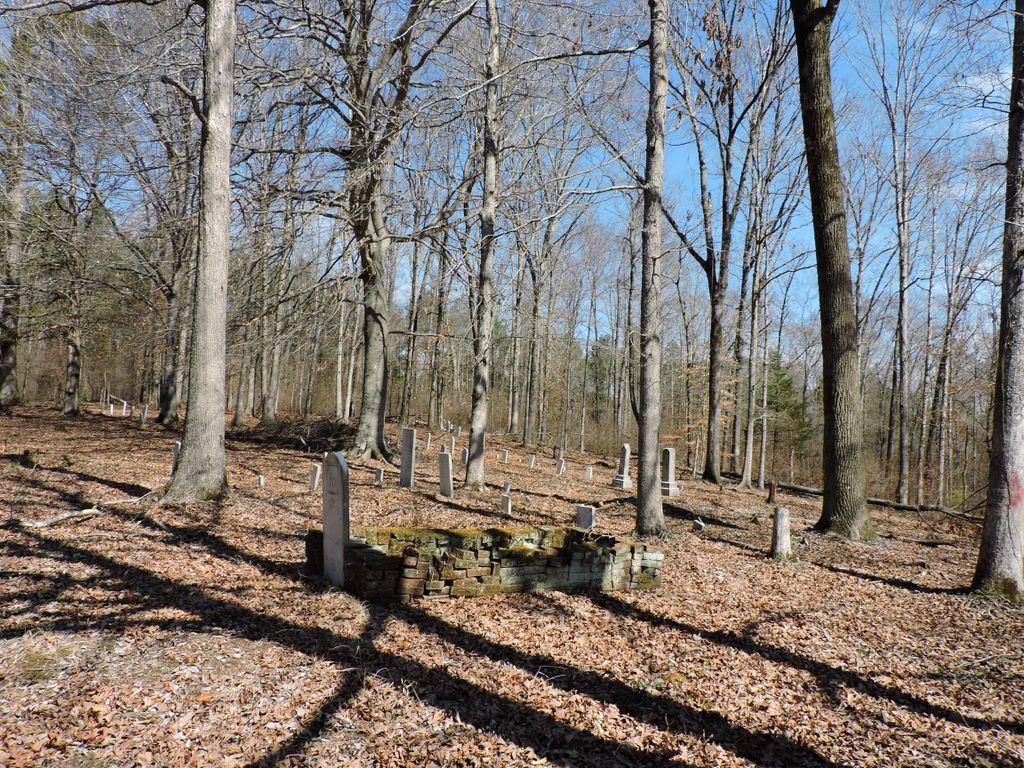
| Description | : | From Glendale Road turn onto Fryes Point Road and drive .5 miles. Enter the arched entrance for Fryes Point Cemetery. Drive up the gravel drive to the cemetery. The Old Clarks Creek Cemetery is at the back and East of the currently used Fryes Point Cemetery. You go through some shrubs and trees to enter the old cemetery area. Stones are still standing and are in relatively good shape. There are open areas where unmarked or missing stones may have been. This cemetery is near the site of the original Clarks Creek Primitive Baptist Church. ... Read More |
frequently asked questions (FAQ):
-
Where is Old Clarks Creek Cemetery?
Old Clarks Creek Cemetery is located at Fryes Point Road Mifflin, Chester County ,Tennessee ,USA.
-
Old Clarks Creek Cemetery cemetery's updated grave count on graveviews.com?
0 memorials
-
Where are the coordinates of the Old Clarks Creek Cemetery?
Latitude: 35.5138600
Longitude: -88.5568300
Nearby Cemetories:
1. Frye's Point Cemetery
Mifflin, Chester County, USA
Coordinate: 35.5133000, -88.5569900
2. Jones-Bond Cemetery
Chester County, USA
Coordinate: 35.4997820, -88.5654710
3. Clarks Creek Primitive Baptist Cemetery
Chester County, USA
Coordinate: 35.4939003, -88.5421982
4. Holly Springs Cemetery
Chester County, USA
Coordinate: 35.4986000, -88.5852966
5. Parrish Family Cemetery
Middle Fork, Henderson County, USA
Coordinate: 35.5396780, -88.5237750
6. Unity Cemetery
Chester County, USA
Coordinate: 35.5057983, -88.5111008
7. Oak Grove Church of Christ Cemetery
Chester County, USA
Coordinate: 35.4756012, -88.5603027
8. Brown Cemetery
Chester County, USA
Coordinate: 35.5527992, -88.5516968
9. New Mifflin Cemetery
Mifflin, Chester County, USA
Coordinate: 35.5494600, -88.5785900
10. Hamlett Cemetery
Jacks Creek, Chester County, USA
Coordinate: 35.4893990, -88.5168991
11. New Friendship Cemetery
Mifflin, Chester County, USA
Coordinate: 35.5185200, -88.6070850
12. Hendrick Graveyard
Huron, Henderson County, USA
Coordinate: 35.5511000, -88.5320000
13. Wheatley Cemetery
Chester County, USA
Coordinate: 35.4738000, -88.5742000
14. Middlefork Road Church Cemetery
Luray, Henderson County, USA
Coordinate: 35.5573190, -88.5344410
15. Jones Cemetery
Chester County, USA
Coordinate: 35.5000000, -88.4974976
16. Rhodes Cemetery
Jacks Creek, Chester County, USA
Coordinate: 35.4999310, -88.4971510
17. House of Prayer Church Cemetery
Henderson, Chester County, USA
Coordinate: 35.4674470, -88.5300870
18. Hurt Cemetery
Jacks Creek, Chester County, USA
Coordinate: 35.4853610, -88.5032620
19. Robertson Cemetery
Chester County, USA
Coordinate: 35.4616660, -88.5648800
20. Crook Cemetery
Huron, Henderson County, USA
Coordinate: 35.5536240, -88.5124970
21. Hart Cemetery
Chester County, USA
Coordinate: 35.4575005, -88.5552979
22. Old Frame Meetinghouse Cemetery
Jacks Creek, Chester County, USA
Coordinate: 35.4960740, -88.4904020
23. Jacks Creek Apostolic Cemetery
Jacks Creek, Chester County, USA
Coordinate: 35.4731070, -88.5052670
24. Beech Springs Cemetery
Jacks Creek, Chester County, USA
Coordinate: 35.4628110, -88.5159570