
| Memorials | : | 1 |
| Location | : | Fultonville, Montgomery County, USA |
| Coordinate | : | 42.9450188, -74.3735657 |
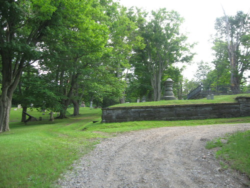
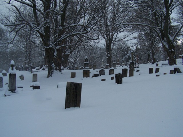
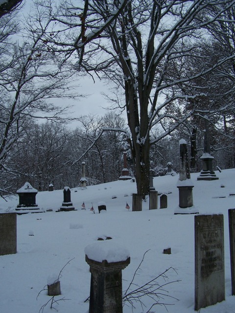
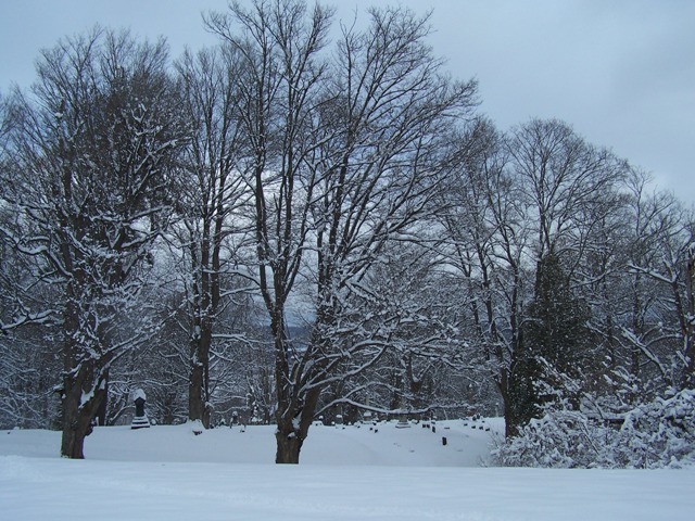
| Description | : | The Old Fultonville Cemetery was officially founded in 1848. The village held a meeting in 1848 to take action on purchasing property for the use of a public cemetery. In the Autumn of that year, enough money was raised to purchase the land from Garret Yates. The property was laid out into plots and sold at auction. Three additions have been made. The last nearly doubled the size of the cemetery due to John Henry Starin's donation of land. A transcription of the grave stones was... Read More |
frequently asked questions (FAQ):
-
Where is Fultonville Cemetery and Natural Burial Ground?
Fultonville Cemetery and Natural Burial Ground is located at Upper Mohawk Street Fultonville, Montgomery County ,New York , 12072USA.
-
Fultonville Cemetery and Natural Burial Ground cemetery's updated grave count on graveviews.com?
1 memorials
-
Where are the coordinates of the Fultonville Cemetery and Natural Burial Ground?
Latitude: 42.9450188
Longitude: -74.3735657

Nearby Cemetories:
1. Van Epps-Starin Cemetery
Fultonville, Montgomery County, USA
Coordinate: 42.9427780, -74.3709450
2. Caughnawaga Cemetery
Fonda, Montgomery County, USA
Coordinate: 42.9571991, -74.3681030
3. Maple Avenue Cemetery
Fultonville, Montgomery County, USA
Coordinate: 42.9385695, -74.3570231
4. Caughnawaga Castle Site
Montgomery County, USA
Coordinate: 42.9542910, -74.3928310
5. Saint Cecilia Cemetery
Fonda, Montgomery County, USA
Coordinate: 42.9619600, -74.3836900
6. Gardinier Cemetery
Fultonville, Montgomery County, USA
Coordinate: 42.9440560, -74.3477760
7. Schenck Martin Farm Graveyard
Fonda, Montgomery County, USA
Coordinate: 42.9429330, -74.4074330
8. Van Deusen and Lansing Family Burial Ground
Fonda, Montgomery County, USA
Coordinate: 42.9726600, -74.3716800
9. Wemple Cemetery
Montgomery County, USA
Coordinate: 42.9729729, -74.3899765
10. Evergreen Cemetery
Fonda, Montgomery County, USA
Coordinate: 42.9552994, -74.4131012
11. Printup Burial Ground
Stone Ridge, Montgomery County, USA
Coordinate: 42.9305500, -74.4136700
12. Sammons Cemetery
Mohawk, Montgomery County, USA
Coordinate: 42.9766300, -74.3913900
13. Danascara Cemetery
Tribes Hill, Montgomery County, USA
Coordinate: 42.9396090, -74.3175850
14. Auriesville Cemetery
Glen, Montgomery County, USA
Coordinate: 42.9287900, -74.3133300
15. Quackenbush Cemetery
Auriesville, Montgomery County, USA
Coordinate: 42.9286120, -74.3132120
16. Dockstader Hickory Hill Homestead Burial Site
Mohawk, Montgomery County, USA
Coordinate: 42.9258610, -74.4389110
17. Glen Village Cemetery
Glen, Montgomery County, USA
Coordinate: 42.8925900, -74.3505900
18. Jesuit Cemetery
Auriesville, Montgomery County, USA
Coordinate: 42.9224700, -74.3010700
19. Wyckoff Cemetery
Glen, Montgomery County, USA
Coordinate: 42.8908600, -74.3463100
20. Saint Patricks Cemetery
Johnstown, Fulton County, USA
Coordinate: 43.0022011, -74.3557968
21. Boshart Cemetery
Fulton County, USA
Coordinate: 43.0010986, -74.4064026
22. Hall Family Cemetery
Glen, Montgomery County, USA
Coordinate: 42.8837870, -74.3824730
23. Sir William Johnson Grave
Johnstown, Fulton County, USA
Coordinate: 43.0067030, -74.3730360
24. Colonial Cemetery
Johnstown, Fulton County, USA
Coordinate: 43.0080986, -74.3732986