
| Memorials | : | 0 |
| Location | : | Panola, Sumter County, USA |
| Coordinate | : | 32.9394500, -88.2823300 |
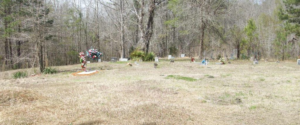
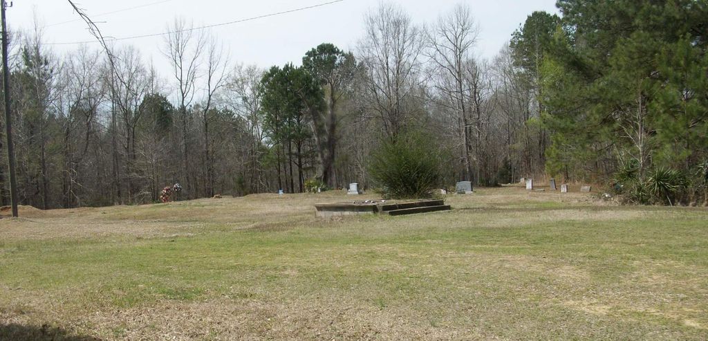
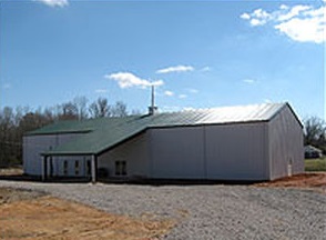
| Description | : | The cemetery is still there but the church was burned down. Galilee Baptist Church was 6 of 9 churches set on fire February 7, 2006 in central and western Alabama. Like many of those churches, Galilee was completely destroyed in the blaze. The string of attacks – which took place on two different nights – led to federal and state investigations. Some church members decided to sleep inside their churches to try and protect them from a fiery destruction. Those members were shocked when three local college students admitted to setting the fires one month later. The three students – Benjamin... Read More |
frequently asked questions (FAQ):
-
Where is Galilee Baptist Church Cemetery?
Galilee Baptist Church Cemetery is located at Galileeo Road Panola, Sumter County ,Alabama , 35477USA.
-
Galilee Baptist Church Cemetery cemetery's updated grave count on graveviews.com?
0 memorials
-
Where are the coordinates of the Galilee Baptist Church Cemetery?
Latitude: 32.9394500
Longitude: -88.2823300
Nearby Cemetories:
1. Geiger Family Cemetery
Panola, Sumter County, USA
Coordinate: 32.9591900, -88.2968000
2. Shady Grove Cemetery
Panola, Sumter County, USA
Coordinate: 32.9361300, -88.2495800
3. Zion Valley Baptist Church Cemetery
Panola, Sumter County, USA
Coordinate: 32.9426000, -88.2450000
4. Salem AME Zion Church Cemetery
Sumter County, USA
Coordinate: 32.9167360, -88.2516250
5. Mount Tabor Cemetery
Panola, Sumter County, USA
Coordinate: 32.9511500, -88.3231100
6. Hargrove Cemetery
Sumter County, USA
Coordinate: 32.9713800, -88.2458200
7. Jones-Aust Cemetery
Geiger, Sumter County, USA
Coordinate: 32.9154770, -88.3314940
8. Watts Cemetery
Sumter County, USA
Coordinate: 32.9261017, -88.3427963
9. Jamestown Cemetery
Sumter County, USA
Coordinate: 32.9399986, -88.2099991
10. Adams Cemetery
Pickens County, USA
Coordinate: 33.0005989, -88.2677994
11. Dancy First Baptist Cemetery
Dancy, Pickens County, USA
Coordinate: 33.0038986, -88.2930984
12. Antioch Cemetery
Pickens County, USA
Coordinate: 33.0014000, -88.2466965
13. Green Chapel Baptist Church Cemetery
Cooksville, Noxubee County, USA
Coordinate: 32.9330100, -88.3665400
14. Taylor-Watkins Cemetery
Warsaw, Sumter County, USA
Coordinate: 32.9130700, -88.1977300
15. Dancy Family Cemetery
Dancy, Pickens County, USA
Coordinate: 33.0147100, -88.2944400
16. Cooksville Cemetery
Cooksville, Noxubee County, USA
Coordinate: 32.9846992, -88.3610992
17. Mount Pleasant Baptist Church Cemetery
Panola, Sumter County, USA
Coordinate: 32.9809400, -88.1999800
18. Saint John Baptist Church Cemetery
Panola, Sumter County, USA
Coordinate: 32.8852060, -88.2028010
19. Binnsville Cemetery
Binnsville, Kemper County, USA
Coordinate: 32.9067001, -88.3822021
20. Spencer Family Cemetery
Dancy, Pickens County, USA
Coordinate: 33.0329000, -88.2966000
21. Rancher Cemetery
Geiger, Sumter County, USA
Coordinate: 32.8498450, -88.3228090
22. Souls Chapel Cemetery
Geiger, Sumter County, USA
Coordinate: 32.8424988, -88.2996979
23. Drish Cemetery
Dancy, Pickens County, USA
Coordinate: 33.0402400, -88.2693900
24. Farmer-Clanton Family Cemetery
Cochrane, Pickens County, USA
Coordinate: 33.0467700, -88.3083000