
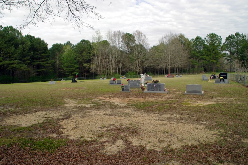
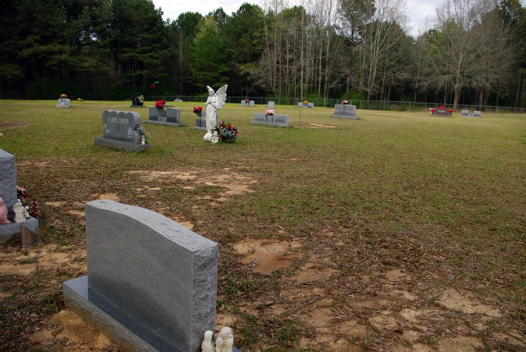
| Memorials | : | 0 |
| Location | : | Smith County, USA |
| Coordinate | : | 32.0478910, -89.7296920 |
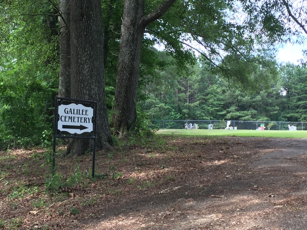
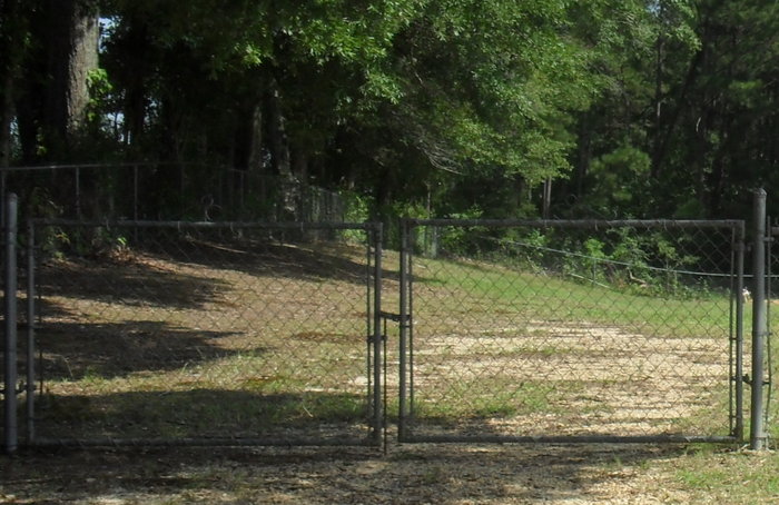
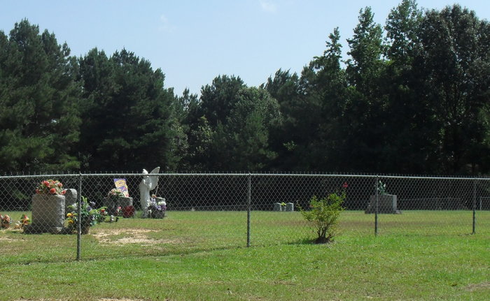
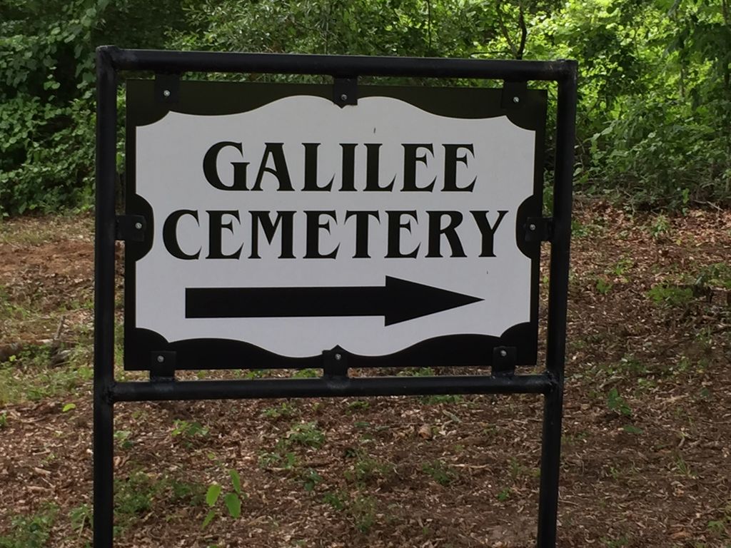
| Description | : | From Raleigh, Mississippi proceed West on Highway 18 for 12.8 miles, until arriving at the intersection of Smith County Road 138 (SCR 138.) Turn left (Southwest) onto SCR 138 and proceed nearly one mile, (Please Note: this road will change designation to "Galilee Cutoff Road" as you enter Rankin County, approximately one half mile after turning from Hwy 18.) At the intersection of L. B. Vanderford Road turn left (South) and continue approximately 3 tenths of a mile, (actually entering into Simpson County,) the driveway for the cemetery will be on the left with the cemetery clearly visible approximately 300... Read More |
frequently asked questions (FAQ):
-
Where is Galilee Church Cemetery?
Galilee Church Cemetery is located at 294 L B Vanderfer Road Smith County ,Mississippi , 39114USA.
-
Galilee Church Cemetery cemetery's updated grave count on graveviews.com?
0 memorials
-
Where are the coordinates of the Galilee Church Cemetery?
Latitude: 32.0478910
Longitude: -89.7296920
Nearby Cemetories:
1. Everett Cemetery
Smith County, USA
Coordinate: 32.0643997, -89.7182999
2. Gates Family Cemetery
Martinville, Simpson County, USA
Coordinate: 32.0349500, -89.7498500
3. Gates Cemetery
Simpson County, USA
Coordinate: 32.0454100, -89.7562100
4. Overby Cemetery
Simpson County, USA
Coordinate: 32.0233002, -89.7256012
5. Rock Pisgah Missionary Baptist Church Cemetery
Mendenhall, Simpson County, USA
Coordinate: 32.0201580, -89.7507140
6. White Oak Cemetery Old
White Oak, Smith County, USA
Coordinate: 32.0692700, -89.6927900
7. Miley Cemetery
Smith County, USA
Coordinate: 32.0790200, -89.7026900
8. Dukes Cemetery
Smith County, USA
Coordinate: 32.0581700, -89.6848700
9. Partridge Cemetery
Smith County, USA
Coordinate: 32.0581700, -89.6848700
10. White Oak Cemetery
White Oak, Smith County, USA
Coordinate: 32.0712800, -89.6830100
11. Burnham Cemetery
Puckett, Rankin County, USA
Coordinate: 32.0910988, -89.7574997
12. Puckett Cemetery
Puckett, Rankin County, USA
Coordinate: 32.0839005, -89.7761002
13. New Home Baptist Church Cemetery
Mendenhall, Simpson County, USA
Coordinate: 31.9926610, -89.7472500
14. Terry Cemetery
Raleigh, Smith County, USA
Coordinate: 32.0918800, -89.6831100
15. Union Baptist Church Cemetery
Mayton, Rankin County, USA
Coordinate: 32.1067009, -89.7508011
16. Good Hope Primitive Baptist Cemetery
Martinville, Simpson County, USA
Coordinate: 31.9892400, -89.7544800
17. County Line Cemetery
Puckett, Rankin County, USA
Coordinate: 32.0536003, -89.8103027
18. Kennedy Springs Cemetery
Mendenhall, Simpson County, USA
Coordinate: 31.9812100, -89.7033500
19. Merchant Cemetery
Smith County, USA
Coordinate: 32.0335999, -89.6472015
20. Rock Bluff Cemetery
Daniel, Smith County, USA
Coordinate: 32.1251000, -89.7165400
21. Everett Cemetery
Everett, Simpson County, USA
Coordinate: 32.0200005, -89.8218994
22. Welch Cemetery
Martinville, Simpson County, USA
Coordinate: 31.9647385, -89.7527233
23. Pleasant Hill Baptist Church Cemetery
Raleigh, Smith County, USA
Coordinate: 32.0127300, -89.6373700
24. Old Good Hope Cemetery
Martinville, Simpson County, USA
Coordinate: 31.9602640, -89.7419310