
| Memorials | : | 0 |
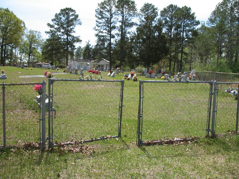
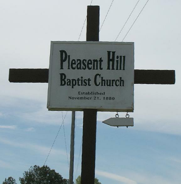
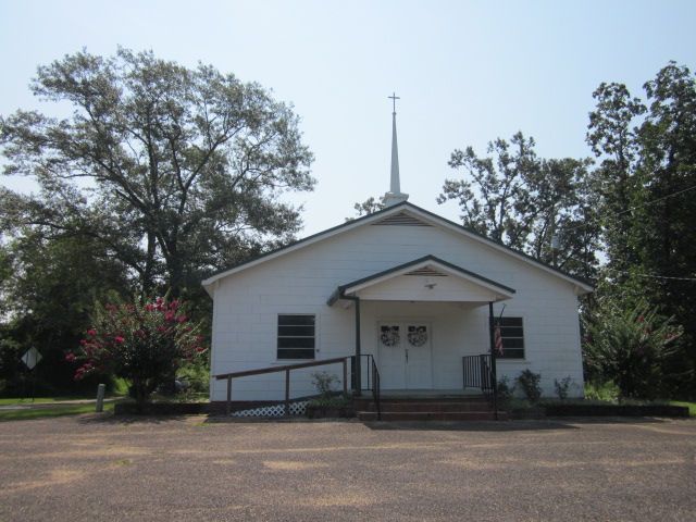
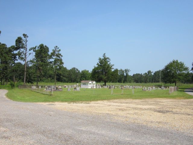
| Location | : | Raleigh, Smith County, USA |
| Coordinate | : | 32.0127300, -89.6373700 |
| Description | : | From Raleigh, MS proceed South on Mississippi Highway 35 (MS 35 aka Main Street) four tenths of a mile to the intersection of Mississippi Highway 540 (MS 540 aka Cohay Road.) Make a slight Right Turn (Southwest) onto MS 540 and continue 7.6 miles to the intersection of Smith County Road 540-1 (SCR 540-1.) Turn Left (South) onto SCR 540-1 and proceed approximately one tenth of a mile, cemetery will be on Right (Southwest) side of road, specifically SE1/4 NW1/4, S13, T2N-R6E, Smith, White Oak Quadrangle map, USNG 16S BA 50888 44903. |
frequently asked questions (FAQ):
-
Where is Pleasant Hill Baptist Church Cemetery?
Pleasant Hill Baptist Church Cemetery is located at 120 Smith County Road 540-1 Raleigh, Smith County ,Mississippi , 39153USA.
-
Pleasant Hill Baptist Church Cemetery cemetery's updated grave count on graveviews.com?
0 memorials
-
Where are the coordinates of the Pleasant Hill Baptist Church Cemetery?
Latitude: 32.0127300
Longitude: -89.6373700
Nearby Cemetories:
1. Merchant Cemetery
Smith County, USA
Coordinate: 32.0335999, -89.6472015
2. Crossroads Holiness Church Cemetery
Raleigh, Smith County, USA
Coordinate: 32.0237000, -89.6119300
3. Pauper Cemetery
Raleigh, Smith County, USA
Coordinate: 32.0145490, -89.5891550
4. Rocky Hill Baptist Church Cemetery
Smith County, USA
Coordinate: 31.9657100, -89.6490800
5. Butler Cemetery
Simpson County, USA
Coordinate: 31.9549256, -89.6573443
6. Dukes Cemetery
Smith County, USA
Coordinate: 32.0581700, -89.6848700
7. Partridge Cemetery
Smith County, USA
Coordinate: 32.0581700, -89.6848700
8. Kennedy Springs Cemetery
Mendenhall, Simpson County, USA
Coordinate: 31.9812100, -89.7033500
9. Corinth Baptist Church Cemetery
Raleigh, Smith County, USA
Coordinate: 32.0265100, -89.5593900
10. Wilkinson Memorial Baptist Cemetery
Raleigh, Smith County, USA
Coordinate: 31.9817700, -89.5653800
11. Womac Cemetery
Simpson County, USA
Coordinate: 31.9642230, -89.6956180
12. White Oak Cemetery
White Oak, Smith County, USA
Coordinate: 32.0712800, -89.6830100
13. White Oak Cemetery Old
White Oak, Smith County, USA
Coordinate: 32.0692700, -89.6927900
14. Overby Cemetery
Simpson County, USA
Coordinate: 32.0233002, -89.7256012
15. Easterling Cemetery
Raleigh, Smith County, USA
Coordinate: 32.0045300, -89.5485500
16. Butler Cemetery
Mize, Smith County, USA
Coordinate: 31.9407280, -89.5959160
17. Dry Creek Cemetery
Magee, Simpson County, USA
Coordinate: 31.9448795, -89.6939621
18. Galilee Church Cemetery
Smith County, USA
Coordinate: 32.0478910, -89.7296920
19. Everett Cemetery
Smith County, USA
Coordinate: 32.0643997, -89.7182999
20. Miley Cemetery
Smith County, USA
Coordinate: 32.0790200, -89.7026900
21. Terry Cemetery
Raleigh, Smith County, USA
Coordinate: 32.0918800, -89.6831100
22. Gordan Cemetery
Raleigh, Smith County, USA
Coordinate: 32.0950012, -89.5935974
23. Steve Hughes Cemetery
Smith County, USA
Coordinate: 32.1073600, -89.6344000
24. Boykin Church Cemetery
Raleigh, Smith County, USA
Coordinate: 32.0985177, -89.5898151