
| Memorials | : | 3 |
| Location | : | Stompwijk, Leidschendam-Voorburg Municipality, Netherlands |
| Coordinate | : | 52.0952190, 4.4647780 |
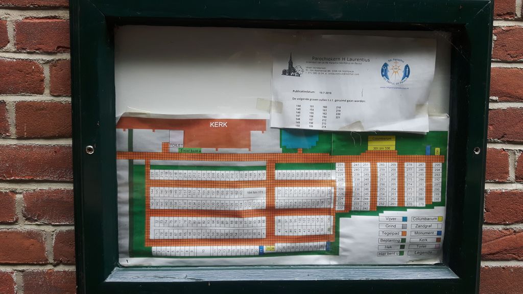
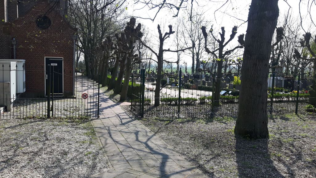
| Description | : | Roman Catholic Graveyard located next to the Heilige Laurentiuskerk in Stompwijk |
frequently asked questions (FAQ):
-
Where is Gemeentelijke Begraafplaats Stompwijk?
Gemeentelijke Begraafplaats Stompwijk is located at Doctor van Noortstraat 86 Stompwijk, Leidschendam-Voorburg Municipality ,Zuid-Holland , 2266 HHNetherlands.
-
Gemeentelijke Begraafplaats Stompwijk cemetery's updated grave count on graveviews.com?
3 memorials
-
Where are the coordinates of the Gemeentelijke Begraafplaats Stompwijk?
Latitude: 52.0952190
Longitude: 4.4647780
Nearby Cemetories:
1. Begraafplaats St. Jans Onthoofding
Zuidbuurt, Zoeterwoude Municipality, Netherlands
Coordinate: 52.1091010, 4.5028680
2. Crematorium Meerbloemhof
Zoetermeer Municipality, Netherlands
Coordinate: 52.0668059, 4.4615465
3. Begraafplaats Hoflaan
Zoetermeer, Zoetermeer Municipality, Netherlands
Coordinate: 52.0652820, 4.4638980
4. Nederlands Hervormd Kerkhof Dorpskerk
Voorschoten, Voorschoten Municipality, Netherlands
Coordinate: 52.1251120, 4.4465990
5. Nederlands-Hervormde Begraafplaats Dorpskerk
Zoeterwoude-Dorp, Zoeterwoude Municipality, Netherlands
Coordinate: 52.1212195, 4.4971618
6. Begraafplaats Rosenburgh
Voorschoten, Voorschoten Municipality, Netherlands
Coordinate: 52.1201420, 4.4299620
7. Nederlands Hervormde Begraafplaats Wilsveen
Wilsveen, Leidschendam-Voorburg Municipality, Netherlands
Coordinate: 52.0738933, 4.4222136
8. Rooms Katholiek Kerkhof H. Laurentiuskerk
Voorschoten, Voorschoten Municipality, Netherlands
Coordinate: 52.1299570, 4.4552670
9. Rooms Katholieke Begraafplaats Sint Agatha
Leidschendam, Leidschendam-Voorburg Municipality, Netherlands
Coordinate: 52.0934310, 4.4022130
10. Kerkhof RK Sint Nicolaaskerk
Zoetermeer, Zoetermeer Municipality, Netherlands
Coordinate: 52.0575321, 4.4954131
11. Zoetermeer Old Churchyard
Zoetermeer, Zoetermeer Municipality, Netherlands
Coordinate: 52.0562600, 4.4959300
12. Kerkhof Hervormde Kerk Benthuizen
Benthuizen, Alphen aan den Rijn Municipality, Netherlands
Coordinate: 52.0770000, 4.5407400
13. Begraafplaats Binnenweg
Zoetermeer, Zoetermeer Municipality, Netherlands
Coordinate: 52.0494000, 4.5077000
14. Begraafplaats Vrederust
Benthuizen, Alphen aan den Rijn Municipality, Netherlands
Coordinate: 52.0745097, 4.5441947
15. Wassenaar Joodse Begraafplaats
Wassenaar, Wassenaar Municipality, Netherlands
Coordinate: 52.1116400, 4.3699200
16. Algemene Begraafplaats Hoge Rijndijk
Zoeterwoude-Rijndijk, Zoeterwoude Municipality, Netherlands
Coordinate: 52.1448600, 4.5233400
17. RK Begraafplaats Sint-Bartholomeüskerk
Nootdorp, Pijnacker-Nootdorp Municipality, Netherlands
Coordinate: 52.0491000, 4.3941100
18. Dierenbegraafplaats Groenendijk
Groenendijk, Alphen aan den Rijn Municipality, Netherlands
Coordinate: 52.1284310, 4.5529946
19. Rooms Katholieke Begraafplaats Sint Willibrordus
Wassenaar, Wassenaar Municipality, Netherlands
Coordinate: 52.1399480, 4.3906280
20. Pieterskerk
Leiden, Leiden Municipality, Netherlands
Coordinate: 52.1576200, 4.4877290
21. Hooglandse Kerk
Leiden, Leiden Municipality, Netherlands
Coordinate: 52.1579230, 4.4938010
22. Dorpskerk Leiderdorp
Leiderdorp, Leiderdorp Municipality, Netherlands
Coordinate: 52.1509480, 4.5234880
23. Begraafplaats Groenesteeg
Leiden, Leiden Municipality, Netherlands
Coordinate: 52.1573700, 4.5029200
24. Begraafplaats Sint Janshof
Pijnacker-Nootdorp Municipality, Netherlands
Coordinate: 52.0358500, 4.4133597