
| Memorials | : | 0 |
| Location | : | Rumeltshausen, Landkreis Dachau, Germany |
| Coordinate | : | 48.3033578, 11.3884687 |
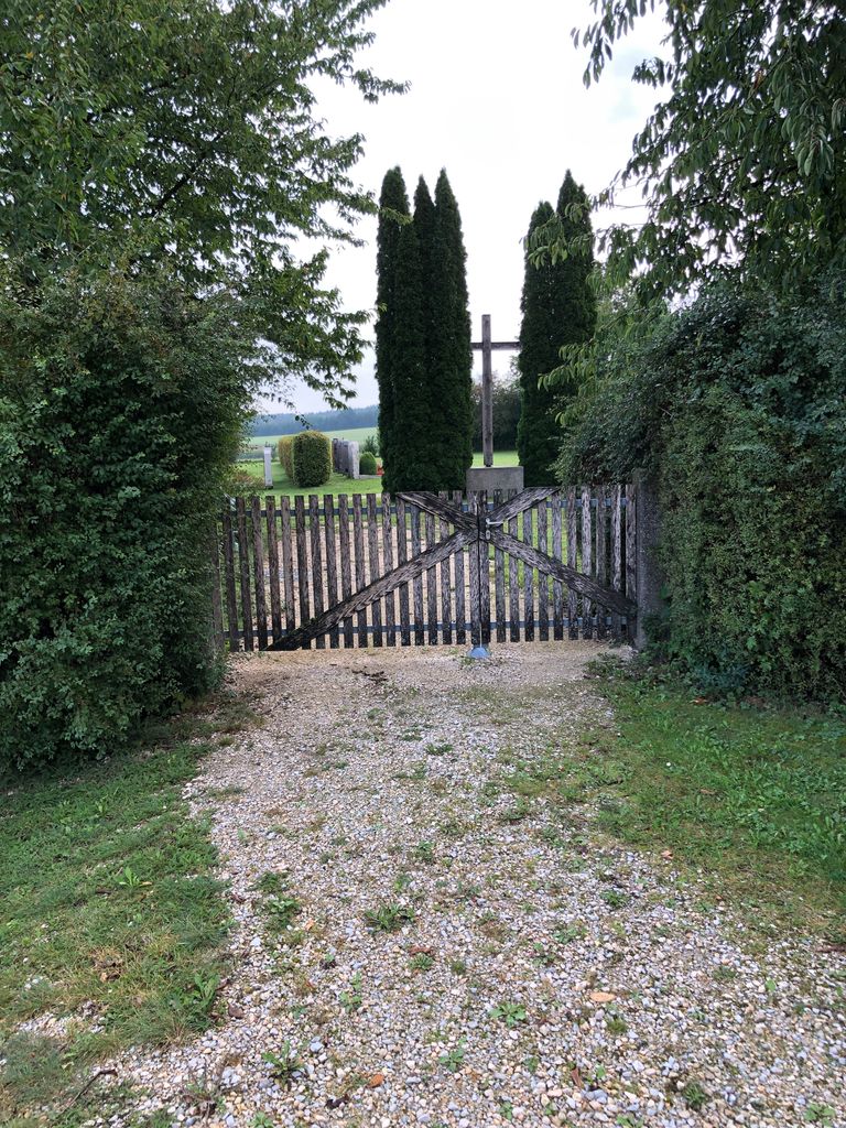
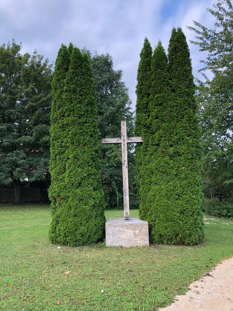
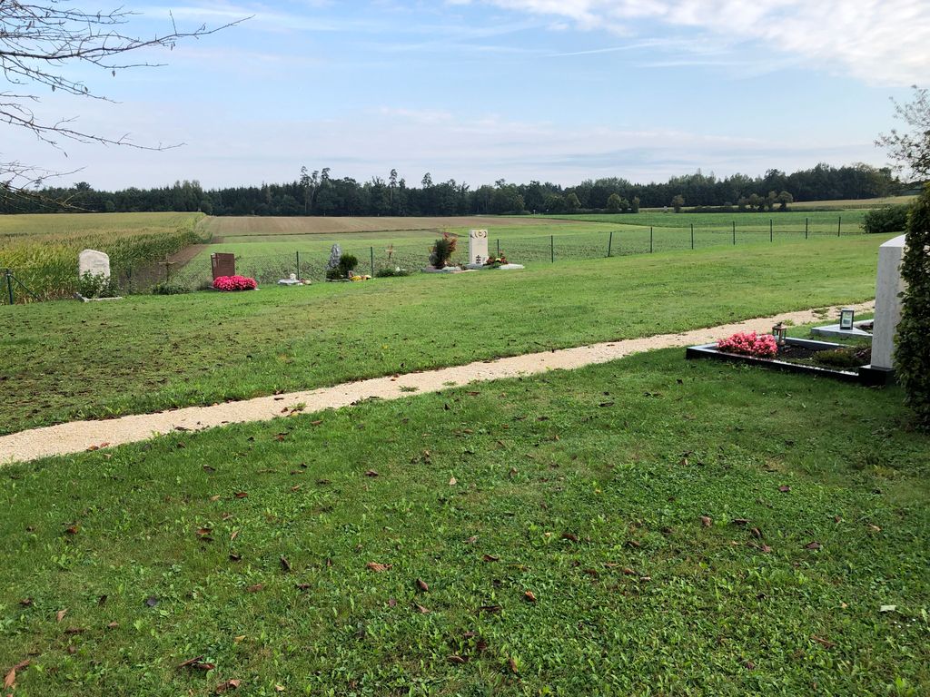
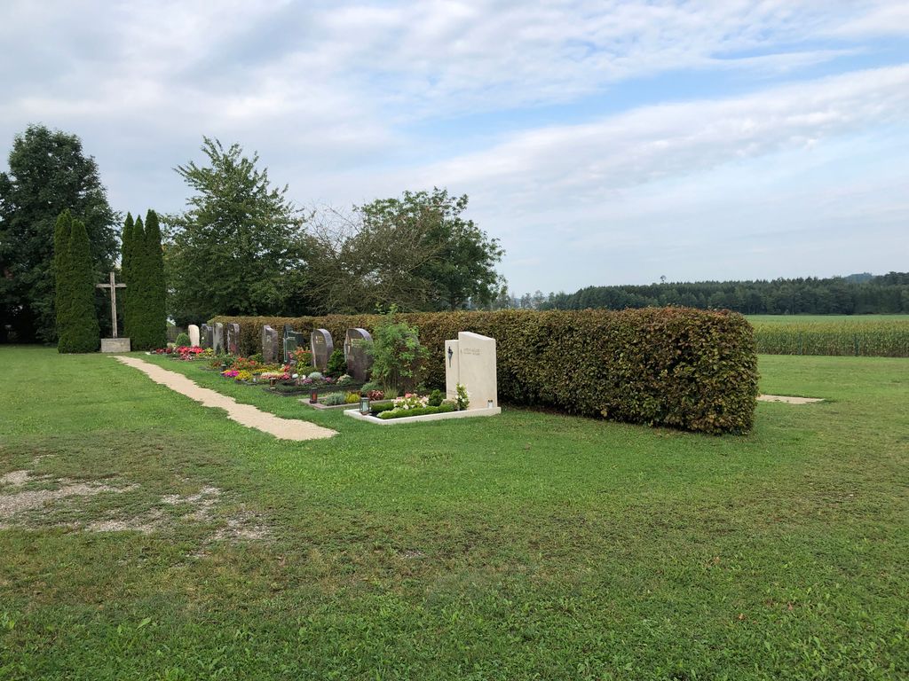
| Description | : | New cemetery situated at the end of the village. |
frequently asked questions (FAQ):
-
Where is Gemeindefriedhof Rumelsthausen?
Gemeindefriedhof Rumelsthausen is located at Am Holzfeld Rumeltshausen, Landkreis Dachau ,Bavaria (Bayern) , 85247Germany.
-
Gemeindefriedhof Rumelsthausen cemetery's updated grave count on graveviews.com?
0 memorials
-
Where are the coordinates of the Gemeindefriedhof Rumelsthausen?
Latitude: 48.3033578
Longitude: 11.3884687
Nearby Cemetories:
1. Friedhof St. Laurentius
Rumeltshausen, Landkreis Dachau, Germany
Coordinate: 48.3018740, 11.3841920
2. Niederroth Friedhof
Niederroth, Landkreis Dachau, Germany
Coordinate: 48.3219900, 11.3875000
3. Gemeindefriedhof Pellheim
Pellheim, Landkreis Dachau, Germany
Coordinate: 48.2975338, 11.4164202
4. Neuer Friedhof Unterbachern
Unterbachern, Landkreis Dachau, Germany
Coordinate: 48.2837313, 11.3859010
5. Friedhof Pellheim
Pellheim, Landkreis Dachau, Germany
Coordinate: 48.2950821, 11.4164104
6. Kirchhof St. Vitalis
Sigmertshausen, Landkreis Dachau, Germany
Coordinate: 48.3191035, 11.4145088
7. Schwabhausen Neuer Friedhof am Wasserturm
Schwabhausen, Landkreis Dachau, Germany
Coordinate: 48.3111900, 11.3547000
8. Schwabhausen Kirchfriedhof
Schwabhausen, Landkreis Dachau, Germany
Coordinate: 48.3071700, 11.3526500
9. Friedhof Unterbachern
Unterbachern, Landkreis Dachau, Germany
Coordinate: 48.2792091, 11.3841429
10. Friedhof Oberbachern
Oberbachern, Landkreis Dachau, Germany
Coordinate: 48.2828941, 11.3664398
11. Kirchhof St. Johannes und Paulus
Arzbach, Landkreis Dachau, Germany
Coordinate: 48.3099595, 11.4362108
12. Puchschlagen Cemetery
Puchschlagen, Landkreis Dachau, Germany
Coordinate: 48.2897600, 11.3429900
13. Kirchhof Mariä Geburt
Unterweilbach, Landkreis Dachau, Germany
Coordinate: 48.3056984, 11.4483550
14. Pfarrfriedhof St. Peter und Paul
Oberroth, Landkreis Dachau, Germany
Coordinate: 48.3091654, 11.3282816
15. Grossinzemoos Kirchfriedhof
Grossinzemoos, Landkreis Dachau, Germany
Coordinate: 48.3372600, 11.4247900
16. Dorffriedhof Unterweilbach
Unterweilbach, Landkreis Dachau, Germany
Coordinate: 48.3069619, 11.4509663
17. Friedhof Sankt Kastulus
Prittlbach, Landkreis Dachau, Germany
Coordinate: 48.2857456, 11.4469161
18. Arnbach Kirchfriedhof
Arnbach, Landkreis Dachau, Germany
Coordinate: 48.3370200, 11.3450800
19. Dachau Waldfriedhof
Dachau, Landkreis Dachau, Germany
Coordinate: 48.2678566, 11.4297724
20. Kleininzemoos Kirchfriedhof
Kleininzemoos, Landkreis Dachau, Germany
Coordinate: 48.3330500, 11.4404400
21. Friedhof Etzenhausen
Etzenhausen, Landkreis Dachau, Germany
Coordinate: 48.2711716, 11.4381142
22. Friedhof Günding
Gunding, Landkreis Dachau, Germany
Coordinate: 48.2551880, 11.3943892
23. Kreuzholzhausen Cemetery
Kreuzholzhausen, Landkreis Dachau, Germany
Coordinate: 48.2736397, 11.3290815
24. Gemeindefriedhof Bergkirchen
Bergkirchen, Landkreis Dachau, Germany
Coordinate: 48.2556114, 11.3634996