
| Memorials | : | 0 |
| Location | : | Bergkirchen, Landkreis Dachau, Germany |
| Coordinate | : | 48.2556114, 11.3634996 |
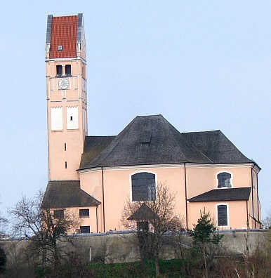
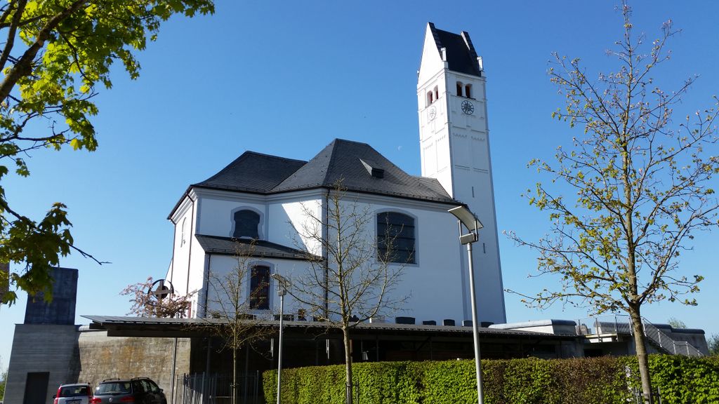
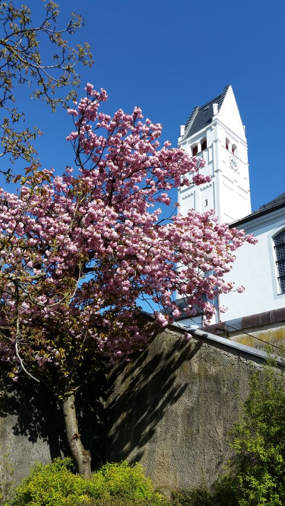
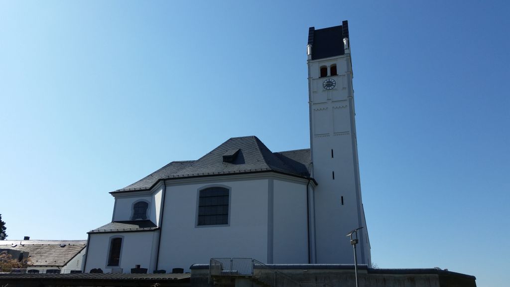
| Description | : | 85232 Bergkirchen GERMANY The Bergkirchen Community Cemetery surrounds the old St.-John-the-Baptist-Church. Like so often in Germany the cemetery and the church/chapel within have different names. Going West from Dachau you will pass by the following cemeteries: Günding , and Bergkirchen. |
frequently asked questions (FAQ):
-
Where is Gemeindefriedhof Bergkirchen?
Gemeindefriedhof Bergkirchen is located at Bergkirchen, Landkreis Dachau ,Bavaria (Bayern) ,Germany.
-
Gemeindefriedhof Bergkirchen cemetery's updated grave count on graveviews.com?
0 memorials
-
Where are the coordinates of the Gemeindefriedhof Bergkirchen?
Latitude: 48.2556114
Longitude: 11.3634996
Nearby Cemetories:
1. Friedhof Deutenhausen
Deutenhausen, Landkreis Dachau, Germany
Coordinate: 48.2630463, 11.3419781
2. Friedhof Günding
Gunding, Landkreis Dachau, Germany
Coordinate: 48.2551880, 11.3943892
3. Friedhof Unterbachern
Unterbachern, Landkreis Dachau, Germany
Coordinate: 48.2792091, 11.3841429
4. Friedhof Oberbachern
Oberbachern, Landkreis Dachau, Germany
Coordinate: 48.2828941, 11.3664398
5. Kreuzholzhausen Cemetery
Kreuzholzhausen, Landkreis Dachau, Germany
Coordinate: 48.2736397, 11.3290815
6. Neuer Friedhof Unterbachern
Unterbachern, Landkreis Dachau, Germany
Coordinate: 48.2837313, 11.3859010
7. Friedhof Palsweis
Palsweis, Landkreis Dachau, Germany
Coordinate: 48.2540016, 11.3149738
8. Friedhof Mittendorf
Mitterndorf, Landkreis Dachau, Germany
Coordinate: 48.2566414, 11.4177446
9. Puchschlagen Cemetery
Puchschlagen, Landkreis Dachau, Germany
Coordinate: 48.2897600, 11.3429900
10. Dachau Waldfriedhof
Dachau, Landkreis Dachau, Germany
Coordinate: 48.2678566, 11.4297724
11. Alter Stadtfriedhof Dachau
Dachau, Landkreis Dachau, Germany
Coordinate: 48.2615623, 11.4339352
12. Dachauer Pfarrkirche St. Jakob
Dachau, Landkreis Dachau, Germany
Coordinate: 48.2596100, 11.4346500
13. Friedhof St. Laurentius
Rumeltshausen, Landkreis Dachau, Germany
Coordinate: 48.3018740, 11.3841920
14. Gemeindefriedhof Rumelsthausen
Rumeltshausen, Landkreis Dachau, Germany
Coordinate: 48.3033578, 11.3884687
15. Eschenried Cemetery
Eschenried, Landkreis Dachau, Germany
Coordinate: 48.2162200, 11.4118400
16. Friedhof Etzenhausen
Etzenhausen, Landkreis Dachau, Germany
Coordinate: 48.2711716, 11.4381142
17. Schwabhausen Kirchfriedhof
Schwabhausen, Landkreis Dachau, Germany
Coordinate: 48.3071700, 11.3526500
18. Friedhof Pellheim
Pellheim, Landkreis Dachau, Germany
Coordinate: 48.2950821, 11.4164104
19. Alter Friedhof Olching
Olching, Landkreis Fürstenfeldbruck, Germany
Coordinate: 48.2063232, 11.3318251
20. Parkfriedhof Olching
Olching, Landkreis Fürstenfeldbruck, Germany
Coordinate: 48.2039951, 11.3374794
21. Gemeindefriedhof Pellheim
Pellheim, Landkreis Dachau, Germany
Coordinate: 48.2975338, 11.4164202
22. Schwabhausen Neuer Friedhof am Wasserturm
Schwabhausen, Landkreis Dachau, Germany
Coordinate: 48.3111900, 11.3547000
23. Pfarrfriedhof St. Peter und Paul
Oberroth, Landkreis Dachau, Germany
Coordinate: 48.3091654, 11.3282816
24. Friedhof Gernlinden
Gernlinden, Landkreis Fürstenfeldbruck, Germany
Coordinate: 48.2135150, 11.2976559