
| Memorials | : | 0 |
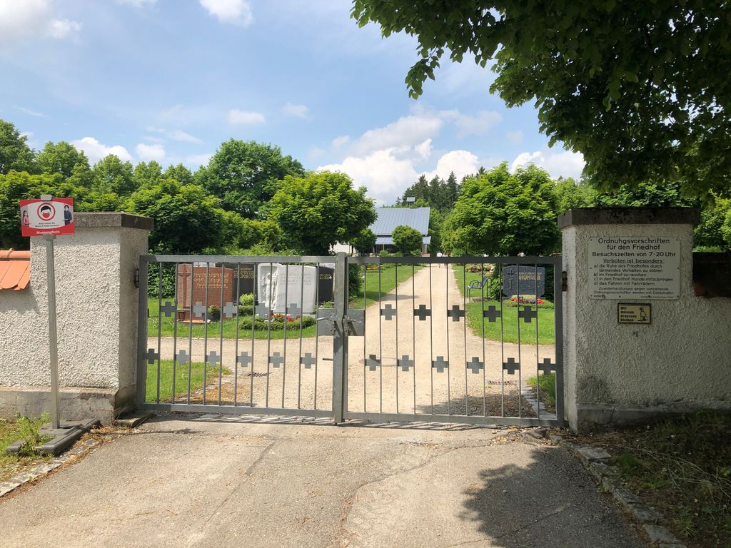
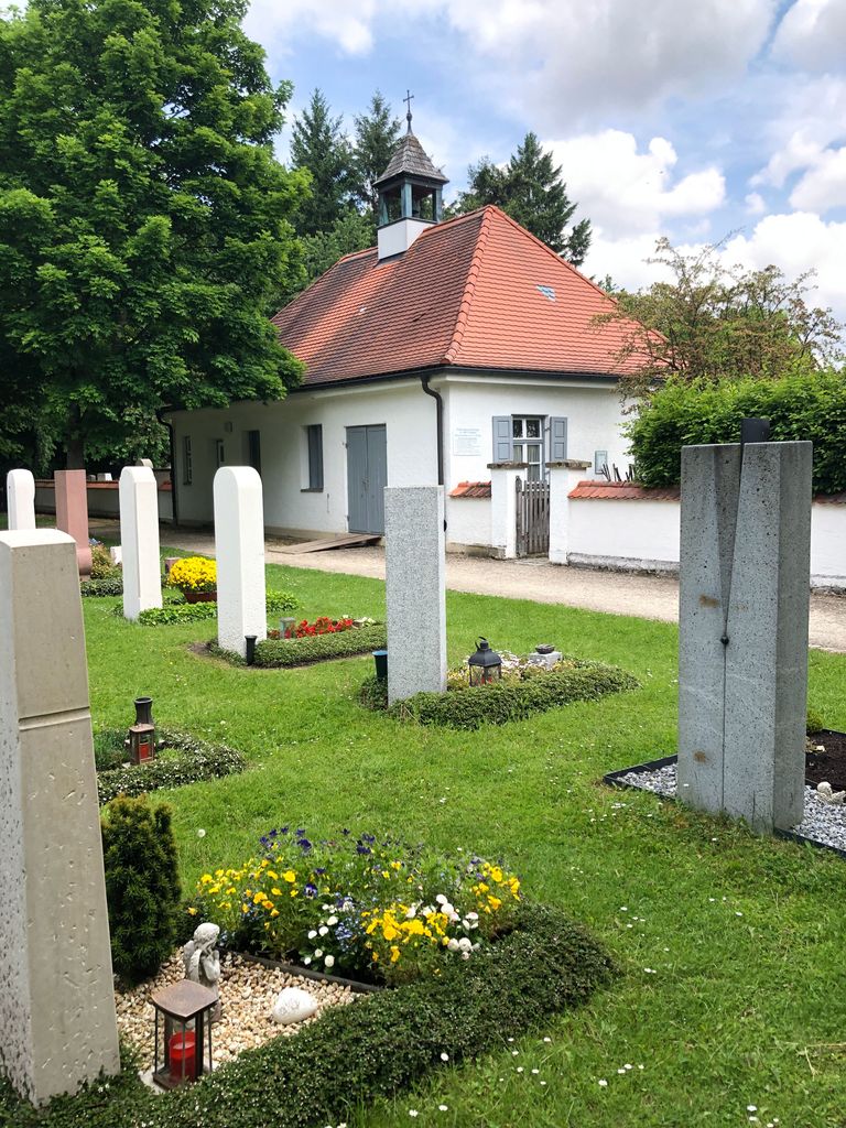
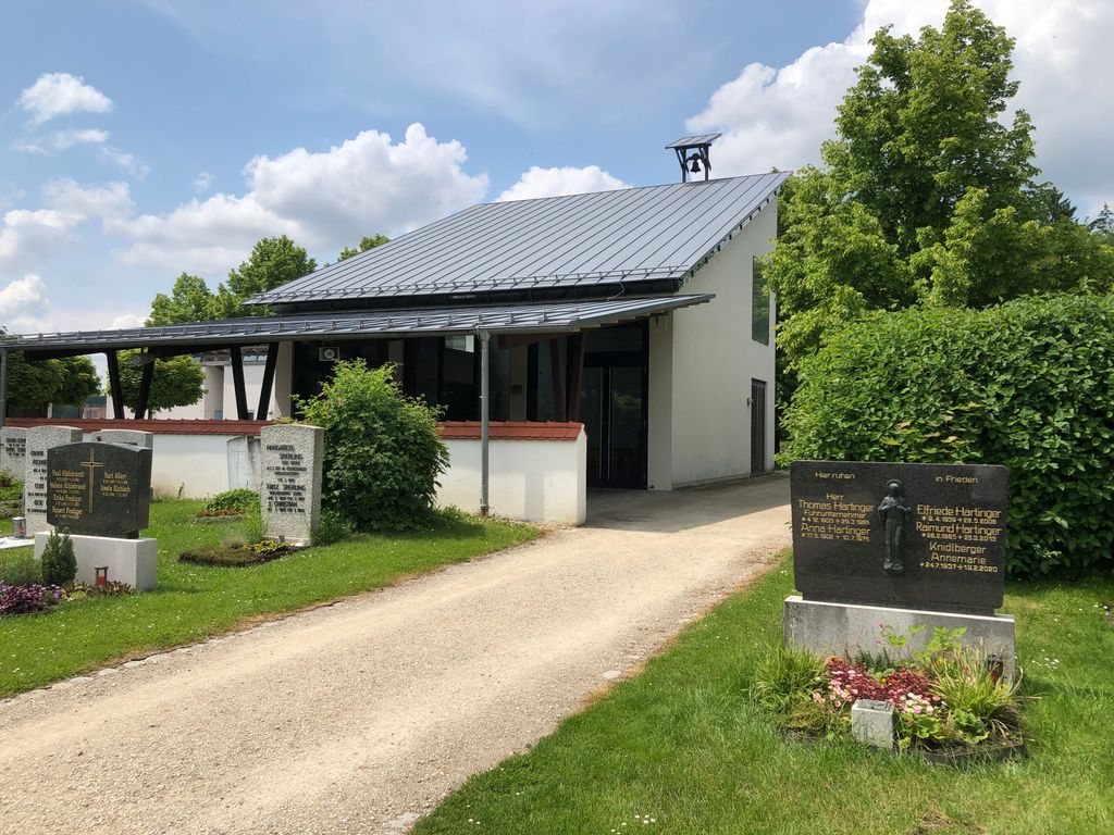
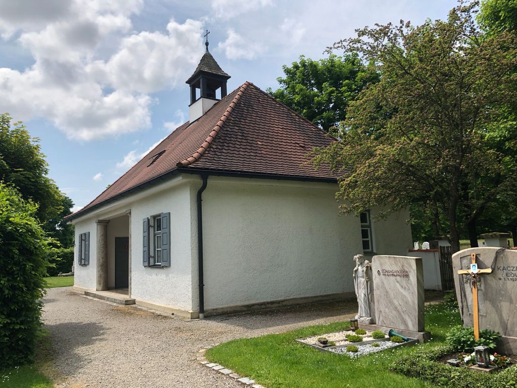
| Location | : | Taufkirchen, Landkreis Erding, Germany |
| Coordinate | : | 48.3364731, 12.1294812 |
frequently asked questions (FAQ):
-
Where is Gemeindefriedhof Taufkirchen?
Gemeindefriedhof Taufkirchen is located at Dorfener Str. 35 Taufkirchen, Landkreis Erding ,Bavaria (Bayern) , 84416Germany.
-
Gemeindefriedhof Taufkirchen cemetery's updated grave count on graveviews.com?
0 memorials
-
Where are the coordinates of the Gemeindefriedhof Taufkirchen?
Latitude: 48.3364731
Longitude: 12.1294812
Nearby Cemetories:
1. Friedhof Geislbach
Geislbach, Landkreis Erding, Germany
Coordinate: 48.3646030, 12.1647824
2. Kirchhof St. Stephanus
Inning am Holz, Landkreis Erding, Germany
Coordinate: 48.3500155, 12.0773569
3. Kirchhof St. Georg
Ottering, Landkreis Erding, Germany
Coordinate: 48.3367926, 12.0627382
4. Friedhof Dorfen
Dorfen, Landkreis Erding, Germany
Coordinate: 48.2774300, 12.1465400
5. Hörgersdorf
Hörgersdorf, Landkreis Erding, Germany
Coordinate: 48.3004700, 12.0570000
6. Kirchhof St. Stephanus
Rappoltskirchen, Landkreis Erding, Germany
Coordinate: 48.3415630, 12.0336010
7. Friedhof Hecken
Hecken, Landkreis Erding, Germany
Coordinate: 48.3260560, 11.9898930
8. Neuer Friedhof Bockhorn
Bockhorn, Landkreis Erding, Germany
Coordinate: 48.3158977, 11.9876884
9. Kirchhof Mariae Heimsuchung
Bockhorn, Landkreis Erding, Germany
Coordinate: 48.3149364, 11.9878800
10. Friedhof Kirchasch
Kirchasch, Landkreis Erding, Germany
Coordinate: 48.2887330, 11.9998490
11. Kirchenfriedhof Großschwindau
Grossschwindau, Landkreis Erding, Germany
Coordinate: 48.2315752, 12.1394149
12. Pfarrkirche St. Kastulus
Vilsheim, Landkreis Landshut, Germany
Coordinate: 48.4500000, 12.1166670
13. Friedhof Waratenberg
Wartenberg, Landkreis Erding, Germany
Coordinate: 48.4037790, 11.9896890
14. Friedhof Lohkirchen
Lohkirchen, Landkreis Erding, Germany
Coordinate: 48.3595680, 11.9502340
15. Friedhof Obertaufkirchen
Obertaufkirchen, Landkreis Mühldorf am Inn, Germany
Coordinate: 48.2625800, 12.2745900
16. Kirchhof St. Erhard
Walpertskirchen, Landkreis Erding, Germany
Coordinate: 48.2582742, 11.9765125
17. Langengeisling Kirche Friedhof
Fraunberg, Landkreis Erding, Germany
Coordinate: 48.3300600, 11.9251000
18. Gemeindefriedhof St. Paul
Erding, Landkreis Erding, Germany
Coordinate: 48.3100020, 11.9139750
19. Stadtpfarrkirche St. Johannes
Erding, Landkreis Erding, Germany
Coordinate: 48.3064500, 11.9064600
20. Altenerdinger Friedhof
Altenerding, Landkreis Erding, Germany
Coordinate: 48.2936400, 11.9053900
21. Kirchhof St. Bartholomäus
Horlkofen, Landkreis Erding, Germany
Coordinate: 48.2430309, 11.9380820
22. Gemeindefriedhof Hörlkofen
Horlkofen, Landkreis Erding, Germany
Coordinate: 48.2430525, 11.9362454
23. Städtischer Friedhof Erding
Erding, Landkreis Erding, Germany
Coordinate: 48.2928100, 11.8908300
24. Kath. Friedhof Haunzenbergersöll
Haunzenbergersoll, Landkreis Landshut, Germany
Coordinate: 48.3619737, 12.3845043