| Memorials | : | 41 |
| Location | : | Jeffersontown, Jefferson County, USA |
| Coordinate | : | 38.1959400, -85.5634600 |
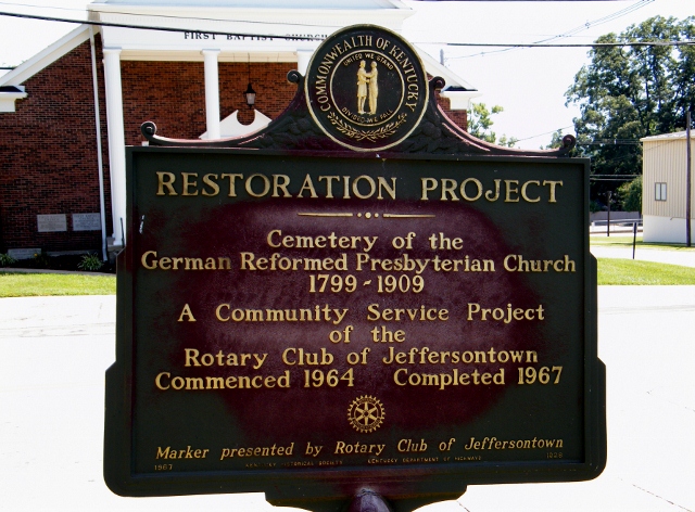
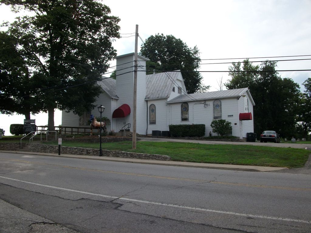
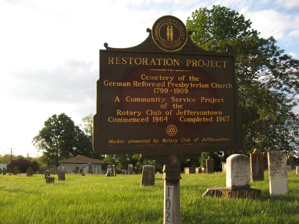
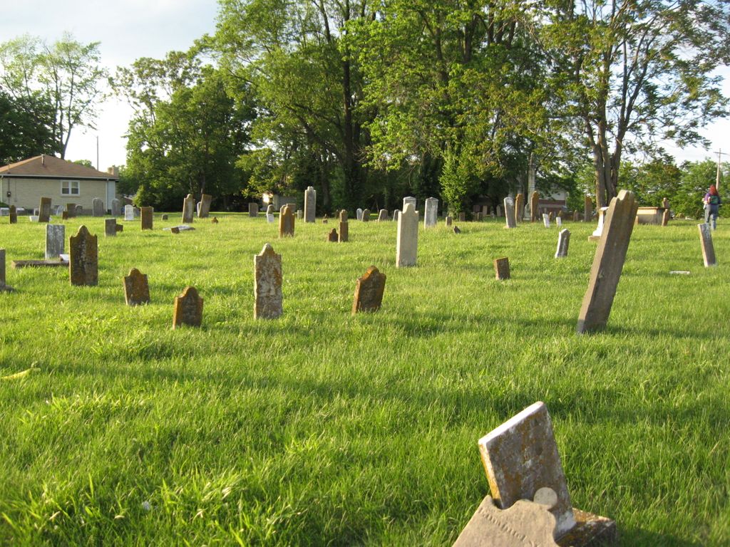
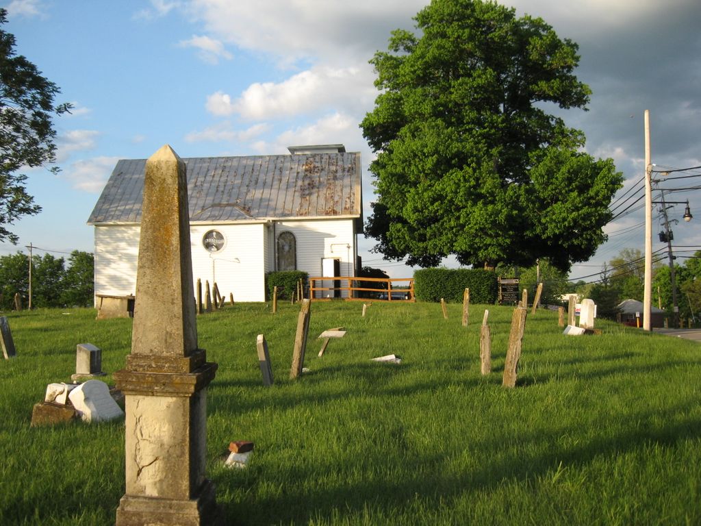
| Description | : | This cemetery is located at Shelby and Main Streets in Jeffersontown, Kentucky. The Cemetery of the German Reformed Presbyterian Church is at the corner of Watterson Trail and Shelby Street, just about a block from the main intersection of Watterson Trail and Taylorsville Road in Jeffersontown. This cemetery is very old, with graves dating from 1799. The grounds are fairly well-maintained; at least the grass is cut, although there was some trash strewn about. These old gravestones, though, are in very bad shape. Many have fallen down or are tilting precariously. Many of the gravestones are so old that the inscriptions... Read More |
frequently asked questions (FAQ):
-
Where is German Reformed Presbyterian Cemetery?
German Reformed Presbyterian Cemetery is located at Watterson Trail and Shelby Street Jeffersontown, Jefferson County ,Kentucky , 40299USA.
-
German Reformed Presbyterian Cemetery cemetery's updated grave count on graveviews.com?
39 memorials
-
Where are the coordinates of the German Reformed Presbyterian Cemetery?
Latitude: 38.1959400
Longitude: -85.5634600
Nearby Cemetories:
1. Jefferson County Poor Farm Cemetery
Jeffersontown, Jefferson County, USA
Coordinate: 38.1976420, -85.5628280
2. Jeffersontown Cemetery
Jeffersontown, Jefferson County, USA
Coordinate: 38.1922000, -85.5685000
3. Jeffersontown Christian Church Peace Garden
Jefferson County, USA
Coordinate: 38.1897710, -85.5571860
4. Country Home Cemetery
Jeffersontown, Jefferson County, USA
Coordinate: 38.2036018, -85.5591965
5. Saint Edward Catholic Cemetery
Jeffersontown, Jefferson County, USA
Coordinate: 38.1888500, -85.5693900
6. Simpson Memorial Gardens
Jeffersontown, Jefferson County, USA
Coordinate: 38.1889944, -85.5719833
7. William E. Hobbs Cemetery
Jeffersontown, Jefferson County, USA
Coordinate: 38.2068570, -85.5549620
8. Snyder Cemetery
Jeffersontown, Jefferson County, USA
Coordinate: 38.2073270, -85.5507020
9. William Tyler Cemetery
Jeffersontown, Jefferson County, USA
Coordinate: 38.1852250, -85.5393520
10. Hite Family Cemetery
Louisville, Jefferson County, USA
Coordinate: 38.1835790, -85.5867700
11. Community of Christ Scripture Garden
Forest Hills, Jefferson County, USA
Coordinate: 38.2117500, -85.5834480
12. Tyler Cemetery
Jeffersontown, Jefferson County, USA
Coordinate: 38.1876800, -85.5304900
13. Funk Cemetery
Forest Hills, Jefferson County, USA
Coordinate: 38.2153500, -85.5878160
14. Easum Family Cemetery
Jeffersontown, Jefferson County, USA
Coordinate: 38.1709590, -85.5421710
15. Orr Cemetery
Jeffersontown, Jefferson County, USA
Coordinate: 38.2150900, -85.5338200
16. Blankenbaker Family Cemetery
Jeffersontown, Jefferson County, USA
Coordinate: 38.2160100, -85.5340500
17. Blankenbeker Cemetery
Jeffersontown, Jefferson County, USA
Coordinate: 38.1995380, -85.5171550
18. Garr Family Cemetery
Louisville, Jefferson County, USA
Coordinate: 38.2319880, -85.5745940
19. Duncan Family Cemetery
Fern Creek, Jefferson County, USA
Coordinate: 38.1721230, -85.6004910
20. Chenoweth Run Cemetery
Fern Creek, Jefferson County, USA
Coordinate: 38.1563988, -85.5543976
21. Anderson Family Cemetery
Louisville, Jefferson County, USA
Coordinate: 38.2356520, -85.5775420
22. Hopewell Cemetery
Jeffersontown, Jefferson County, USA
Coordinate: 38.1862660, -85.5103680
23. Kennedy Graveyard
Louisville, Jefferson County, USA
Coordinate: 38.2261920, -85.6049040
24. Mount Zion Lutheran Cemetery
Jeffersontown, Jefferson County, USA
Coordinate: 38.2114582, -85.5049585

