
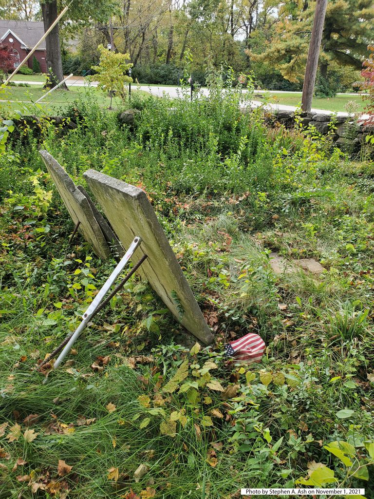
| Memorials | : | 0 |
| Location | : | Forest Hills, Jefferson County, USA |
| Coordinate | : | 38.2153500, -85.5878160 |
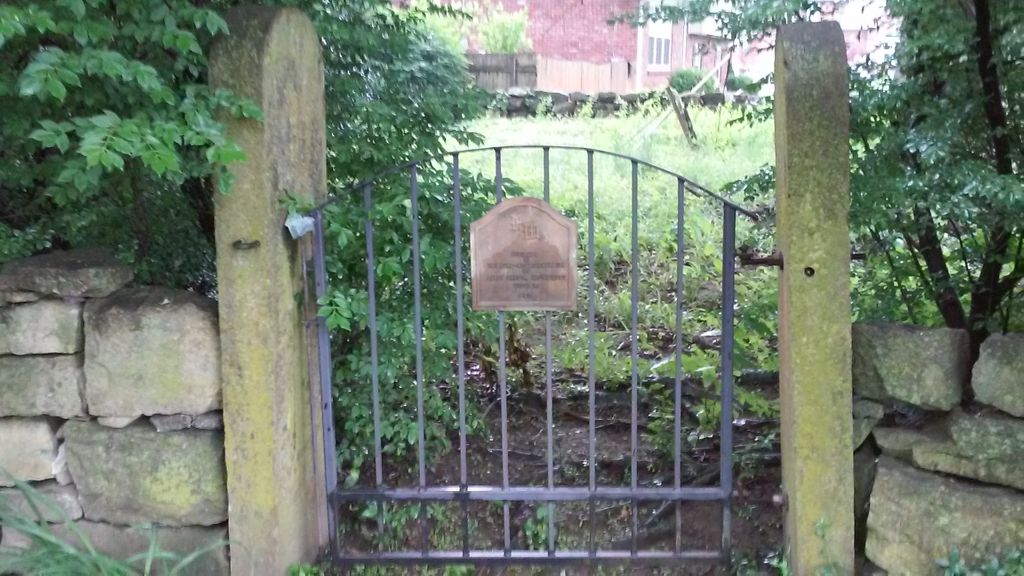
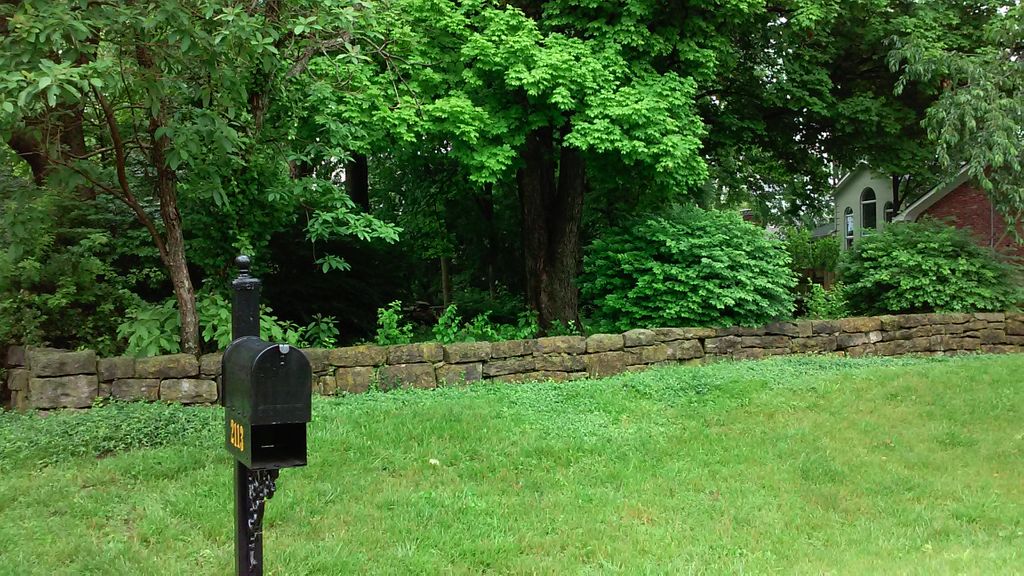
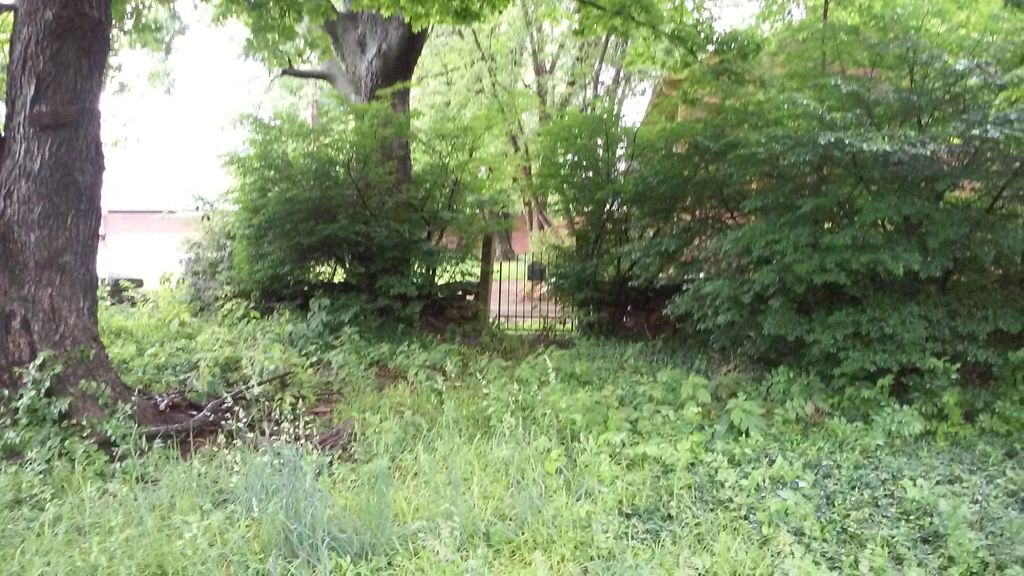
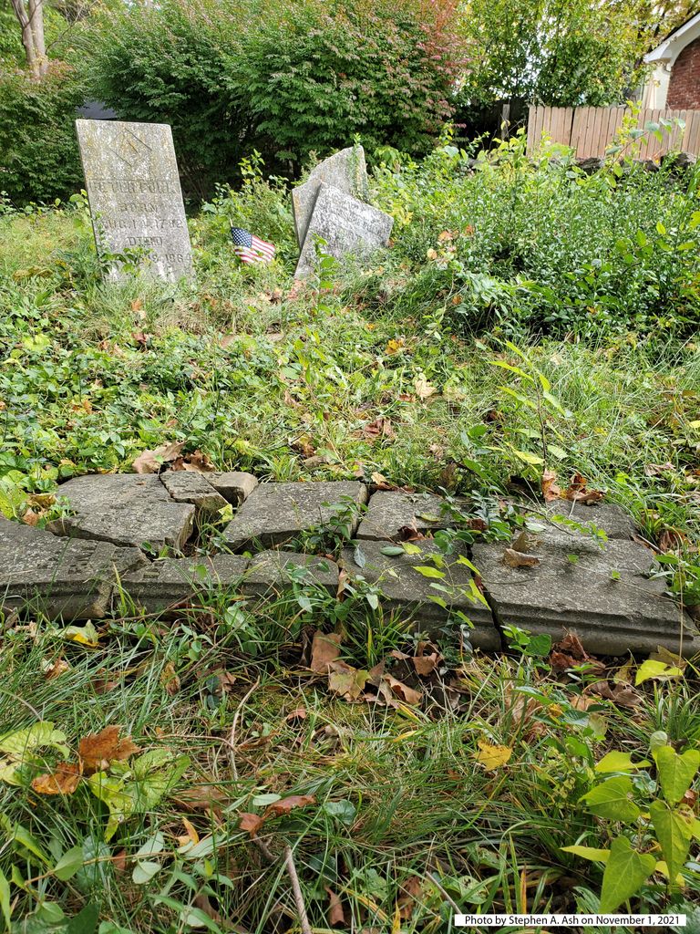
| Description | : | From the intersection of Hurstbourne Parkway and Taylorsville Road, turn onto Taylorsville Road (heading toward J-town). Axminster Drive will be on the left, across from the Taco Bell and Burger King at Stonybrook Shopping Center. You will be entering Forest Hills Subdivision. From Axminster, take the first left onto Canterbrook. The cemetery is on the right, between 2117 and 2113 Canterbrook. (submitted by Ellen White) |
frequently asked questions (FAQ):
-
Where is Funk Cemetery?
Funk Cemetery is located at 2115 Canterbrook Drive Forest Hills, Jefferson County ,Kentucky , 40299USA.
-
Funk Cemetery cemetery's updated grave count on graveviews.com?
0 memorials
-
Where are the coordinates of the Funk Cemetery?
Latitude: 38.2153500
Longitude: -85.5878160
Nearby Cemetories:
1. Community of Christ Scripture Garden
Forest Hills, Jefferson County, USA
Coordinate: 38.2117500, -85.5834480
2. Kennedy Graveyard
Louisville, Jefferson County, USA
Coordinate: 38.2261920, -85.6049040
3. Garr Family Cemetery
Louisville, Jefferson County, USA
Coordinate: 38.2319880, -85.5745940
4. Anderson Family Cemetery
Louisville, Jefferson County, USA
Coordinate: 38.2356520, -85.5775420
5. Country Home Cemetery
Jeffersontown, Jefferson County, USA
Coordinate: 38.2036018, -85.5591965
6. Jefferson County Poor Farm Cemetery
Jeffersontown, Jefferson County, USA
Coordinate: 38.1976420, -85.5628280
7. William E. Hobbs Cemetery
Jeffersontown, Jefferson County, USA
Coordinate: 38.2068570, -85.5549620
8. German Reformed Presbyterian Cemetery
Jeffersontown, Jefferson County, USA
Coordinate: 38.1959400, -85.5634600
9. Jeffersontown Cemetery
Jeffersontown, Jefferson County, USA
Coordinate: 38.1922000, -85.5685000
10. Simpson Memorial Gardens
Jeffersontown, Jefferson County, USA
Coordinate: 38.1889944, -85.5719833
11. Saint Edward Catholic Cemetery
Jeffersontown, Jefferson County, USA
Coordinate: 38.1888500, -85.5693900
12. Snyder Cemetery
Jeffersontown, Jefferson County, USA
Coordinate: 38.2073270, -85.5507020
13. Hite Family Cemetery
Louisville, Jefferson County, USA
Coordinate: 38.1835790, -85.5867700
14. Jeffersontown Christian Church Peace Garden
Jefferson County, USA
Coordinate: 38.1897710, -85.5571860
15. Lawrence Family Cemetery
Hurstbourne, Jefferson County, USA
Coordinate: 38.2515259, -85.5847015
16. Bullitt Family Cemetery
Louisville, Jefferson County, USA
Coordinate: 38.2463450, -85.6135210
17. Hikes Cemetery
Jefferson County, USA
Coordinate: 38.2129790, -85.6373220
18. Brown Family Cemetery
Saint Matthews, Jefferson County, USA
Coordinate: 38.2375660, -85.6331750
19. Blankenbaker Family Cemetery
Jeffersontown, Jefferson County, USA
Coordinate: 38.2160100, -85.5340500
20. Orr Cemetery
Jeffersontown, Jefferson County, USA
Coordinate: 38.2150900, -85.5338200
21. Duncan Family Cemetery
Fern Creek, Jefferson County, USA
Coordinate: 38.1721230, -85.6004910
22. Burks Family Cemetery
Saint Matthews, Jefferson County, USA
Coordinate: 38.2318130, -85.6408060
23. Resthaven Memorial Cemetery
Louisville, Jefferson County, USA
Coordinate: 38.1850014, -85.6342468
24. Middletown Historical Cemetery
Middletown, Jefferson County, USA
Coordinate: 38.2481750, -85.5434530