
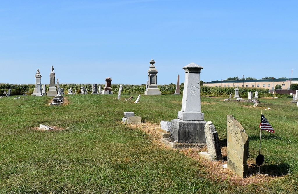
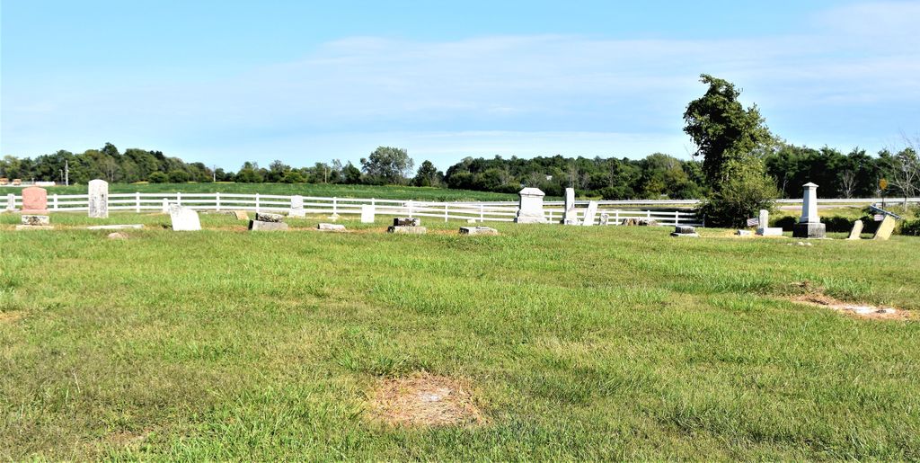
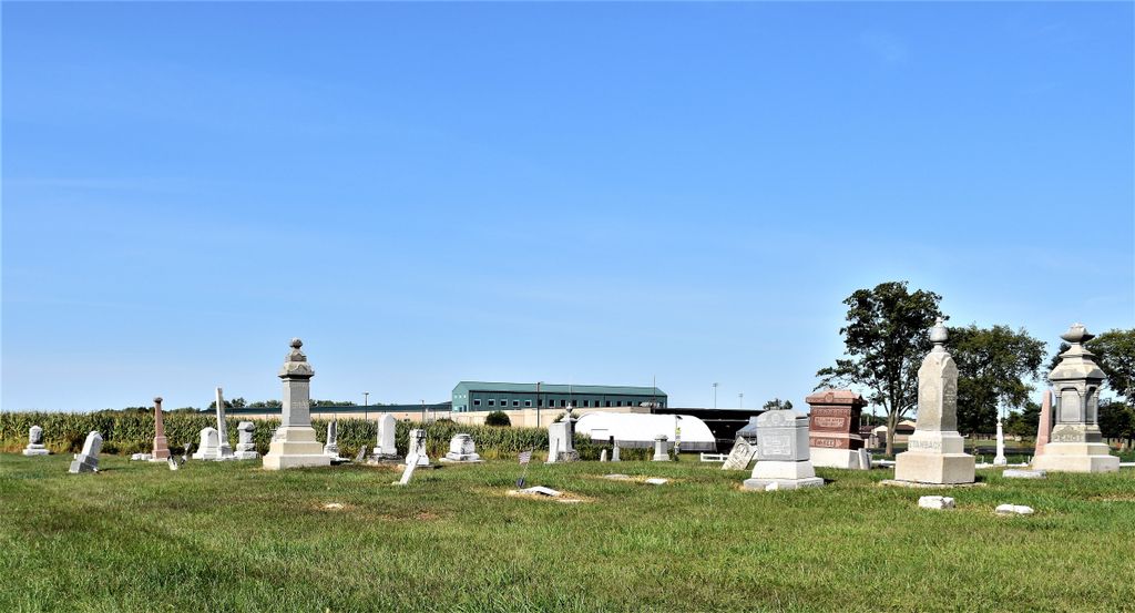
| Memorials | : | 17 |
| Location | : | Gettysburg, Preble County, USA |
| Coordinate | : | 39.8349991, -84.7232971 |
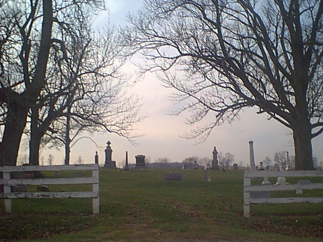
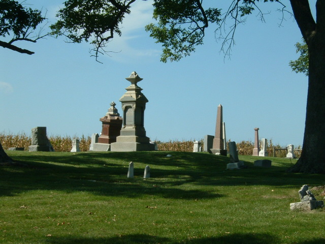
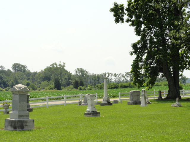
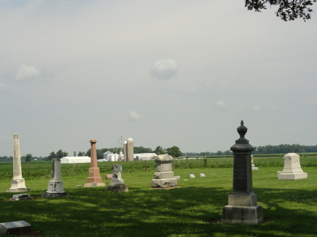
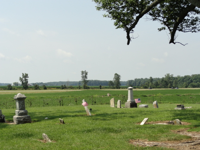
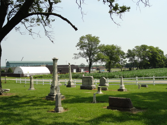
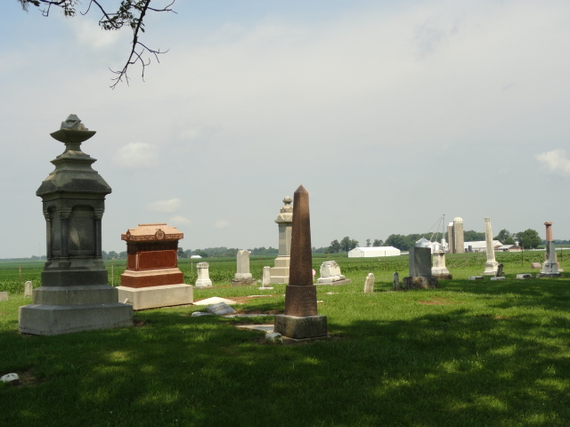
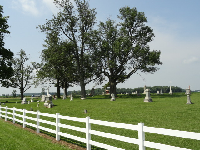
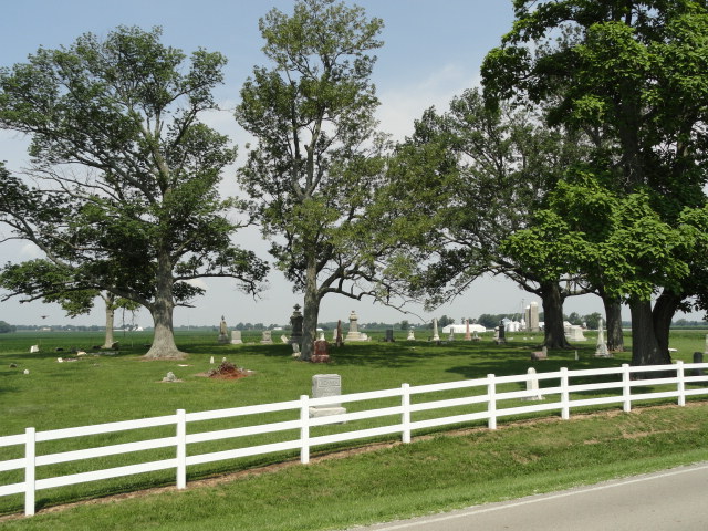
| Description | : | The cemetery is located on the west side of Oxford Gettysburg Road (County Road 10) about 0.4 miles south of its intersection with US 40. The cemetery is located in Jefferson Township, Preble County, Ohio, and is # 10010 (Gettysburg Cemetery / Curry Cemetery / National Trail Cemetery) in “Ohio Cemeteries 1803-2003”, compiled by the Ohio Genealogical Society. The cemetery is registered with the Ohio Division of Real Estate and Professional Licensing (ODRE) as National Trail Cemetery with registration license number CGR.0000980883. The U.S. Geological Survey (USGS) Geographic Names Information System (GNIS) feature ID for the cemetery is... Read More |
frequently asked questions (FAQ):
-
Where is Gettysburg Cemetery?
Gettysburg Cemetery is located at Oxford Gettysburg Road (County Road 10) Gettysburg, Preble County ,Ohio , 45347USA.
-
Gettysburg Cemetery cemetery's updated grave count on graveviews.com?
17 memorials
-
Where are the coordinates of the Gettysburg Cemetery?
Latitude: 39.8349991
Longitude: -84.7232971
Nearby Cemetories:
1. Orangeburg Cholera Cemetery
New Paris, Preble County, USA
Coordinate: 39.8319170, -84.7514870
2. Weatherly Cemetery
Preble County, USA
Coordinate: 39.8427180, -84.7605810
3. Stump Cemetery
Eldorado, Preble County, USA
Coordinate: 39.8577995, -84.6958008
4. Sherer Cemetery
Preble County, USA
Coordinate: 39.8083344, -84.6966629
5. Wolf Graveyard
New Westville, Preble County, USA
Coordinate: 39.8130850, -84.7584920
6. Old German Baptist Brethren Church Cemetery
Eldorado, Preble County, USA
Coordinate: 39.8636060, -84.6781430
7. Prices Creek German Baptist Cemetery
Hamburg, Preble County, USA
Coordinate: 39.8636017, -84.6771011
8. Wehrly Cemetery
Eldorado, Preble County, USA
Coordinate: 39.8598250, -84.6676020
9. Bonebrake Cemetery
New Hope, Preble County, USA
Coordinate: 39.7867200, -84.6999600
10. Springlawn Cemetery
New Paris, Preble County, USA
Coordinate: 39.8492012, -84.7913971
11. Old North New Paris Cemetery
New Paris, Preble County, USA
Coordinate: 39.8650840, -84.7882160
12. Westville Cemetery
New Westville, Preble County, USA
Coordinate: 39.8125000, -84.7936020
13. Old Saint John Cemetery
New Paris, Preble County, USA
Coordinate: 39.8651300, -84.7892780
14. Spacht Cemetery
Preble County, USA
Coordinate: 39.7875500, -84.6774500
15. Hamburg Cemetery
Hamburg, Preble County, USA
Coordinate: 39.8869320, -84.6791360
16. Wares Chapel Cemetery
West Manchester, Preble County, USA
Coordinate: 39.8644447, -84.6466675
17. Pleasant View Church Cemetery
Eldorado, Preble County, USA
Coordinate: 39.8860700, -84.6611710
18. Crumbaker Cemetery
Eaton, Preble County, USA
Coordinate: 39.7696730, -84.6904060
19. Frame Cemetery
Eaton, Preble County, USA
Coordinate: 39.7641560, -84.7122290
20. Monroe Cemetery
Eldorado, Preble County, USA
Coordinate: 39.8878710, -84.6562140
21. Zion Cemetery
Eaton, Preble County, USA
Coordinate: 39.8104858, -84.6306305
22. Shiloh Cemetery
Wayne County, USA
Coordinate: 39.8071175, -84.8153534
23. Smyrna Friends Cemetery
Wayne, Wayne County, USA
Coordinate: 39.8695640, -84.8208050
24. State Line Cemetery
Richmond, Wayne County, USA
Coordinate: 39.7861400, -84.8143620