| Memorials | : | 0 |
| Location | : | Gladstone, Carterton District, New Zealand |
| Coordinate | : | -41.0883600, 175.6432100 |
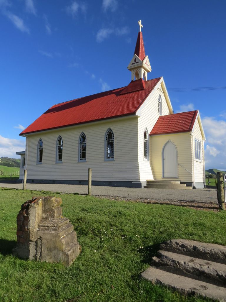
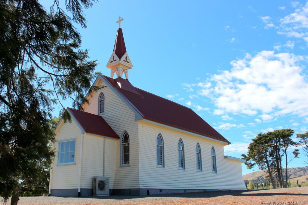
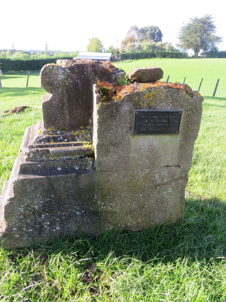
| Description | : | Gladstone Church Interdenominational Church. The original church built in 1904, was damaged in the 1942 earthquake. All that remains of the original church are the steps and the cornice. There is evidence of other burials. |
frequently asked questions (FAQ):
-
Where is Gladstone Church Cemetery?
Gladstone Church Cemetery is located at Gladstone, Carterton District ,Wellington ,New Zealand.
-
Gladstone Church Cemetery cemetery's updated grave count on graveviews.com?
0 memorials
-
Where are the coordinates of the Gladstone Church Cemetery?
Latitude: -41.0883600
Longitude: 175.6432100
Nearby Cemetories:
1. Waipopo Urupā
Masterton, Masterton District, New Zealand
Coordinate: -41.0696370, 175.6604430
2. Waipoapoa Urupa
Hastings, Hastings District, New Zealand
Coordinate: -41.0696050, 175.6604650
3. Hurunui-o-rangi
Masterton, Masterton District, New Zealand
Coordinate: -41.0709670, 175.6200720
4. Hamuera Urupā
Masterton District, New Zealand
Coordinate: -41.0374980, 175.6611940
5. Oates Family Cemetery
Carterton, Carterton District, New Zealand
Coordinate: -41.0453670, 175.5683580
6. Te Uru o Tane Urupā
Greytown, South Wairarapa District, New Zealand
Coordinate: -41.0570790, 175.4947740
7. Clareville Cemetery
Clareville, Carterton District, New Zealand
Coordinate: -40.9981070, 175.5459540
8. Papawai Urupā
Greytown, South Wairarapa District, New Zealand
Coordinate: -41.0985090, 175.4892270
9. Riverside Cemetery
Masterton, Masterton District, New Zealand
Coordinate: -40.9621550, 175.6722690
10. Archer Street Cemetery
Masterton, Masterton District, New Zealand
Coordinate: -40.9538900, 175.6683800
11. Masterton War Memorial
Masterton, Masterton District, New Zealand
Coordinate: -40.9501290, 175.6648800
12. Ahi pane pane Urupā
Masterton, Masterton District, New Zealand
Coordinate: -40.9524060, 175.6902370
13. Greytown Cemetery
Greytown, South Wairarapa District, New Zealand
Coordinate: -41.0920470, 175.4401160
14. Te Ahitainga Urupā
Masterton, Masterton District, New Zealand
Coordinate: -40.9393000, 175.7030750
15. Akura Urupā
Masterton, Masterton District, New Zealand
Coordinate: -40.9314120, 175.6349090
16. Martinborough Cemetery
Martinborough, South Wairarapa District, New Zealand
Coordinate: -41.2158720, 175.4722330
17. Waihenga Cemetery
Martinborough, South Wairarapa District, New Zealand
Coordinate: -41.2176230, 175.4528540
18. Featherston Soldiers Cemetery
Featherston, South Wairarapa District, New Zealand
Coordinate: -41.1212630, 175.3147170
19. Featherston Cemetery
Featherston, South Wairarapa District, New Zealand
Coordinate: -41.1217800, 175.3144160
20. Scandinavian Camp Cemetery
Kopuaranga, Masterton District, New Zealand
Coordinate: -40.8345650, 175.6643220
21. Pukio Cemetery
Kahutara, South Wairarapa District, New Zealand
Coordinate: -41.2460220, 175.3603000
22. Taupare Urupā
Homewood, Masterton District, New Zealand
Coordinate: -41.1717200, 175.9813100
23. Church of St Francis of Assisi
Bideford, Masterton District, New Zealand
Coordinate: -40.8592400, 175.8714600
24. Mauriceville West Cemetery
Mauriceville West, Masterton District, New Zealand
Coordinate: -40.7670300, 175.6799680


