
| Memorials | : | 2 |
| Location | : | Mansonville, Estrie Region, Canada |
| Phone | : | 450-292-3250 |
| Coordinate | : | 45.0570400, -72.3920900 |
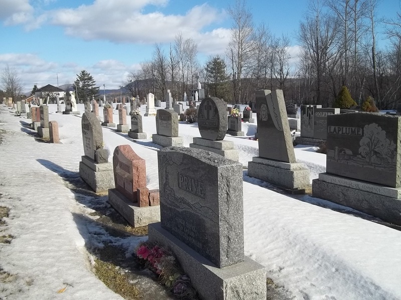
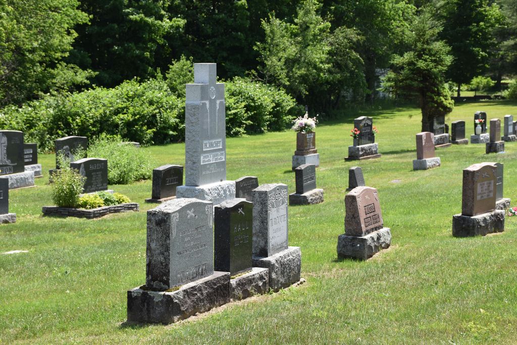
| Description | : | When in Mansonville on Rue Principale (RTE 243) at the intersection of Chem. West Hill, drive south for only 60 meters. It will be on your left directly across the street from the Mansonville Protestant Cemetery. |
frequently asked questions (FAQ):
-
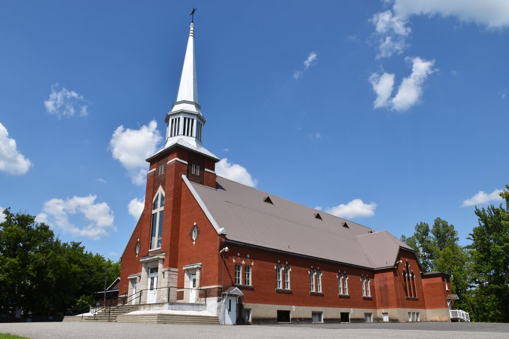
Where is Cimetière Saint-Cajetan?
Cimetière Saint-Cajetan is located at Rue Principale (RTE 243) Mansonville, Estrie Region ,Quebec , J0E 1X0Canada.
-
Cimetière Saint-Cajetan cemetery's updated grave count on graveviews.com?
2 memorials
-
Where are the coordinates of the Cimetière Saint-Cajetan?
Latitude: 45.0570400
Longitude: -72.3920900

Nearby Cemetories:
1. Mansonville Protestant Cemetery
Mansonville, Estrie Region, Canada
Coordinate: 45.0572500, -72.3923800
2. Chapel Hill Cemetery
Mansonville, Estrie Region, Canada
Coordinate: 45.0493470, -72.4129620
3. Miltimore Cemetery
Mansonville, Estrie Region, Canada
Coordinate: 45.0396531, -72.4131703
4. Blanchard Family Cemetery
Potton, Estrie Region, Canada
Coordinate: 45.0968370, -72.3947780
5. Elkins Cemetery
Mansonville, Estrie Region, Canada
Coordinate: 45.0184720, -72.4083890
6. Gilman-Sargent Campground Cemetery
Potton, Estrie Region, Canada
Coordinate: 45.0317500, -72.4374100
7. Province Hill Cemetery
Potton, Estrie Region, Canada
Coordinate: 45.0131860, -72.3725550
8. Cimetière de la Ste-Transfiguration
Mansonville, Estrie Region, Canada
Coordinate: 45.0106890, -72.3957750
9. Ruiter Settlement Cemetery
Dunkin, Estrie Region, Canada
Coordinate: 45.0523600, -72.4696000
10. Cimetière Owl's Head
Potton, Estrie Region, Canada
Coordinate: 45.0510620, -72.3073590
11. North Troy Cemetery
North Troy, Orleans County, USA
Coordinate: 44.9931300, -72.3857300
12. Notre Dame Cemetery
North Troy, Orleans County, USA
Coordinate: 44.9926700, -72.3835200
13. Brock Memorial Park
Glen Sutton, Monteregie Region, Canada
Coordinate: 45.0466300, -72.5087100
14. Leadville Cemetery
Leadville, Estrie Region, Canada
Coordinate: 45.0134290, -72.2733450
15. Jay Center Cemetery
Jay, Orleans County, USA
Coordinate: 44.9632492, -72.4436951
16. Knowlton Maplehurst Farm Cemetery
Knowlton Landing, Estrie Region, Canada
Coordinate: 45.1506647, -72.2954754
17. MacPherson Cemetery
Georgeville, Estrie Region, Canada
Coordinate: 45.1183900, -72.2520300
18. Glenbrook Cemetery
Knowlton Landing, Estrie Region, Canada
Coordinate: 45.1643380, -72.3069160
19. West Jay Cemetery
Jay, Orleans County, USA
Coordinate: 44.9968990, -72.5509210
20. Bullock Cemetery
Georgeville, Estrie Region, Canada
Coordinate: 45.1433600, -72.2497700
21. Lake Road Cemetery
Newport, Orleans County, USA
Coordinate: 44.9703800, -72.2469900
22. Apple Grove Cemetery
Applegrove, Estrie Region, Canada
Coordinate: 45.0815100, -72.1985800
23. Cimetière Saint-Benoît du Lac
Saint-Benoît-du-Lac, Estrie Region, Canada
Coordinate: 45.1676110, -72.2721660
24. Marlington Cemetery
Marlington, Estrie Region, Canada
Coordinate: 45.0430700, -72.1958800