
| Memorials | : | 0 |
| Location | : | Grayson County, USA |
| Coordinate | : | 33.8008990, -96.6642650 |
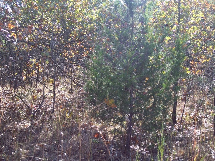
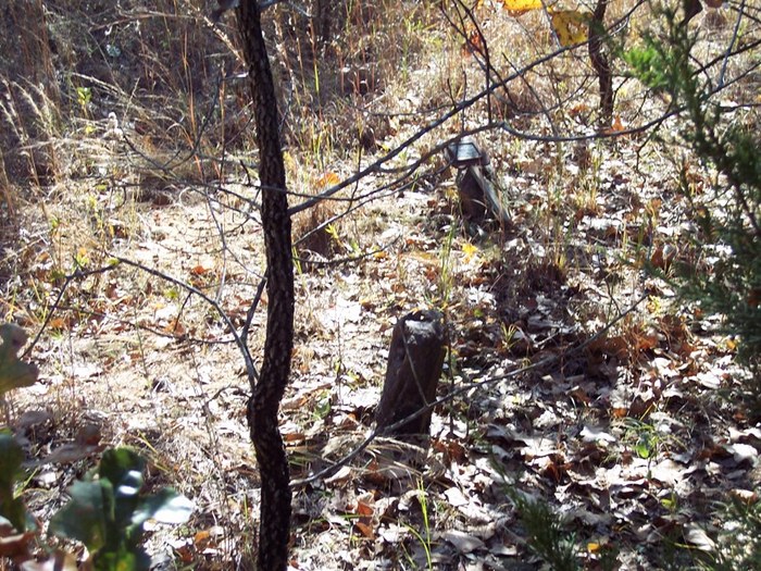
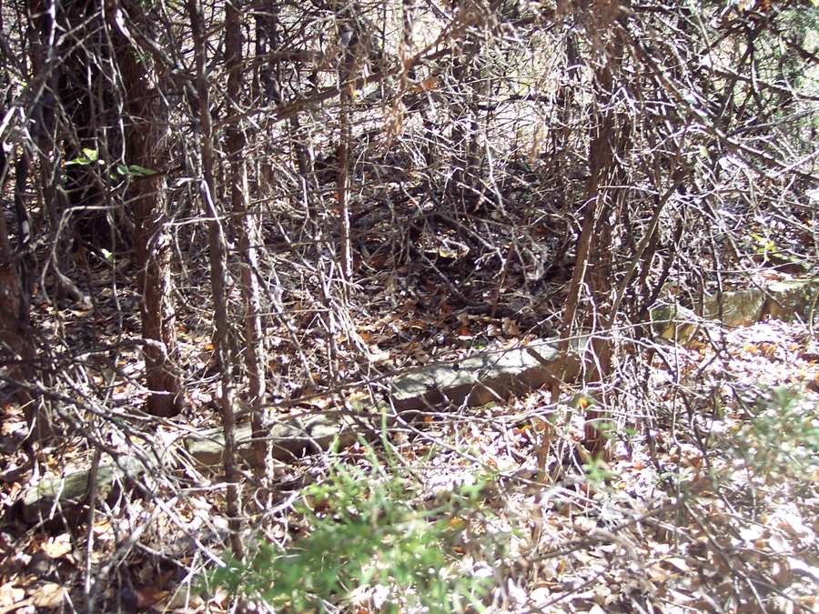
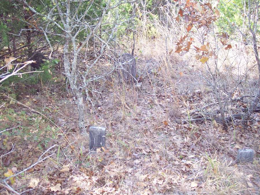
| Description | : | Government cemetery was created circa 1942 when Lake Texoma was built. The people buried here were moved from another cemetery which is now under the Lake. There are several Funeral markers which simply state Unknown. The cemetery is very grown up and there are several unmarked graves. By: Dusty Williams |
frequently asked questions (FAQ):
-
Where is Government Cemetery?
Government Cemetery is located at Grayson County ,Texas ,USA.
-
Government Cemetery cemetery's updated grave count on graveviews.com?
0 memorials
-
Where are the coordinates of the Government Cemetery?
Latitude: 33.8008990
Longitude: -96.6642650
Nearby Cemetories:
1. Georgetown Cemetery
Pottsboro, Grayson County, USA
Coordinate: 33.7872009, -96.6877975
2. Black Family Cemetery
Pottsboro, Grayson County, USA
Coordinate: 33.7962400, -96.7164700
3. Holder Cemetery
Denison, Grayson County, USA
Coordinate: 33.7646820, -96.6271480
4. Brogdon Cemetery
Grayson County, USA
Coordinate: 33.8087130, -96.7244060
5. Massey-Steel Cemetery
Preston, Grayson County, USA
Coordinate: 33.8517820, -96.6803960
6. Campbell Family Cemetery
Grayson County, USA
Coordinate: 33.7499540, -96.6368960
7. Mayrant Cemetery
Grayson County, USA
Coordinate: 33.8752800, -96.6520600
8. Potts Slave Cemetery
Pottsboro, Grayson County, USA
Coordinate: 33.8770870, -96.6526780
9. Coffman-Layne Cemetery
Denison, Grayson County, USA
Coordinate: 33.7672800, -96.5799500
10. Hagerman Cemetery
Pottsboro, Grayson County, USA
Coordinate: 33.7543983, -96.7435989
11. Enterprise Cemetery
Pottsboro, Grayson County, USA
Coordinate: 33.7230988, -96.6988983
12. Lark Cemetery
Kingston, Marshall County, USA
Coordinate: 33.8492012, -96.7455978
13. Preston Bend Cemetery
Pottsboro, Grayson County, USA
Coordinate: 33.8822098, -96.6345367
14. Clark Cemetery
Denison, Grayson County, USA
Coordinate: 33.7477510, -96.5807460
15. Locust Cemetery
Pottsboro, Grayson County, USA
Coordinate: 33.8046350, -96.7706880
16. Magnolia Cemetery
Grayson County, USA
Coordinate: 33.7714500, -96.5630569
17. Fairview Cemetery
Denison, Grayson County, USA
Coordinate: 33.7714005, -96.5575027
18. Yarbrough Cemetery
Bryan County, USA
Coordinate: 33.8656006, -96.5824966
19. Shannon Family Cemetery
Denison, Grayson County, USA
Coordinate: 33.7565600, -96.5623900
20. Keirsey Cemetery
Sherman, Grayson County, USA
Coordinate: 33.6949997, -96.6575012
21. Paradise Cove Cemetery
Locust, Grayson County, USA
Coordinate: 33.7945560, -96.7924690
22. Loftin-McLain Cemetery
Denison, Grayson County, USA
Coordinate: 33.7143600, -96.5835100
23. Calvary Cemetery
Denison, Grayson County, USA
Coordinate: 33.7729900, -96.5317400
24. Iron Ore Cemetery
Denison, Grayson County, USA
Coordinate: 33.7102750, -96.5810680