| Memorials | : | 4 |
| Location | : | Kingston, Marshall County, USA |
| Coordinate | : | 33.8492012, -96.7455978 |
frequently asked questions (FAQ):
-
Where is Lark Cemetery?
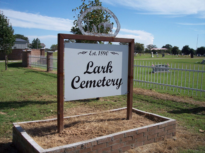
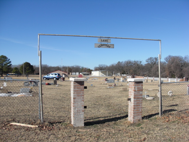
Lark Cemetery is located at Kingston, Marshall County ,Oklahoma ,USA.
-
Lark Cemetery cemetery's updated grave count on graveviews.com?
4 memorials
-
Where are the coordinates of the Lark Cemetery?
Latitude: 33.8492012
Longitude: -96.7455978
Nearby Cemetories:
1. Brogdon Cemetery
Grayson County, USA
Coordinate: 33.8087130, -96.7244060
2. Locust Cemetery
Pottsboro, Grayson County, USA
Coordinate: 33.8046350, -96.7706880
3. Massey-Steel Cemetery
Preston, Grayson County, USA
Coordinate: 33.8517820, -96.6803960
4. Black Family Cemetery
Pottsboro, Grayson County, USA
Coordinate: 33.7962400, -96.7164700
5. Cedar Mills Cemetery
Cedar Mills, Grayson County, USA
Coordinate: 33.8316400, -96.8176600
6. Johnson Cemetery
Grayson County, USA
Coordinate: 33.8544510, -96.8223380
7. Noel Cemetery
Grayson County, USA
Coordinate: 33.8592550, -96.8246660
8. Paradise Cove Cemetery
Locust, Grayson County, USA
Coordinate: 33.7945560, -96.7924690
9. Georgetown Cemetery
Pottsboro, Grayson County, USA
Coordinate: 33.7872009, -96.6877975
10. Willis Cemetery
Willis, Marshall County, USA
Coordinate: 33.8849800, -96.8341400
11. Mayrant Cemetery
Grayson County, USA
Coordinate: 33.8752800, -96.6520600
12. Potts Slave Cemetery
Pottsboro, Grayson County, USA
Coordinate: 33.8770870, -96.6526780
13. Government Cemetery
Grayson County, USA
Coordinate: 33.8008990, -96.6642650
14. Shay Cemetery
Shay, Marshall County, USA
Coordinate: 33.9281006, -96.7780991
15. Hagerman Cemetery
Pottsboro, Grayson County, USA
Coordinate: 33.7543983, -96.7435989
16. Shires Cemetery
Grayson County, USA
Coordinate: 33.7762220, -96.8200210
17. Preston Bend Cemetery
Pottsboro, Grayson County, USA
Coordinate: 33.8822098, -96.6345367
18. Isom Springs Cemetery
McBride, Marshall County, USA
Coordinate: 33.9289017, -96.6727982
19. Gordonville Cemetery
Gordonville, Grayson County, USA
Coordinate: 33.7956800, -96.8479200
20. Liberty Cemetery
Gordonville, Grayson County, USA
Coordinate: 33.8328018, -96.8675003
21. Shelton Cemetery
Basin Springs, Grayson County, USA
Coordinate: 33.7567300, -96.8050700
22. Woodville Cemetery
McBride, Marshall County, USA
Coordinate: 33.9392014, -96.6369019
23. Holder Cemetery
Denison, Grayson County, USA
Coordinate: 33.7646820, -96.6271480
24. Hainline Cemetery
McBride, Marshall County, USA
Coordinate: 33.9444300, -96.6392400


