
| Memorials | : | 0 |
| Location | : | Bryan County, USA |
| Coordinate | : | 33.8656006, -96.5824966 |
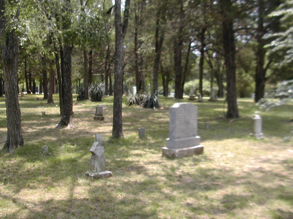
| Description | : | Yarbrough Cemetery is located in Section 16, Township 8 South, Range 7 East in Marshall County, Oklahoma. During the construction of Lake Texoma, many small cemeteries were relocated. Yarbrough Cemetery contains burials from a number of these cemeteries. They include: James Cemetery - Section 29, Township 6 South, Range 7 East near Aylesworth Krause Family Cemetery - Section 15, Township 6 South, Range 7 East, near Aylesworth Unnamed Cemetery - Located on land belonging to Walker Hunt near Colbert Unnamed Cemetery - Section 17, Township 8 South, Range 7 East, near Colbert |
frequently asked questions (FAQ):
-
Where is Yarbrough Cemetery?
Yarbrough Cemetery is located at Bryan County ,Oklahoma ,USA.
-
Yarbrough Cemetery cemetery's updated grave count on graveviews.com?
0 memorials
-
Where are the coordinates of the Yarbrough Cemetery?
Latitude: 33.8656006
Longitude: -96.5824966
Nearby Cemetories:
1. Sandy Cemetery
Cartwright, Bryan County, USA
Coordinate: 33.8694010, -96.5529860
2. Preston Bend Cemetery
Pottsboro, Grayson County, USA
Coordinate: 33.8822098, -96.6345367
3. Mayrant Cemetery
Grayson County, USA
Coordinate: 33.8752800, -96.6520600
4. Potts Slave Cemetery
Pottsboro, Grayson County, USA
Coordinate: 33.8770870, -96.6526780
5. Colbert Garden of Memory Cemetery
Colbert, Bryan County, USA
Coordinate: 33.8638992, -96.5093994
6. Platter Cemetery
Platter, Bryan County, USA
Coordinate: 33.9253006, -96.5317001
7. Kingston Rural Cemetery
Kingston, Marshall County, USA
Coordinate: 33.9335814, -96.6189436
8. Old Woodville Cemetery
McBride, Marshall County, USA
Coordinate: 33.9343300, -96.6195300
9. Eastside Cemetery
Colbert, Bryan County, USA
Coordinate: 33.8438300, -96.4924400
10. Massey-Steel Cemetery
Preston, Grayson County, USA
Coordinate: 33.8517820, -96.6803960
11. Woodville Cemetery
McBride, Marshall County, USA
Coordinate: 33.9392014, -96.6369019
12. Hainline Cemetery
McBride, Marshall County, USA
Coordinate: 33.9444300, -96.6392400
13. Love Cemetery
Bryan County, USA
Coordinate: 33.9522018, -96.5449982
14. Government Cemetery
Grayson County, USA
Coordinate: 33.8008990, -96.6642650
15. Magnolia Cemetery
Grayson County, USA
Coordinate: 33.7714500, -96.5630569
16. Fairview Cemetery
Denison, Grayson County, USA
Coordinate: 33.7714005, -96.5575027
17. Isom Springs Cemetery
McBride, Marshall County, USA
Coordinate: 33.9289017, -96.6727982
18. Coffman-Layne Cemetery
Denison, Grayson County, USA
Coordinate: 33.7672800, -96.5799500
19. Calvary Cemetery
Denison, Grayson County, USA
Coordinate: 33.7729900, -96.5317400
20. Holder Cemetery
Denison, Grayson County, USA
Coordinate: 33.7646820, -96.6271480
21. Franklin Cemetery
Bryan County, USA
Coordinate: 33.9636002, -96.5222015
22. Shannon Family Cemetery
Denison, Grayson County, USA
Coordinate: 33.7565600, -96.5623900
23. Oakwood Cemetery
Denison, Grayson County, USA
Coordinate: 33.7614600, -96.5290500
24. Georgetown Cemetery
Pottsboro, Grayson County, USA
Coordinate: 33.7872009, -96.6877975