
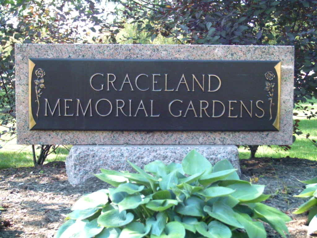
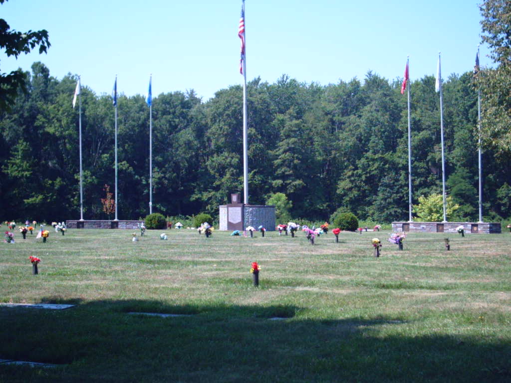
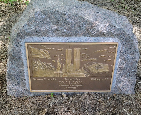
| Memorials | : | 9268 |
| Location | : | Milford, Clermont County, USA |
| Phone | : | (513) 575-0001 |
| Website | : | bsggraceland.com |
| Coordinate | : | 39.1963997, -84.1999969 |
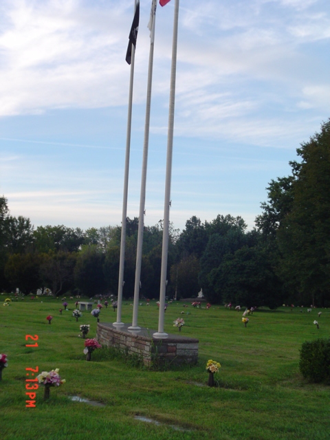
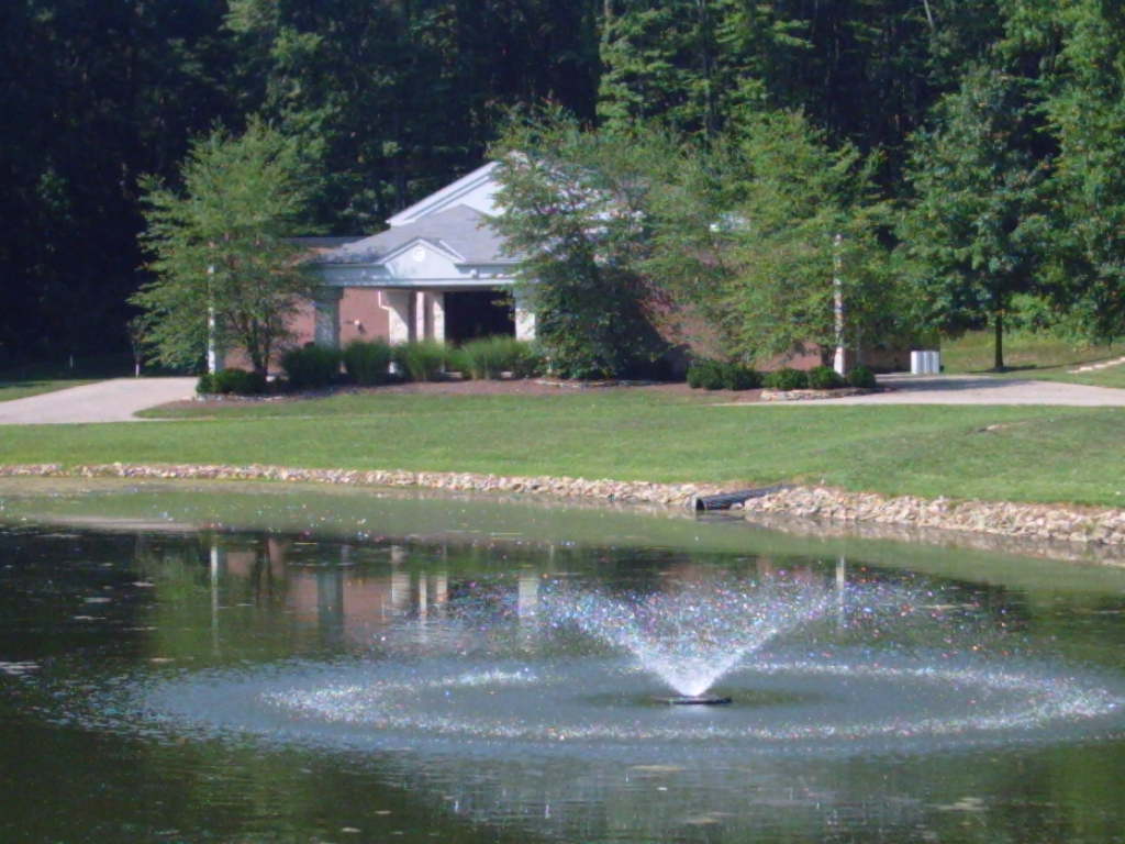
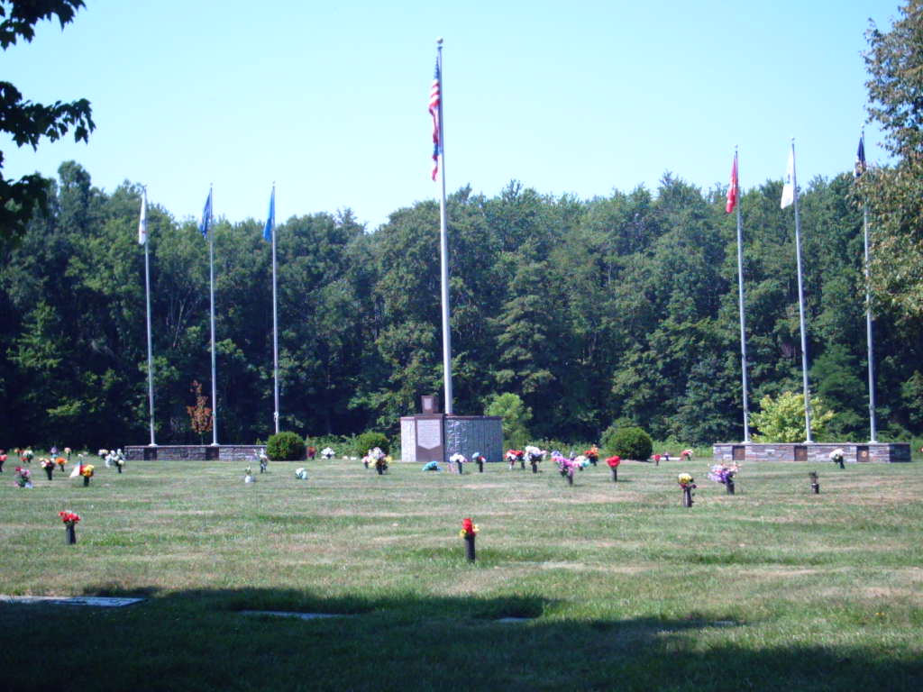
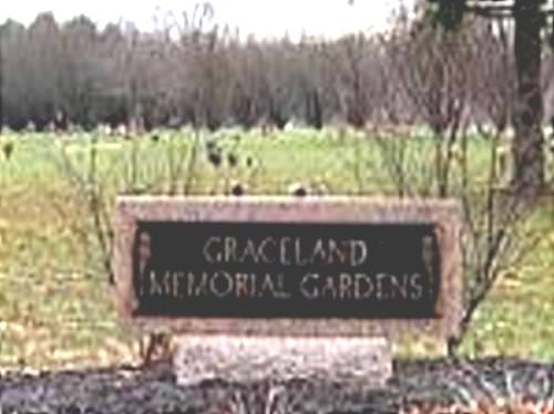
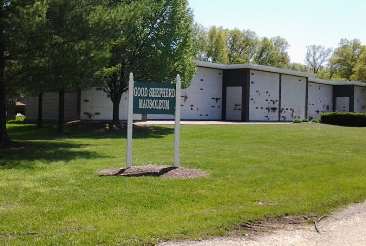
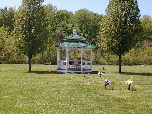
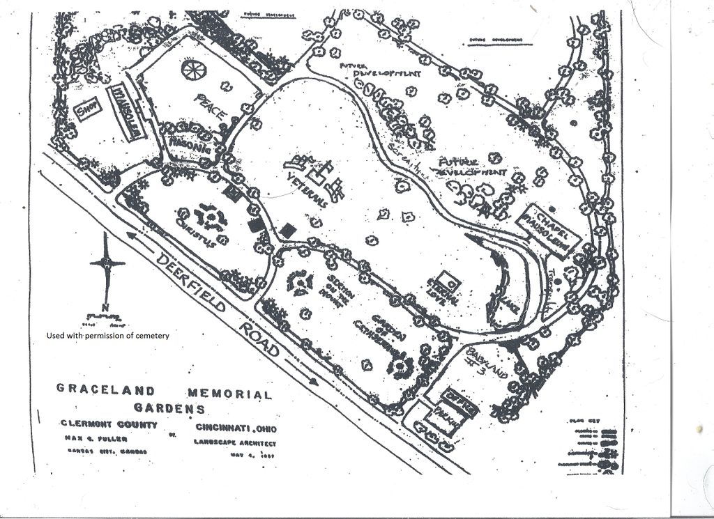
| Description | : | The cemetery was established in 1959 and is over 100 acres in extent. The cemetery is located in Miami Township, Clermont County, Ohio, and is # 14484 (Graceland Memorial Gardens Cemetery) in “Ohio Cemeteries 1803-2003”, compiled by the Ohio Genealogical Society. The cemetery is registered with the Ohio Division of Real Estate and Professional Licensing (ODRE) as Graceland Memorial Gardens with registration license number CRC.0000981573. The U.S. Geological Survey (USGS) Geographic Names Information System (GNIS) feature ID for the cemetery is 1041011 (Graceland Memorial Gardens). |
frequently asked questions (FAQ):
-
Where is Graceland Memorial Gardens?
Graceland Memorial Gardens is located at 5989 Deerfield Road Milford, Clermont County ,Ohio , 45150USA.
-
Graceland Memorial Gardens cemetery's updated grave count on graveviews.com?
9259 memorials
-
Where are the coordinates of the Graceland Memorial Gardens?
Latitude: 39.1963997
Longitude: -84.1999969

Nearby Cemetories:
1. Myers Cemetery
Goshen, Clermont County, USA
Coordinate: 39.2236900, -84.1836300
2. Mount Zion Cemetery
Craver, Clermont County, USA
Coordinate: 39.1613464, -84.1940231
3. Mulberry Cemetery
Milford, Clermont County, USA
Coordinate: 39.1947784, -84.2469864
4. Hill Family Cemetery
Stonelick, Clermont County, USA
Coordinate: 39.1622490, -84.1826090
5. Union Cemetery
Branch Hill, Clermont County, USA
Coordinate: 39.2152850, -84.2409180
6. Irwin Cemetery
Goshen, Clermont County, USA
Coordinate: 39.2176850, -84.1543670
7. Simpkins Family Cemetery
Williams Corners, Clermont County, USA
Coordinate: 39.1733900, -84.1532700
8. Goshen Cemetery
Goshen, Clermont County, USA
Coordinate: 39.2377300, -84.1579100
9. Olive Cemetery
Stonelick Township, Clermont County, USA
Coordinate: 39.1563988, -84.1552963
10. Brown Family Cemetery
Top-of-the-Ridge, Clermont County, USA
Coordinate: 39.1968980, -84.2695320
11. Ranson Family Cemetery
Top-of-the-Ridge, Clermont County, USA
Coordinate: 39.2077220, -84.2719890
12. Concord Methodist Episcopal Cemetery
Sundale, Clermont County, USA
Coordinate: 39.2318820, -84.2599380
13. Jewish Cemeteries of Greater Cincinnati – Loveland
Loveland, Clermont County, USA
Coordinate: 39.2281970, -84.2641830
14. Stouder Cemetery
Goshen Township, Clermont County, USA
Coordinate: 39.2312700, -84.1335700
15. Greenlawn Cemetery
Milford, Clermont County, USA
Coordinate: 39.1706009, -84.2758026
16. Rapp Cemetery
Belfast, Clermont County, USA
Coordinate: 39.1434900, -84.1529200
17. Perintown United Methodist Church Cemetery
Perintown, Clermont County, USA
Coordinate: 39.1374512, -84.2339783
18. Plainview Cemetery
Newtonsville, Clermont County, USA
Coordinate: 39.1796989, -84.1177979
19. Prickett Cemetery
Newtonsville, Clermont County, USA
Coordinate: 39.1756700, -84.1188800
20. Paxton Cemetery
Loveland, Clermont County, USA
Coordinate: 39.2549000, -84.2433500
21. Shumard Cemetery
Stonelick, Clermont County, USA
Coordinate: 39.1685000, -84.1202500
22. Waldschmidt Cemetery
Camp Dennison, Hamilton County, USA
Coordinate: 39.1944900, -84.2882200
23. Saint Philomena Church Cemetery
Stonelick Township, Clermont County, USA
Coordinate: 39.1277618, -84.1848450
24. Round Bottom Road Cemetery
Perintown, Clermont County, USA
Coordinate: 39.1400170, -84.2568330