
| Memorials | : | 69 |
| Location | : | Miami, Ottawa County, USA |
| Website | : | garcemeterymiamiok.com/ |
| Coordinate | : | 36.9108009, -94.8796997 |
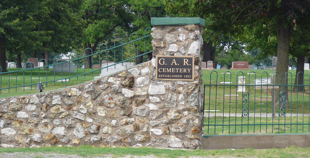
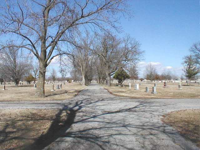
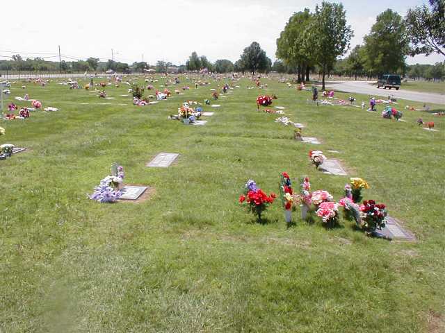
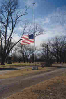
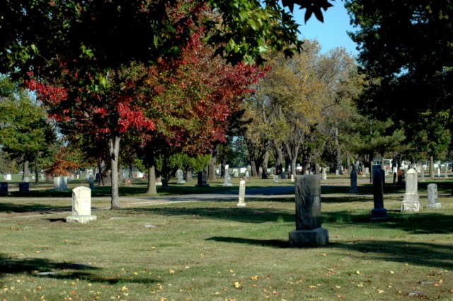
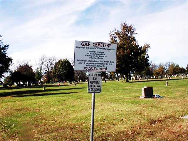
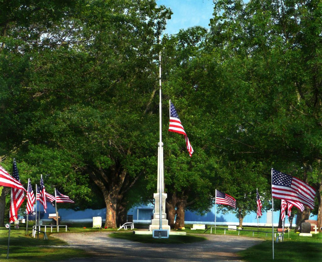
| Description | : | The Grand Army of the Republic (G.A.R.) Cemetery is located on the west side of U.S. HWY 69 (Historic U.S. Route 66) on the northside of Miami, Oklahoma. The G.A.R Cemetery has over 22,000 burials in its beautifully maintained 86 acres. The cemetery is owned and operated by the City of Miami, Oklahoma. The Cemetery’s website includes a Burial Search feature that provides the description of the grave locations and a map with GPS directions to assist in locating burial sites, as well as a feature that allows family and friends to upload photos, videos, and documents to... Read More |
frequently asked questions (FAQ):
-
Where is Grand Army of the Republic Cemetery?
Grand Army of the Republic Cemetery is located at Miami, Ottawa County ,Oklahoma ,USA.
-
Grand Army of the Republic Cemetery cemetery's updated grave count on graveviews.com?
60 memorials
-
Where are the coordinates of the Grand Army of the Republic Cemetery?
Latitude: 36.9108009
Longitude: -94.8796997

Nearby Cemetories:
1. Northeastern Oklahoma Veterans Memorial Cemetery
Commerce, Ottawa County, USA
Coordinate: 36.9268400, -94.8818300
2. All Saints' Garden of the Good Shepherd
Miami, Ottawa County, USA
Coordinate: 36.8780800, -94.8798100
3. Quapaw's Cemetery
Quapaw, Ottawa County, USA
Coordinate: 36.9190800, -94.8245000
4. Williams Coal Creek Cemetery
Miami, Ottawa County, USA
Coordinate: 36.8624550, -94.9207590
5. Glen Abbey Memorial Gardens
Miami, Ottawa County, USA
Coordinate: 36.8717003, -94.8242035
6. Lock Family Cemetery
Cardin, Ottawa County, USA
Coordinate: 36.9730988, -94.9385986
7. Myaamia Heritage Cemetery
Miami, Ottawa County, USA
Coordinate: 36.9737410, -94.9401350
8. Ottawa County Cemetery
Miami, Ottawa County, USA
Coordinate: 36.8339390, -94.9047930
9. Peery Cemetery
Ottawa County, USA
Coordinate: 36.9043999, -94.7780991
10. Hudson Creek Cemetery
Fairland, Ottawa County, USA
Coordinate: 36.8190000, -94.8401000
11. Ottawa Indian Cemetery
Miami, Ottawa County, USA
Coordinate: 36.8511920, -94.7814020
12. Beaver-Buergey Cemetery
Lincolnville, Ottawa County, USA
Coordinate: 36.9288292, -94.7569046
13. Quapaw Family Cemetery
Lincolnville, Ottawa County, USA
Coordinate: 36.9296532, -94.7567368
14. Saint Marys Quapaw Cemetery
Ottawa County, USA
Coordinate: 36.9325400, -94.7543400
15. Williams Timberhill Cemetery
Welch, Craig County, USA
Coordinate: 36.8810997, -95.0033035
16. Nidiffer Cemetery
Narcissa, Ottawa County, USA
Coordinate: 36.8068540, -94.8762310
17. Stafford-Shapp Memorial Cemetery
Ottawa County, USA
Coordinate: 36.9373130, -94.7537270
18. Griffin Cemetery
Ottawa County, USA
Coordinate: 36.9353485, -94.7471237
19. Peoria Indian Cemetery
Peoria, Ottawa County, USA
Coordinate: 36.9143982, -94.7416992
20. LaFelier Family Cemetery
Ottawa County, USA
Coordinate: 36.9693440, -95.0126680
21. Berry-Connor Cemetery
Moreville, Ottawa County, USA
Coordinate: 36.7966100, -94.8060700
22. Greenlawn Cemetery
Columbus, Cherokee County, USA
Coordinate: 37.0446600, -94.8823900
23. Bland Cemetery
Wyandotte, Ottawa County, USA
Coordinate: 36.8208008, -94.7538986
24. Hoffman-Quapaw Family Cemetery
Ottawa County, USA
Coordinate: 36.9425200, -94.7118800