
| Memorials | : | 0 |
| Location | : | Ottawa County, USA |
| Coordinate | : | 36.9353485, -94.7471237 |
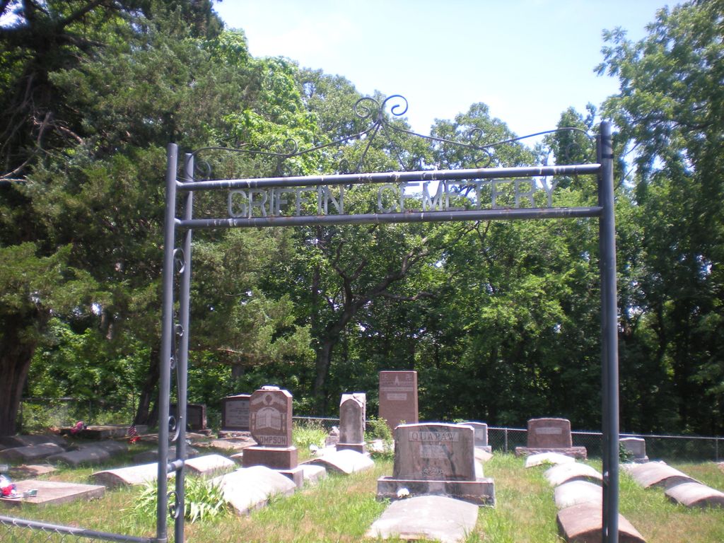
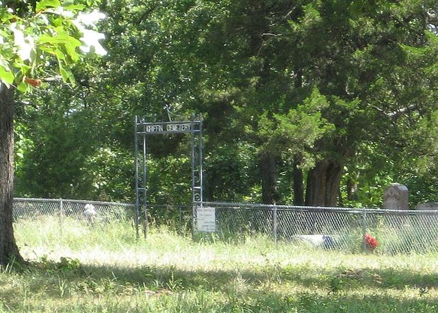
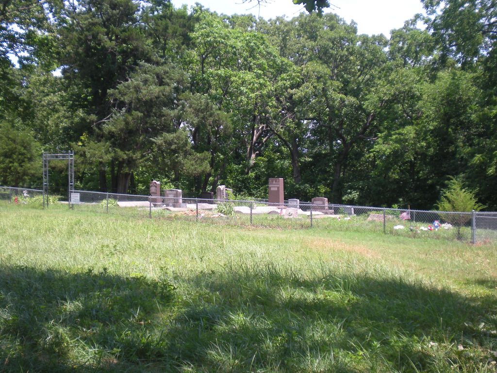
| Description | : | Griffin Cemetery is located north of E57 on a hill overlooking Spring River. This is just before you cross the bridge at Lover's Leap. The cemetery is fenced and there are "Keep Out" signs and a closed gate at the entrance lane. The cemetery appeared to be badly in need of mowing when I viewed it from the gate. |
frequently asked questions (FAQ):
-
Where is Griffin Cemetery?
Griffin Cemetery is located at Ottawa County ,Oklahoma ,USA.
-
Griffin Cemetery cemetery's updated grave count on graveviews.com?
0 memorials
-
Where are the coordinates of the Griffin Cemetery?
Latitude: 36.9353485
Longitude: -94.7471237
Nearby Cemetories:
1. Stafford-Shapp Memorial Cemetery
Ottawa County, USA
Coordinate: 36.9373130, -94.7537270
2. Saint Marys Quapaw Cemetery
Ottawa County, USA
Coordinate: 36.9325400, -94.7543400
3. Quapaw Family Cemetery
Lincolnville, Ottawa County, USA
Coordinate: 36.9296532, -94.7567368
4. Beaver-Buergey Cemetery
Lincolnville, Ottawa County, USA
Coordinate: 36.9288292, -94.7569046
5. Peoria Indian Cemetery
Peoria, Ottawa County, USA
Coordinate: 36.9143982, -94.7416992
6. Hoffman-Quapaw Family Cemetery
Ottawa County, USA
Coordinate: 36.9425200, -94.7118800
7. Peery Cemetery
Ottawa County, USA
Coordinate: 36.9043999, -94.7780991
8. Beattie Family Cemetery
Quapaw, Ottawa County, USA
Coordinate: 36.9583028, -94.6838727
9. Green Family Cemetery
Quapaw, Ottawa County, USA
Coordinate: 36.9690100, -94.6853800
10. Quapaw's Cemetery
Quapaw, Ottawa County, USA
Coordinate: 36.9190800, -94.8245000
11. Newman Cemetery
Ottawa County, USA
Coordinate: 36.9752998, -94.6761017
12. Pence Cemetery
Baxter Springs, Cherokee County, USA
Coordinate: 37.0128100, -94.6936900
13. Ottawa Indian Cemetery
Miami, Ottawa County, USA
Coordinate: 36.8511920, -94.7814020
14. Glen Abbey Memorial Gardens
Miami, Ottawa County, USA
Coordinate: 36.8717003, -94.8242035
15. Modoc Cemetery
Ottawa County, USA
Coordinate: 36.8652800, -94.6632300
16. Baxter Springs Cemetery
Baxter Springs, Cherokee County, USA
Coordinate: 37.0318985, -94.7696991
17. Baxter Springs City Cemetery Soldiers' Lot
Baxter Springs, Cherokee County, USA
Coordinate: 37.0320810, -94.7706520
18. Northeastern Oklahoma Veterans Memorial Cemetery
Commerce, Ottawa County, USA
Coordinate: 36.9268400, -94.8818300
19. Hodgkiss Cemetery
Wyandotte Township, Ottawa County, USA
Coordinate: 36.8380731, -94.6874302
20. Grand Army of the Republic Cemetery
Miami, Ottawa County, USA
Coordinate: 36.9108009, -94.8796997
21. Lowell Cemetery
Lowell, Cherokee County, USA
Coordinate: 37.0388985, -94.7007980
22. Burson Cemetery
Seneca, Newton County, USA
Coordinate: 36.9110985, -94.6113968
23. Ferris Cemetery
Baxter Springs, Cherokee County, USA
Coordinate: 37.0459160, -94.7726380
24. Bland Cemetery
Wyandotte, Ottawa County, USA
Coordinate: 36.8208008, -94.7538986