
| Memorials | : | 0 |
| Location | : | Springfield, Greene County, USA |
| Coordinate | : | 37.1729400, -93.3255300 |
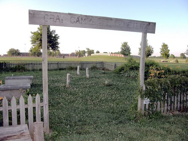
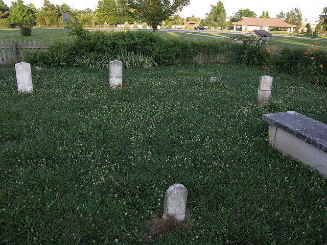
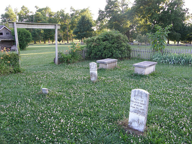
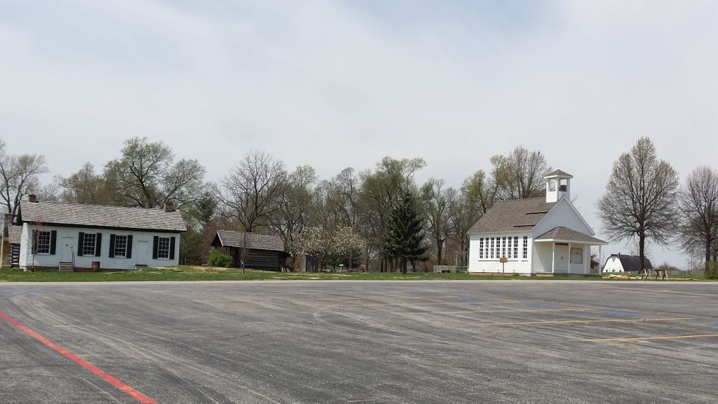
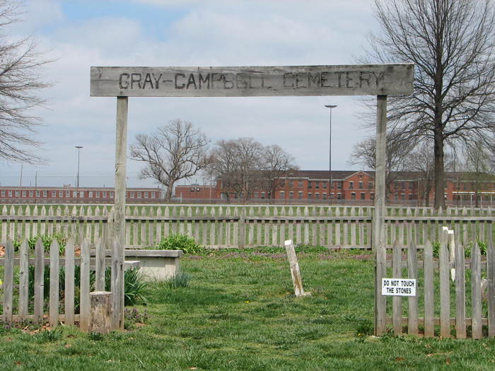
| Description | : | Gray/Campbell Farmstead (circa 1856) 2400 South Scenic Avenue Springfield, MO 65803 417-881-3066 Once the home of John Polk Campbell, the nephew of the founder of Springfield, this farmstead includes the historic house, two crib barns, the family cemetery, a log granary, and a detached log kitchen. Costumed guides tell the history of the farmstead. The known as the Yarbrough Cemetery are still visible today. |
frequently asked questions (FAQ):
-
Where is Gray-Campbell Cemetery?
Gray-Campbell Cemetery is located at Springfield, Greene County ,Missouri ,USA.
-
Gray-Campbell Cemetery cemetery's updated grave count on graveviews.com?
0 memorials
-
Where are the coordinates of the Gray-Campbell Cemetery?
Latitude: 37.1729400
Longitude: -93.3255300
Nearby Cemetories:
1. Rountree Cemetery
Springfield, Greene County, USA
Coordinate: 37.1913532, -93.3367156
2. Rose Cemetery
Springfield, Greene County, USA
Coordinate: 37.1851470, -93.3462860
3. Redeemer Lutheran Church Columbarium
Springfield, Greene County, USA
Coordinate: 37.1625700, -93.3012600
4. Saint Marys Cemetery
Springfield, Greene County, USA
Coordinate: 37.2038994, -93.3249969
5. Payne Cemetery
Springfield, Greene County, USA
Coordinate: 37.1516113, -93.3547516
6. Russell and Ringenberg Cemetery
Springfield, Greene County, USA
Coordinate: 37.1695200, -93.3651580
7. Payne Family Cemeteru
Springfield, Greene County, USA
Coordinate: 37.1515046, -93.3550087
8. Maple Park Cemetery
Springfield, Greene County, USA
Coordinate: 37.1944008, -93.2921982
9. Hampton Cemetery
Springfield, Greene County, USA
Coordinate: 37.1568298, -93.3744202
10. Yarbrough Cemetery
Greene County, USA
Coordinate: 37.1314011, -93.3106003
11. Carmelite Monastery Cemetery
Springfield, Greene County, USA
Coordinate: 37.1396103, -93.2893677
12. Keet Burial
Springfield, Greene County, USA
Coordinate: 37.2069190, -93.2883940
13. Norman Cemetery
Battlefield, Greene County, USA
Coordinate: 37.1394420, -93.3649380
14. Christ Episcopal Church Columbarium
Springfield, Greene County, USA
Coordinate: 37.2071800, -93.2862800
15. Temple Israel Cemetery
Springfield, Greene County, USA
Coordinate: 37.1730995, -93.2664032
16. Hazelwood Cemetery
Springfield, Greene County, USA
Coordinate: 37.1707993, -93.2647018
17. McElhaney Cemetery
Republic, Greene County, USA
Coordinate: 37.1425896, -93.3742294
18. Springfield National Cemetery
Springfield, Greene County, USA
Coordinate: 37.1730995, -93.2636032
19. Gorman and Scharpf Mortuary Columbarium
Springfield, Greene County, USA
Coordinate: 37.1746900, -93.2593800
20. Phillips Cemetery
Battlefield, Greene County, USA
Coordinate: 37.1281013, -93.3694000
21. Kirkwood Cemetery
Greene County, USA
Coordinate: 37.1744003, -93.2517014
22. Kings Way Garden Columbarium
Springfield, Greene County, USA
Coordinate: 37.1691500, -93.2474500
23. Fielder Langston Cemetery
Springfield, Greene County, USA
Coordinate: 37.1873700, -93.2479700
24. Saint James Episcopal Church Columbarium
Springfield, Greene County, USA
Coordinate: 37.1704300, -93.2428700