
| Memorials | : | 0 |
| Location | : | Grassy Lick, Montgomery County, USA |
| Coordinate | : | 38.0886110, -84.0363890 |
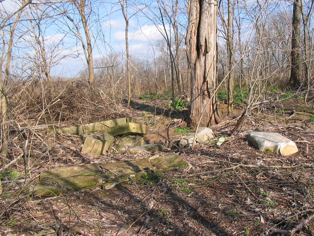
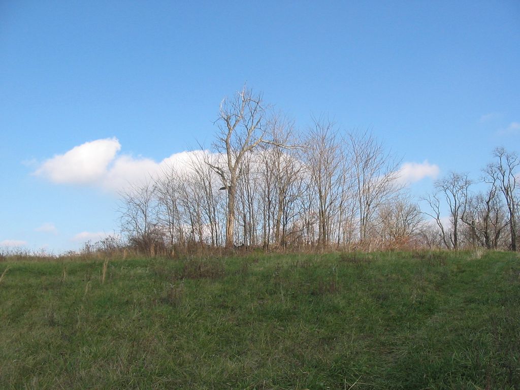
| Description | : | Directions: From the Grassy Lick Church, take the Donaldson road for 0.9 mile. Turn right at the Kline residence and follow the road up the hill past the barn to the cemetery. Remarks: Cemetery sits way back off the road in an overgrown patch of trees in a field. There are several graves that are not marked. |
frequently asked questions (FAQ):
-
Where is Greene Cemetery?
Greene Cemetery is located at Donaldson Road Grassy Lick, Montgomery County ,Kentucky ,USA.
-
Greene Cemetery cemetery's updated grave count on graveviews.com?
0 memorials
-
Where are the coordinates of the Greene Cemetery?
Latitude: 38.0886110
Longitude: -84.0363890
Nearby Cemetories:
1. Greene Cemetery
Montgomery County, USA
Coordinate: 38.0777780, -84.0383330
2. Grassy Lick Cemetery
Grassy Lick, Montgomery County, USA
Coordinate: 38.0802780, -84.0227780
3. Nelson and Domigan Cemetery
Grassy Lick, Montgomery County, USA
Coordinate: 38.0835910, -84.0010590
4. Morton Slave Burial Grounds
Grassy Lick, Montgomery County, USA
Coordinate: 38.0553200, -84.0248100
5. Morton Cemetery
Grassy Lick, Montgomery County, USA
Coordinate: 38.0544600, -84.0254500
6. Butler-Gaitskill Cemetery
Mount Sterling, Montgomery County, USA
Coordinate: 38.1253130, -84.0437150
7. Mark Cemetery
Montgomery County, USA
Coordinate: 38.1252780, -84.0522220
8. Hodge Cemetery
Clark County, USA
Coordinate: 38.0472221, -84.0416641
9. Wade Cemetery
Bourbon County, USA
Coordinate: 38.1183319, -84.0808334
10. Caywood Cemetery
Montgomery County, USA
Coordinate: 38.1300011, -83.9966660
11. Ferguson Cemetery
Grassy Lick, Montgomery County, USA
Coordinate: 38.0680560, -83.9750000
12. Masterson Cemetery
Judy, Montgomery County, USA
Coordinate: 38.1278990, -83.9882750
13. Holladay and Thornton Cemetery
Judy, Montgomery County, USA
Coordinate: 38.1272220, -83.9850000
14. Fawns Cemetery
Mount Sterling, Montgomery County, USA
Coordinate: 38.1047597, -83.9660666
15. Davis Cemetery
Montgomery County, USA
Coordinate: 38.0281150, -84.0374490
16. French Cemetery
Montgomery County, USA
Coordinate: 38.0289001, -84.0092010
17. Bethel Cemetery
North Middletown, Bourbon County, USA
Coordinate: 38.1394005, -84.0847015
18. Bunker Hill Burial Ground
Judy, Montgomery County, USA
Coordinate: 38.1536110, -84.0141670
19. Saint Thomas Cemetery
Mount Sterling, Montgomery County, USA
Coordinate: 38.0710983, -83.9483032
20. Bivin Family Cemetery
North Middletown, Bourbon County, USA
Coordinate: 38.1595400, -84.0531500
21. Hathaway Cemetery
Montgomery County, USA
Coordinate: 38.1259820, -83.9574340
22. Prewitt Cemetery
Montgomery County, USA
Coordinate: 38.0222015, -83.9981003
23. Civil War Cemetery
Montgomery County, USA
Coordinate: 38.0561110, -83.9505560
24. Daniel Cemetery
Mount Sterling, Montgomery County, USA
Coordinate: 38.0666670, -83.9452780