
| Memorials | : | 0 |
| Location | : | Montgomery County, USA |
| Coordinate | : | 38.0222015, -83.9981003 |
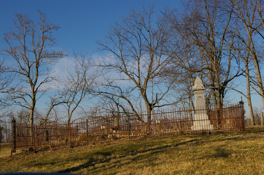
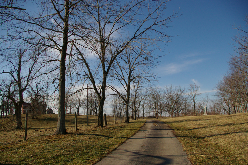
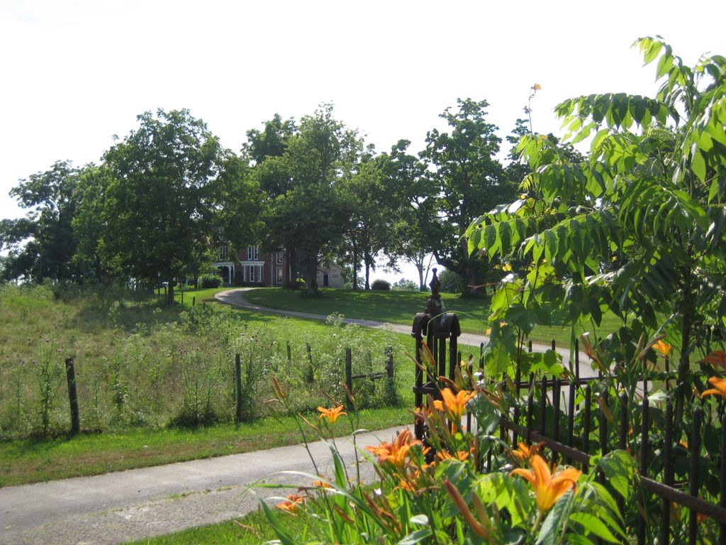
| Description | : | Directions: From Reid Village, take Prewitt Road 2.8 miles. Turn right and follow driveway 0.2 mile to cemetery, which will be on the right. |
frequently asked questions (FAQ):
-
Where is Prewitt Cemetery?
Prewitt Cemetery is located at Montgomery County ,Kentucky ,USA.
-
Prewitt Cemetery cemetery's updated grave count on graveviews.com?
0 memorials
-
Where are the coordinates of the Prewitt Cemetery?
Latitude: 38.0222015
Longitude: -83.9981003
Nearby Cemetories:
1. Lulbegrud Baptist Church Cemetery
Klondike, Montgomery County, USA
Coordinate: 38.0204500, -83.9892000
2. Barrow and Hoskins Cemetery
Prewitt, Montgomery County, USA
Coordinate: 38.0158330, -83.9905560
3. Prewitt and Combs Cemetery
Prewitt, Montgomery County, USA
Coordinate: 38.0180560, -83.9861110
4. French Cemetery
Montgomery County, USA
Coordinate: 38.0289001, -84.0092010
5. Fletcher-Garrett Cemetery
Montgomery County, USA
Coordinate: 38.0128674, -83.9738331
6. Orear Cemetery
Montgomery County, USA
Coordinate: 38.0238890, -83.9675000
7. Calk Cemetery
Mount Sterling, Montgomery County, USA
Coordinate: 38.0290670, -83.9609640
8. Davis Cemetery
Montgomery County, USA
Coordinate: 38.0281150, -84.0374490
9. Morton Cemetery
Grassy Lick, Montgomery County, USA
Coordinate: 38.0544600, -84.0254500
10. Morton Slave Burial Grounds
Grassy Lick, Montgomery County, USA
Coordinate: 38.0553200, -84.0248100
11. Hedges Station Cemetery
Hedges, Clark County, USA
Coordinate: 37.9984200, -84.0380610
12. Bethlehem Christian Church Cemetery
Clark County, USA
Coordinate: 37.9868333, -84.0251167
13. Hodge Cemetery
Clark County, USA
Coordinate: 38.0472221, -84.0416641
14. Anderson Family Cemetery
Montgomery County, USA
Coordinate: 38.0008330, -83.9455560
15. Spratt and Cockrell Family Cemetery
Mount Sterling, Montgomery County, USA
Coordinate: 38.0337100, -83.9377460
16. Ferguson Cemetery
Grassy Lick, Montgomery County, USA
Coordinate: 38.0680560, -83.9750000
17. Civil War Cemetery
Montgomery County, USA
Coordinate: 38.0561110, -83.9505560
18. Kidd Cemetery
Montgomery County, USA
Coordinate: 37.9683330, -83.9877780
19. Episcopal Church Cemetery
Mount Sterling, Montgomery County, USA
Coordinate: 38.0566670, -83.9441670
20. Hainline Cemetery
Montgomery County, USA
Coordinate: 37.9815810, -83.9497990
21. Estill's Defeat Cemetery
Mount Sterling, Montgomery County, USA
Coordinate: 38.0539120, -83.9376340
22. Peel Family Graveyard
Kiddville, Clark County, USA
Coordinate: 37.9614890, -83.9950380
23. Daniel Cemetery
Mount Sterling, Montgomery County, USA
Coordinate: 38.0666670, -83.9452780
24. Walker Cemetery
Mount Sterling, Montgomery County, USA
Coordinate: 38.0544870, -83.9321890