
| Memorials | : | 0 |
| Location | : | Grassy Lick, Montgomery County, USA |
| Coordinate | : | 38.0544600, -84.0254500 |
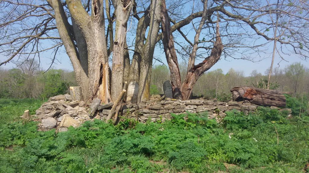
| Description | : | North on Prewitt-Grassy Lick Road approx.1.4 miles from its intersection of Hwy. 60. Cemetery is located in pasture due west approx. 2500 feet off of the road. The Morton Slave Burial Grounds are about 200 to 300 feet North East of this Armstead Morton Cemetery. The Riggs Cemetery (Parents of Martha)is approx. 1900 feet South West of this Armstead Morton Cemetery. |
frequently asked questions (FAQ):
-
Where is Morton Cemetery?
Morton Cemetery is located at Grassy Lick, Montgomery County ,Kentucky ,USA.
-
Morton Cemetery cemetery's updated grave count on graveviews.com?
0 memorials
-
Where are the coordinates of the Morton Cemetery?
Latitude: 38.0544600
Longitude: -84.0254500
Nearby Cemetories:
1. Morton Slave Burial Grounds
Grassy Lick, Montgomery County, USA
Coordinate: 38.0553200, -84.0248100
2. Hodge Cemetery
Clark County, USA
Coordinate: 38.0472221, -84.0416641
3. Greene Cemetery
Montgomery County, USA
Coordinate: 38.0777780, -84.0383330
4. Grassy Lick Cemetery
Grassy Lick, Montgomery County, USA
Coordinate: 38.0802780, -84.0227780
5. Davis Cemetery
Montgomery County, USA
Coordinate: 38.0281150, -84.0374490
6. French Cemetery
Montgomery County, USA
Coordinate: 38.0289001, -84.0092010
7. Nelson and Domigan Cemetery
Grassy Lick, Montgomery County, USA
Coordinate: 38.0835910, -84.0010590
8. Greene Cemetery
Grassy Lick, Montgomery County, USA
Coordinate: 38.0886110, -84.0363890
9. Prewitt Cemetery
Montgomery County, USA
Coordinate: 38.0222015, -83.9981003
10. Ferguson Cemetery
Grassy Lick, Montgomery County, USA
Coordinate: 38.0680560, -83.9750000
11. Lulbegrud Baptist Church Cemetery
Klondike, Montgomery County, USA
Coordinate: 38.0204500, -83.9892000
12. Barrow and Hoskins Cemetery
Prewitt, Montgomery County, USA
Coordinate: 38.0158330, -83.9905560
13. Prewitt and Combs Cemetery
Prewitt, Montgomery County, USA
Coordinate: 38.0180560, -83.9861110
14. Orear Cemetery
Montgomery County, USA
Coordinate: 38.0238890, -83.9675000
15. Calk Cemetery
Mount Sterling, Montgomery County, USA
Coordinate: 38.0290670, -83.9609640
16. Hedges Station Cemetery
Hedges, Clark County, USA
Coordinate: 37.9984200, -84.0380610
17. Fletcher-Garrett Cemetery
Montgomery County, USA
Coordinate: 38.0128674, -83.9738331
18. Civil War Cemetery
Montgomery County, USA
Coordinate: 38.0561110, -83.9505560
19. Saint Thomas Cemetery
Mount Sterling, Montgomery County, USA
Coordinate: 38.0710983, -83.9483032
20. Episcopal Church Cemetery
Mount Sterling, Montgomery County, USA
Coordinate: 38.0566670, -83.9441670
21. Daniel Cemetery
Mount Sterling, Montgomery County, USA
Coordinate: 38.0666670, -83.9452780
22. Bethlehem Christian Church Cemetery
Clark County, USA
Coordinate: 37.9868333, -84.0251167
23. Fawns Cemetery
Mount Sterling, Montgomery County, USA
Coordinate: 38.1047597, -83.9660666
24. Estill's Defeat Cemetery
Mount Sterling, Montgomery County, USA
Coordinate: 38.0539120, -83.9376340