
| Memorials | : | 0 |
| Location | : | Huron, Henderson County, USA |
| Coordinate | : | 35.5127480, -88.4705640 |
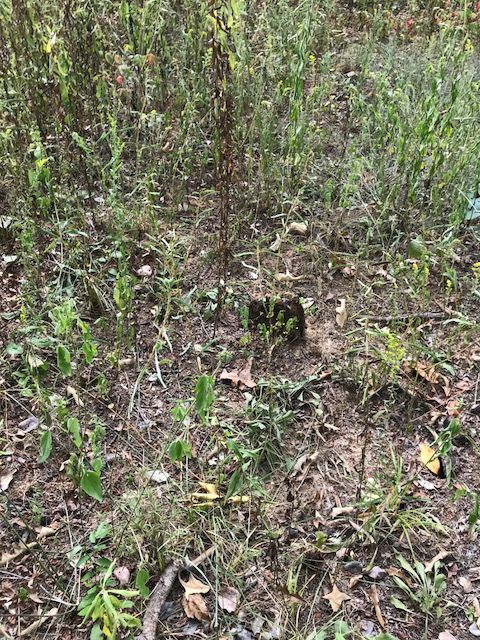
| Description | : | From the intersection of Johnson Crossroads Rd., & TN-100, east of Jacks Creek, travel north on Johnson Crossroads Rd. for 1.7 mi., continuing for about 75 yd. onto Bailey Rd., turning north (left) onto Morris Rd., going 0.7 mi., turning northeast onto Laster School Rd., going 0.5 mi., turning north (left) onto Rhodes Ln., going 0.4 down this lane to the area of the cemetery in a small part of a wooded area to the left. |
frequently asked questions (FAQ):
-
Where is Grider Cemetery?
Grider Cemetery is located at Laster School Rd Huron, Henderson County ,Tennessee , 38345USA.
-
Grider Cemetery cemetery's updated grave count on graveviews.com?
0 memorials
-
Where are the coordinates of the Grider Cemetery?
Latitude: 35.5127480
Longitude: -88.4705640
Nearby Cemetories:
1. Laster Cemetery
Huron, Henderson County, USA
Coordinate: 35.5141770, -88.4801420
2. Old Jacks Creek Church Cemetery
Huron, Henderson County, USA
Coordinate: 35.5254930, -88.4526830
3. Old Frame Meetinghouse Cemetery
Jacks Creek, Chester County, USA
Coordinate: 35.4960740, -88.4904020
4. Rhodes Cemetery
Jacks Creek, Chester County, USA
Coordinate: 35.4999310, -88.4971510
5. Jones Cemetery
Chester County, USA
Coordinate: 35.5000000, -88.4974976
6. Old Big Springs Cemetery
Huron, Henderson County, USA
Coordinate: 35.5394520, -88.4762550
7. Bailey Cemetery
Jacks Creek, Chester County, USA
Coordinate: 35.4818670, -88.4820990
8. Johnson's Cross Roads Cemetery
Jacks Creek, Chester County, USA
Coordinate: 35.4824090, -88.4852410
9. Big Springs Cemetery
Henderson County, USA
Coordinate: 35.5456009, -88.4756012
10. Unity Cemetery
Chester County, USA
Coordinate: 35.5057983, -88.5111008
11. Hurt Cemetery
Jacks Creek, Chester County, USA
Coordinate: 35.4853610, -88.5032620
12. Hamlett Cemetery
Jacks Creek, Chester County, USA
Coordinate: 35.4893990, -88.5168991
13. Patterson Cemetery
Reagan, Henderson County, USA
Coordinate: 35.5110680, -88.4156360
14. Garrett Cemetery
Huron, Henderson County, USA
Coordinate: 35.5554150, -88.4938810
15. Barton Cemetery
Roby, Chester County, USA
Coordinate: 35.4683342, -88.4483871
16. Jacks Creek Apostolic Cemetery
Jacks Creek, Chester County, USA
Coordinate: 35.4731070, -88.5052670
17. Stewart Cemetery
Chester County, USA
Coordinate: 35.4700012, -88.4417038
18. Patterson Cemetery
Reagan, Henderson County, USA
Coordinate: 35.5072000, -88.4108000
19. Jordan Cemetery
Lexington, Henderson County, USA
Coordinate: 35.5551000, -88.4357000
20. Parrish Family Cemetery
Middle Fork, Henderson County, USA
Coordinate: 35.5396780, -88.5237750
21. Phelps Family Cemetery
Huron, Henderson County, USA
Coordinate: 35.5573500, -88.5022250
22. Shiloh Cemetery
Reagan, Henderson County, USA
Coordinate: 35.4876190, -88.4149490
23. Priddy Graveyard
Lexington, Henderson County, USA
Coordinate: 35.5648260, -88.4688010
24. Crook Cemetery
Huron, Henderson County, USA
Coordinate: 35.5536240, -88.5124970