
| Memorials | : | 0 |
| Location | : | Huron, Henderson County, USA |
| Coordinate | : | 35.5554150, -88.4938810 |
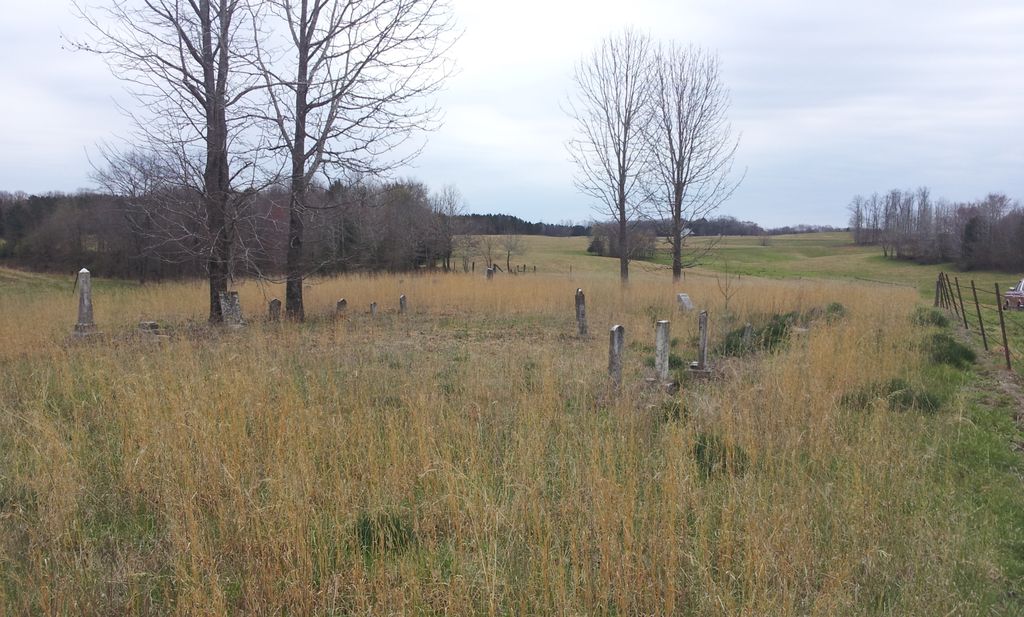
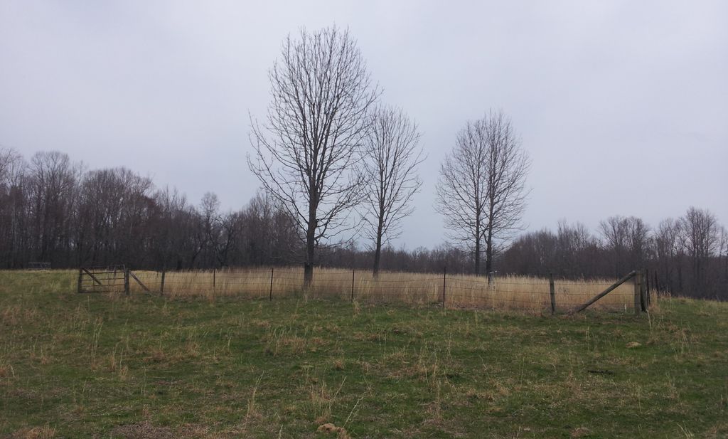
| Description | : | From the intersection of Mullins Rd. & TN-22 Alt., south of Lexington, travel west on Mullins Rd. for 1.2 mi., turning into a driveway on the west (right) side of the road. The cemetery is about 0.2 mi. west into a farm field on a private field road. The cemetery has been cleaned from earlier times & has a newer fence installed. |
frequently asked questions (FAQ):
-
Where is Garrett Cemetery?
Garrett Cemetery is located at 1292 Mullins Rd Huron, Henderson County ,Tennessee , 38345USA.
-
Garrett Cemetery cemetery's updated grave count on graveviews.com?
0 memorials
-
Where are the coordinates of the Garrett Cemetery?
Latitude: 35.5554150
Longitude: -88.4938810
Nearby Cemetories:
1. Phelps Family Cemetery
Huron, Henderson County, USA
Coordinate: 35.5573500, -88.5022250
2. Crook Cemetery
Huron, Henderson County, USA
Coordinate: 35.5536240, -88.5124970
3. Big Springs Cemetery
Henderson County, USA
Coordinate: 35.5456009, -88.4756012
4. Old Big Springs Cemetery
Huron, Henderson County, USA
Coordinate: 35.5394520, -88.4762550
5. Priddy Graveyard
Lexington, Henderson County, USA
Coordinate: 35.5648260, -88.4688010
6. Parrish Family Cemetery
Middle Fork, Henderson County, USA
Coordinate: 35.5396780, -88.5237750
7. Browns Pentecostal Church Cemetery
Huron, Henderson County, USA
Coordinate: 35.5791010, -88.5182410
8. Hendrick Graveyard
Huron, Henderson County, USA
Coordinate: 35.5511000, -88.5320000
9. Middlefork Road Church Cemetery
Luray, Henderson County, USA
Coordinate: 35.5573190, -88.5344410
10. Cooper Cemetery
Henderson County, USA
Coordinate: 35.5924988, -88.4935989
11. Laster Cemetery
Huron, Henderson County, USA
Coordinate: 35.5141770, -88.4801420
12. Chapel Hill Baptist Church Cemetery
Lexington, Henderson County, USA
Coordinate: 35.5983900, -88.4864500
13. Old Jacks Creek Church Cemetery
Huron, Henderson County, USA
Coordinate: 35.5254930, -88.4526830
14. Grider Cemetery
Huron, Henderson County, USA
Coordinate: 35.5127480, -88.4705640
15. Brown Cemetery
Chester County, USA
Coordinate: 35.5527992, -88.5516968
16. Jordan Cemetery
Lexington, Henderson County, USA
Coordinate: 35.5551000, -88.4357000
17. Palestine Church Cemetery
Lexington, Henderson County, USA
Coordinate: 35.5904470, -88.4478410
18. Unity Cemetery
Chester County, USA
Coordinate: 35.5057983, -88.5111008
19. Jones Cemetery
Chester County, USA
Coordinate: 35.5000000, -88.4974976
20. Rhodes Cemetery
Jacks Creek, Chester County, USA
Coordinate: 35.4999310, -88.4971510
21. Mills Darden Cemetery
Lexington, Henderson County, USA
Coordinate: 35.6134700, -88.5051910
22. Old Frame Meetinghouse Cemetery
Jacks Creek, Chester County, USA
Coordinate: 35.4960740, -88.4904020
23. Mount Zion Cemetery
Lexington, Henderson County, USA
Coordinate: 35.5623150, -88.4213170
24. Palestine Pentecostal Church Cemetery
Lexington, Henderson County, USA
Coordinate: 35.5908080, -88.4342830