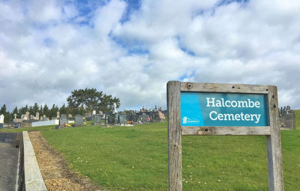
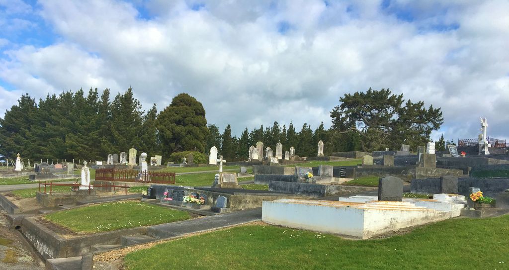
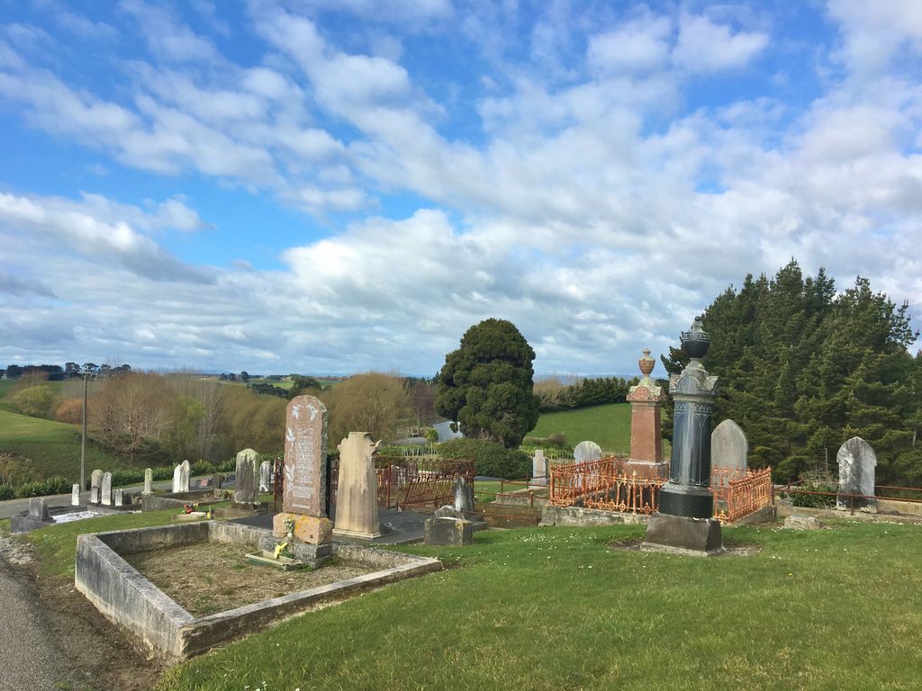
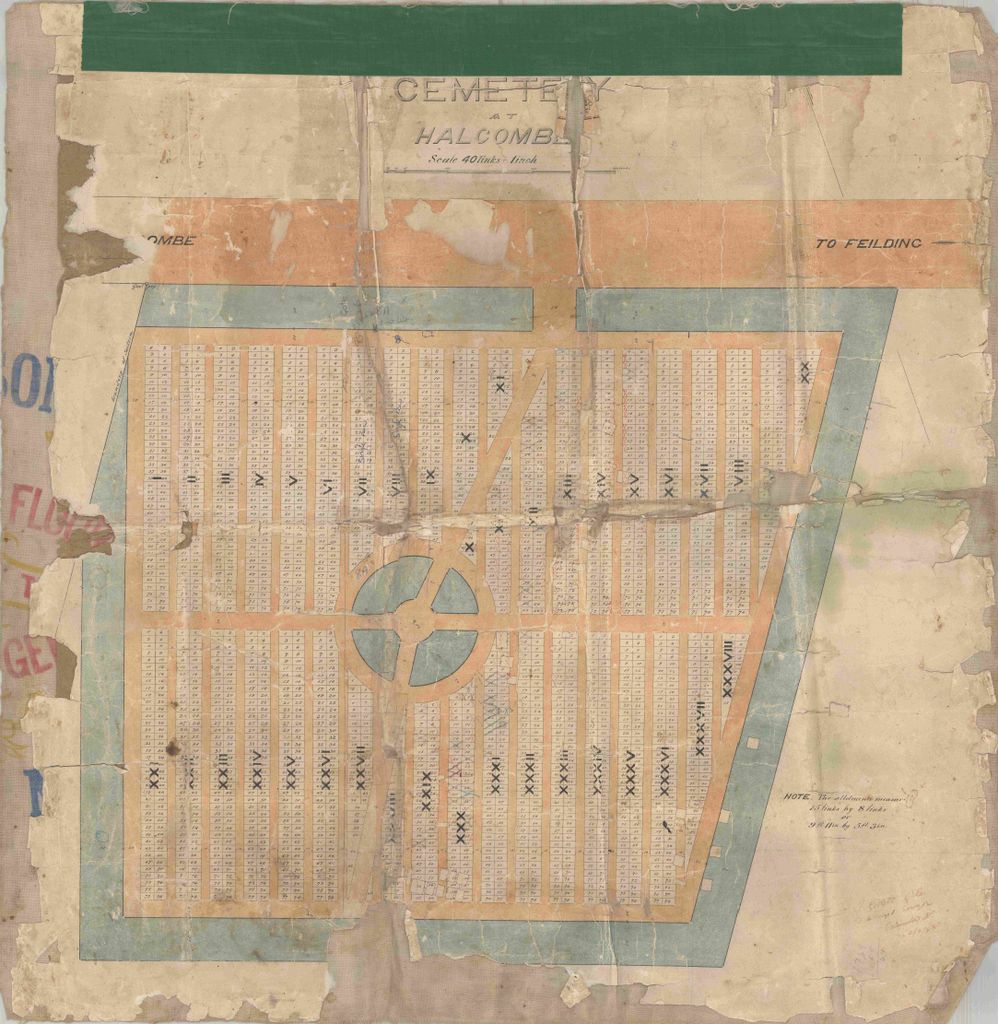
| Memorials | : | 0 |
| Location | : | Halcombe, Manawatu District, New Zealand |
| Coordinate | : | -40.1584590, 175.5019780 |
| Description | : | HALCOMBE - Township on the Rangitikei Plans, 16km south east of Marton and 13km north west of Feilding. The land here was brought up in 1871 as part of the 40,500 ha 'Manchester Block' by the Hon Lieutenant Colonel William Fielding, chief representative of the special English Settlement scheme promoted by the Emigrants and Colonists Aid Corporation formed in 1867 under the chairmanship of the Duke of Manchester. The first settlers arrived in 1874 and named after Arthur William Follett Halcombe who came to NZ in 1855 and in 1872 became New Zealand agent and general manager for the E.C.A.... Read More |
frequently asked questions (FAQ):
-
Where is Halcombe Cemetery?
Halcombe Cemetery is located at Halcombe Rd,Manawatu Halcombe, Manawatu District ,Manawatū-Whanganui ,New Zealand.
-
Halcombe Cemetery cemetery's updated grave count on graveviews.com?
0 memorials
-
Where are the coordinates of the Halcombe Cemetery?
Latitude: -40.1584590
Longitude: 175.5019780
Nearby Cemetories:
1. Feilding Cemetery
Feilding, Manawatu District, New Zealand
Coordinate: -40.1892990, 175.5543140
2. Sandon Cemetery
Sanson, Manawatu District, New Zealand
Coordinate: -40.2026230, 175.4451310
3. Greatford Cemetery
Greatford, Rangitikei District, New Zealand
Coordinate: -40.1260100, 175.4175700
4. Tokorangi Urupā
Halcombe, Manawatu District, New Zealand
Coordinate: -40.0856300, 175.4894900
5. Bulls Māori Cemetery
Bulls, Rangitikei District, New Zealand
Coordinate: -40.1841400, 175.4092600
6. Clifton Cemetery
Bulls, Rangitikei District, New Zealand
Coordinate: -40.1752170, 175.4002900
7. St Michael & All Angels Churchyard Stanway
Halcombe, Manawatu District, New Zealand
Coordinate: -40.1037600, 175.5814900
8. Maunga Tauari Urupa
Awahuri, Manawatu District, New Zealand
Coordinate: -40.2619750, 175.5081430
9. Aorangi Urupā
Manawatu District, New Zealand
Coordinate: -40.2443660, 175.5870110
10. Mount View Cemetery
Marton, Rangitikei District, New Zealand
Coordinate: -40.0631570, 175.4252250
11. St Stephens Anglican Cemetery
Marton, Rangitikei District, New Zealand
Coordinate: -40.0618230, 175.4258020
12. Marton Lutheran Cemetery Tutaenui
Marton, Rangitikei District, New Zealand
Coordinate: -40.0772400, 175.3692700
13. St John's Anglican Church Cemetery
Marton, Rangitikei District, New Zealand
Coordinate: -40.0298860, 175.4759430
14. Fraser Family Cemetery
Bulls, Rangitikei District, New Zealand
Coordinate: -40.2000380, 175.3294560
15. Rongotea Cemetery
Rongotea, Manawatu District, New Zealand
Coordinate: -40.3026690, 175.4526040
16. Taahuhu Marae
Rata, Rangitikei District, New Zealand
Coordinate: -40.0067040, 175.5154100
17. Wheriko Anglican Church Cemetery
Bulls, Rangitikei District, New Zealand
Coordinate: -40.2322588, 175.3195457
18. Waituna West Cemetery
Waituna West, Manawatu District, New Zealand
Coordinate: -40.0419980, 175.6417430
19. Bunnythorpe Cemetery
Palmerston North, Palmerston North City, New Zealand
Coordinate: -40.2867770, 175.6272590
20. Parewanui Presbyterian Cemetery
Tangimoana, Manawatu District, New Zealand
Coordinate: -40.2229440, 175.3061780
21. Bonny Glen Cemetery
Marton, Rangitikei District, New Zealand
Coordinate: -40.0496200, 175.3410200
22. Upper Tutaenui Cemetery
Marton, Rangitikei District, New Zealand
Coordinate: -40.0086900, 175.4093900
23. St Agnes Anglican Churchyard
Kiwitea, Manawatu District, New Zealand
Coordinate: -40.1058087, 175.7196222
24. Kelvin Grove Cemetery
Palmerston North, Palmerston North City, New Zealand
Coordinate: -40.3239060, 175.6616870


