| Memorials | : | 9 |
| Location | : | Marton, Rangitikei District, New Zealand |
| Coordinate | : | -40.0496200, 175.3410200 |
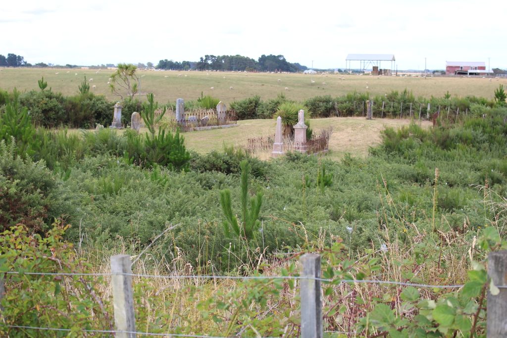
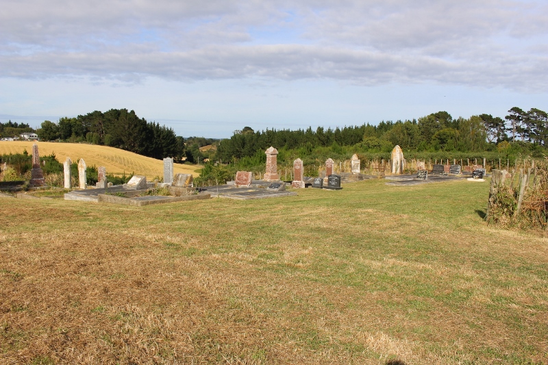
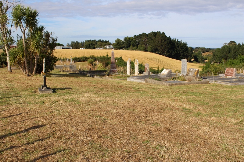
| Description | : | Bonny Glen Cemetery is also sometimes known as the Western Rangitikei Cemetery and is on Fern Flats Road which is off Wanganui Road, situated just 7kms west of Marton in the Rangitikei. The settlements of Bonny Glen and Fern Flats were originally settled by Highland Scots who had trekked up the "Beach Highway" from Wellington to the Rangitikei from about 1849. This Cemetery is a Presbyterian Cemetery and there used to be a small Church on site that in times past was well patronized by the Scottish families living in the area, however the Church has since long gone. This Cemetery is... Read More |
frequently asked questions (FAQ):
-
Where is Bonny Glen Cemetery?
Bonny Glen Cemetery is located at Marton, Rangitikei District ,Manawatū-Whanganui ,New Zealand.
-
Bonny Glen Cemetery cemetery's updated grave count on graveviews.com?
8 memorials
-
Where are the coordinates of the Bonny Glen Cemetery?
Latitude: -40.0496200
Longitude: 175.3410200
Nearby Cemetories:
1. Marton Lutheran Cemetery Tutaenui
Marton, Rangitikei District, New Zealand
Coordinate: -40.0772400, 175.3692700
2. Mount View Cemetery
Marton, Rangitikei District, New Zealand
Coordinate: -40.0631570, 175.4252250
3. St Stephens Anglican Cemetery
Marton, Rangitikei District, New Zealand
Coordinate: -40.0618230, 175.4258020
4. Upper Tutaenui Cemetery
Marton, Rangitikei District, New Zealand
Coordinate: -40.0086900, 175.4093900
5. Grant Family Makirikiri Cemetery
Turakina, Rangitikei District, New Zealand
Coordinate: -40.0625400, 175.2258200
6. Turakina Catholic Cemetery
Turakina, Rangitikei District, New Zealand
Coordinate: -40.0453000, 175.2239600
7. Greatford Cemetery
Greatford, Rangitikei District, New Zealand
Coordinate: -40.1260100, 175.4175700
8. Turakina Cemetery
Turakina, Rangitikei District, New Zealand
Coordinate: -40.0461300, 175.2140160
9. St John's Anglican Church Cemetery
Marton, Rangitikei District, New Zealand
Coordinate: -40.0298860, 175.4759430
10. Tokorangi Urupā
Halcombe, Manawatu District, New Zealand
Coordinate: -40.0856300, 175.4894900
11. Te Mangungu Churchyard
Turakina, Rangitikei District, New Zealand
Coordinate: -40.0633110, 175.1818200
12. Ratana Cemetery
Ratana, Rangitikei District, New Zealand
Coordinate: -40.0311470, 175.1771200
13. Clifton Cemetery
Bulls, Rangitikei District, New Zealand
Coordinate: -40.1752170, 175.4002900
14. Kauangaroa Pa Cemetery
Kauangaroa, Whanganui District, New Zealand
Coordinate: -39.9231800, 175.2788000
15. Taahuhu Marae
Rata, Rangitikei District, New Zealand
Coordinate: -40.0067040, 175.5154100
16. Bulls Māori Cemetery
Bulls, Rangitikei District, New Zealand
Coordinate: -40.1841400, 175.4092600
17. Fraser Family Cemetery
Bulls, Rangitikei District, New Zealand
Coordinate: -40.2000380, 175.3294560
18. Halcombe Cemetery
Halcombe, Manawatu District, New Zealand
Coordinate: -40.1584590, 175.5019780
19. Sandon Cemetery
Sanson, Manawatu District, New Zealand
Coordinate: -40.2026230, 175.4451310
20. Parewanui Presbyterian Cemetery
Tangimoana, Manawatu District, New Zealand
Coordinate: -40.2229440, 175.3061780
21. Matarawa Cemetery
Fordell, Whanganui District, New Zealand
Coordinate: -39.9468100, 175.1452700
22. Wheriko Anglican Church Cemetery
Bulls, Rangitikei District, New Zealand
Coordinate: -40.2322588, 175.3195457
23. Matarawa Presbyterian Cemetery
Whanganui, Whanganui District, New Zealand
Coordinate: -39.9461300, 175.1433100
24. St Michael & All Angels Churchyard Stanway
Halcombe, Manawatu District, New Zealand
Coordinate: -40.1037600, 175.5814900


