| Memorials | : | 33 |
| Location | : | Marton, Rangitikei District, New Zealand |
| Coordinate | : | -40.0618230, 175.4258020 |
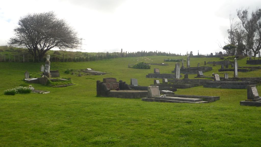
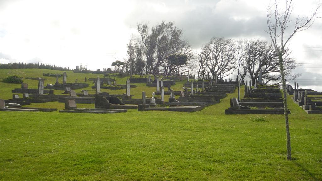
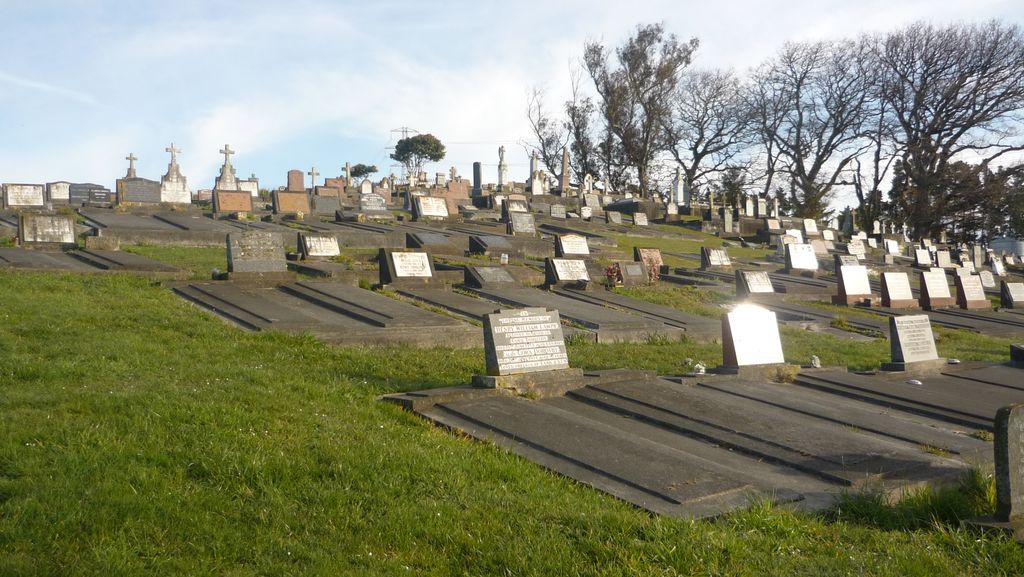
| Description | : | The location of this Cemetery is on the west side of State Highway 1, about 15 kilometres north of Bulls, adjacent to the Mt View Cemetery. It is often confused with the Mt View Cemetery as it looks to be “all in one” but it if definitely a separate Cemetery and at one stage there was a fence in between the two. Many of the founding families that came up the “Beach Highway” to settle in the Rangitikei are buried in here. There appears to be some damage from earthquakes to some of the older Headstones. There are Memorials to those who... Read More |
frequently asked questions (FAQ):
-
Where is St Stephens Anglican Cemetery?
St Stephens Anglican Cemetery is located at Marton, Rangitikei District ,Manawatū-Whanganui ,New Zealand.
-
St Stephens Anglican Cemetery cemetery's updated grave count on graveviews.com?
28 memorials
-
Where are the coordinates of the St Stephens Anglican Cemetery?
Latitude: -40.0618230
Longitude: 175.4258020
Nearby Cemetories:
1. Mount View Cemetery
Marton, Rangitikei District, New Zealand
Coordinate: -40.0631570, 175.4252250
2. Marton Lutheran Cemetery Tutaenui
Marton, Rangitikei District, New Zealand
Coordinate: -40.0772400, 175.3692700
3. St John's Anglican Church Cemetery
Marton, Rangitikei District, New Zealand
Coordinate: -40.0298860, 175.4759430
4. Tokorangi Urupā
Halcombe, Manawatu District, New Zealand
Coordinate: -40.0856300, 175.4894900
5. Upper Tutaenui Cemetery
Marton, Rangitikei District, New Zealand
Coordinate: -40.0086900, 175.4093900
6. Greatford Cemetery
Greatford, Rangitikei District, New Zealand
Coordinate: -40.1260100, 175.4175700
7. Bonny Glen Cemetery
Marton, Rangitikei District, New Zealand
Coordinate: -40.0496200, 175.3410200
8. Taahuhu Marae
Rata, Rangitikei District, New Zealand
Coordinate: -40.0067040, 175.5154100
9. Halcombe Cemetery
Halcombe, Manawatu District, New Zealand
Coordinate: -40.1584590, 175.5019780
10. Clifton Cemetery
Bulls, Rangitikei District, New Zealand
Coordinate: -40.1752170, 175.4002900
11. Bulls Māori Cemetery
Bulls, Rangitikei District, New Zealand
Coordinate: -40.1841400, 175.4092600
12. St Michael & All Angels Churchyard Stanway
Halcombe, Manawatu District, New Zealand
Coordinate: -40.1037600, 175.5814900
13. Sandon Cemetery
Sanson, Manawatu District, New Zealand
Coordinate: -40.2026230, 175.4451310
14. Grant Family Makirikiri Cemetery
Turakina, Rangitikei District, New Zealand
Coordinate: -40.0625400, 175.2258200
15. Turakina Catholic Cemetery
Turakina, Rangitikei District, New Zealand
Coordinate: -40.0453000, 175.2239600
16. Fraser Family Cemetery
Bulls, Rangitikei District, New Zealand
Coordinate: -40.2000380, 175.3294560
17. Feilding Cemetery
Feilding, Manawatu District, New Zealand
Coordinate: -40.1892990, 175.5543140
18. Turakina Cemetery
Turakina, Rangitikei District, New Zealand
Coordinate: -40.0461300, 175.2140160
19. Waituna West Cemetery
Waituna West, Manawatu District, New Zealand
Coordinate: -40.0419980, 175.6417430
20. Kauangaroa Pa Cemetery
Kauangaroa, Whanganui District, New Zealand
Coordinate: -39.9231800, 175.2788000
21. Parewanui Presbyterian Cemetery
Tangimoana, Manawatu District, New Zealand
Coordinate: -40.2229440, 175.3061780
22. Te Mangungu Churchyard
Turakina, Rangitikei District, New Zealand
Coordinate: -40.0633110, 175.1818200
23. Wheriko Anglican Church Cemetery
Bulls, Rangitikei District, New Zealand
Coordinate: -40.2322588, 175.3195457
24. Ratana Cemetery
Ratana, Rangitikei District, New Zealand
Coordinate: -40.0311470, 175.1771200


